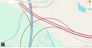
Has anyone tried this is FS2024?
 flightsim.to
No Handle Bar for Microsoft Flight Simulator | MSFS
✓ No Handle Bar is a Microsoft Flight Simulator 2020 mod created by Ither. A simple add-on that removes the handle bar from your screen, allowing for cleaner screenshots. Easy to install by placing the folder in your Community folder. Happy flying without distractions!

