Motormouse
SOH-CM-2024
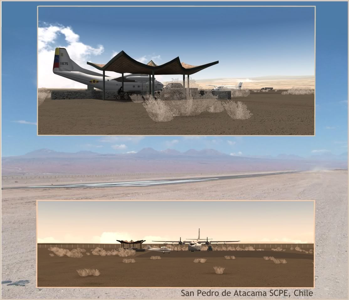
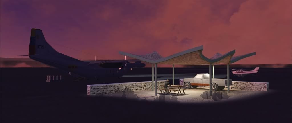
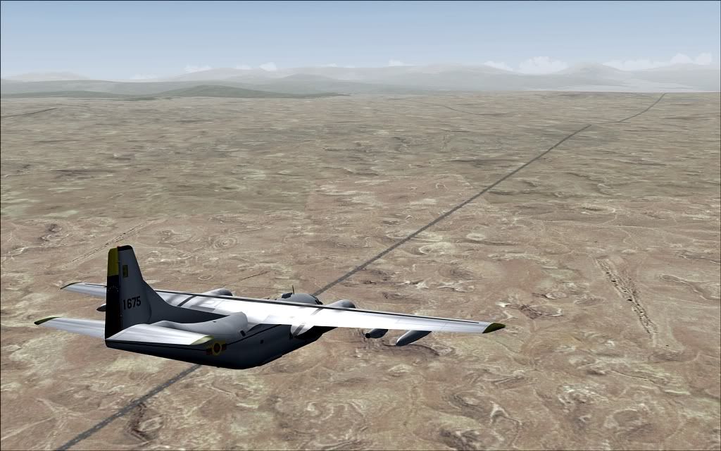
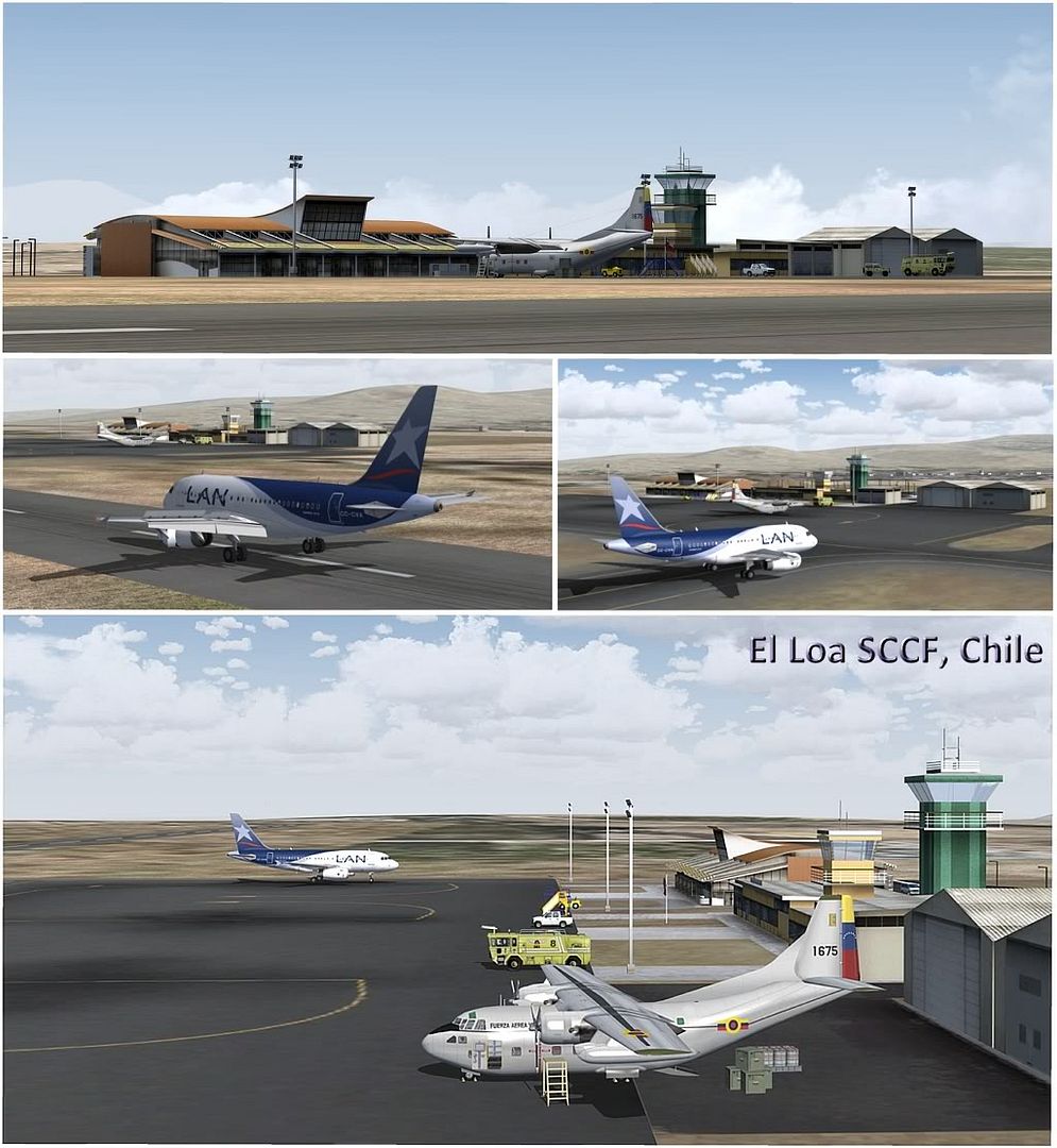
High in the Chilean Atacama
from here
http://twentynine-palms.de/index.html
not a huge lot of eye-candy, but very nice.
ttfn
Pete
from here
http://twentynine-palms.de/index.html
not a huge lot of eye-candy, but very nice.
ttfn
Pete