Severe Thunderstorm

CG_1976

Ret. US Coastie/RCAF
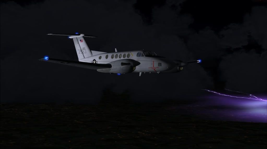
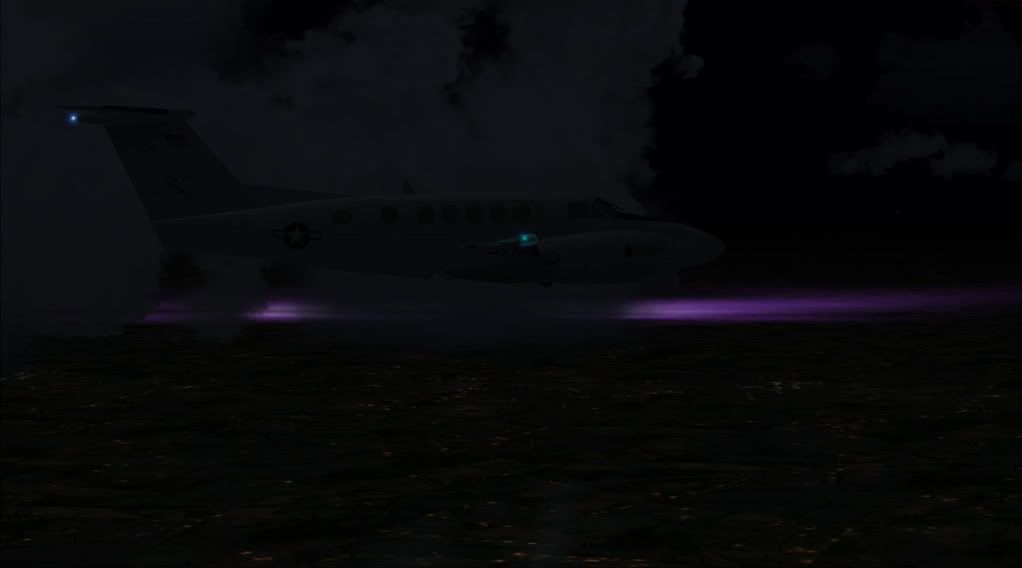
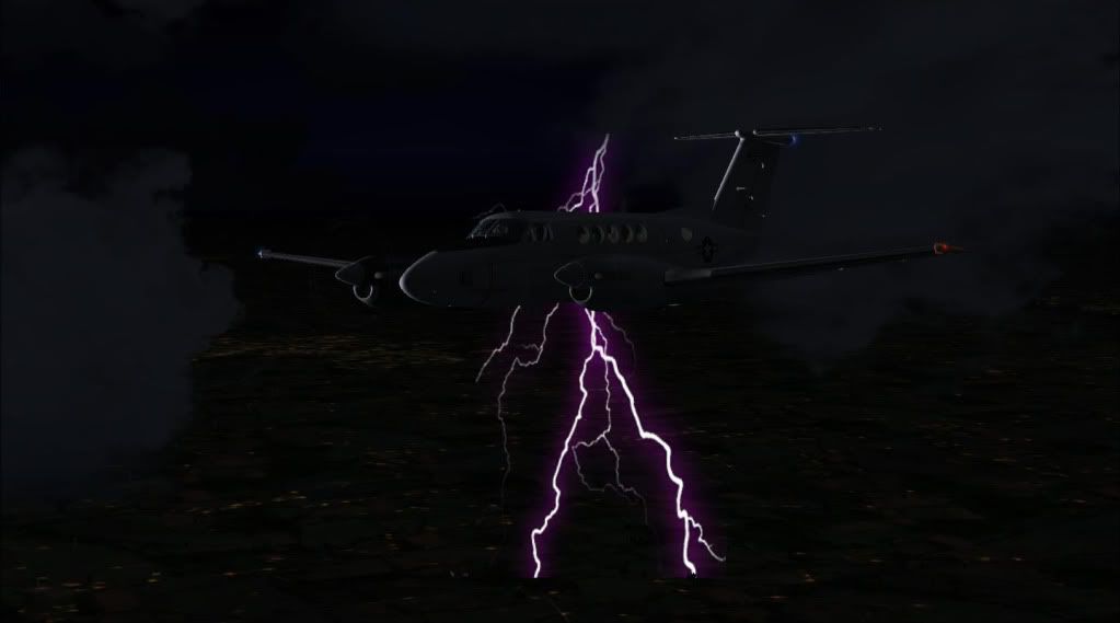
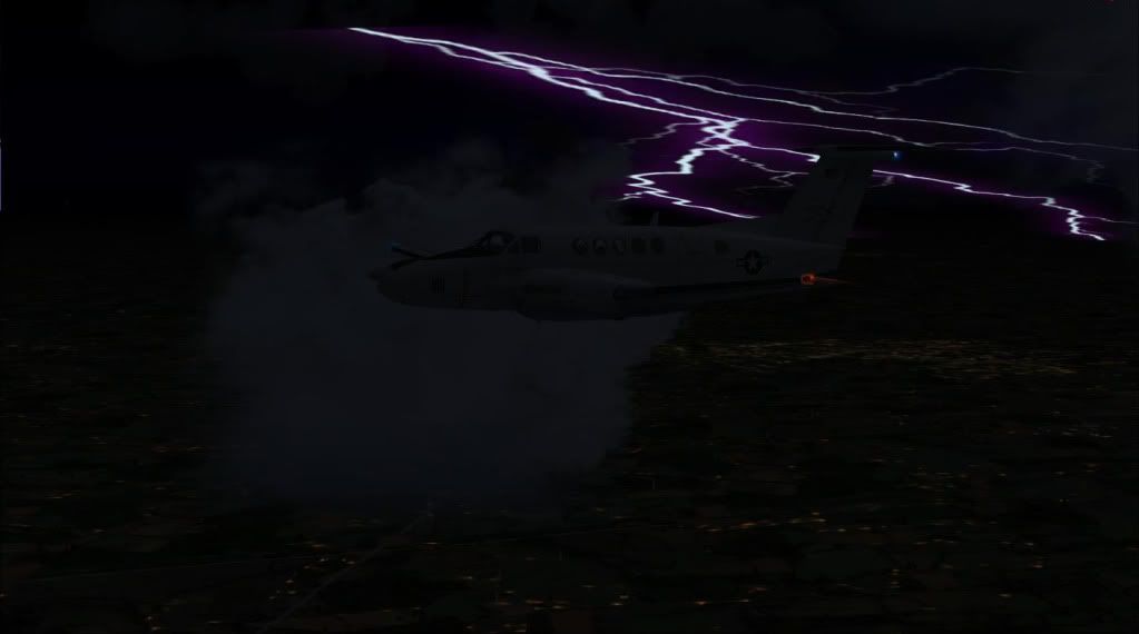
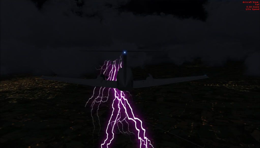
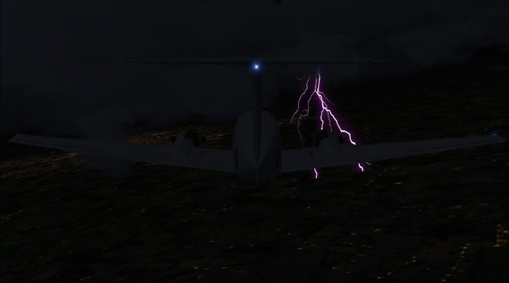
Yippeee I took my ISDT Marine up and investigated a serious Thunderstorm. While flying with REX i made visual noticed that the clouds were counter clockwise rotation, the hall mark sign No1 of Severe and multi lighting, winds around 40mph sustained and my personal hnter guage read 960.13milibars. So I check the US NWS and this thing was a whooper lookin like a small hurricane over Eau Claire WI headin towards Green Bay slow. All in all ******* wild fun flight with massive turbulance. I need a drink:icon29:.
fsx2009-08-1403-45-13-49f.jpg

fsx2009-08-1403-43-42-66f.jpg

fsx2009-08-1403-41-07-97f.jpg

fsx2009-08-1403-40-57-04f.jpg

fsx2009-08-1403-38-53-32f.jpg

fsx2009-08-1403-38-10-73f.jpg

fsx2009-08-1403-37-57-39f.jpg
 
Cool! I've been watching that storm on radar. It really is something else. Right now it's got a band of thunderstorms coming out from it. WICKED!

Probably going to go north of here in Appleton...
 
It has a pretty rotation, kinda looks like its in regeneration phase and general heading towards Yupper Land. Darn, must be our dry Air bubble again. Why cant we get rain here, its still boiling in Green Bay. That band you see is a Bow Echo formation, extremely dangerous WX.
 
Back
Top