• There seems to be an uptick in Political comments in recent months. Those of us who are long time members of the site know that Political and Religious content has been banned for years. Nothing has changed. Please leave all political and religious comments out of the forums.

    If you recently joined the forums you were not presented with this restriction in the terms of service. This was due to a conversion error when we went from vBulletin to Xenforo. We have updated our terms of service to reflect these corrections.

    Please note any post refering to a politician will be considered political even if it is intended to be humor. Our experience is these topics have a way of dividing the forums and causing deep resentment among members. It is a poison to the community. We appreciate compliance with the rules.

    The Staff of SOH

  • Server side Maintenance is done. We still have an update to the forum software to run but that one will have to wait for a better time.

Taking Maskrider's Marianas back to Summer '44 Project

UncleTgt

SOH-CM-2025
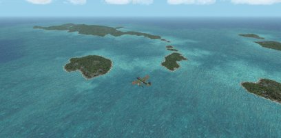
I thought it would be better to start a separate thread to record progress on revising Maskrider's Marianas Islands back to a summer 1944 status.

Progress so far:

I've removed the US Base bgls. I moved the LOD 9 mesh into a separate layer, as I'd like to find a way to use this scenery without deactivating Rhumbas mesh.

I found I had to make new watermasks & VTP excludes to eliminate some "ghost" islets & shorelines that were showing up. Whilst I was doing this I created some waterclass bgls that better match the new landmass locations.


Then I hand-flew around the inhabited islands & checked for sloping water near the shores, creating some local A16N flattens wherever I came across them.

At the moment I'm still using the existing road networks, but have changed their appearance by renaming some texture bitmaps & placing them in the MR_Marianas/texture folder.

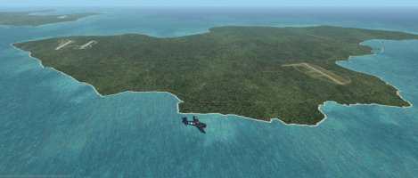
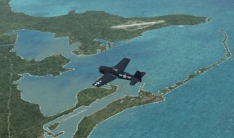
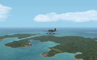
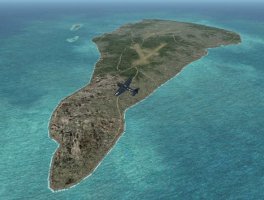
So here's Saipan...
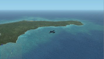
MNS_Saipan_N_WIP.jpg
MNS_Saipan_S_WIP.jpg
 
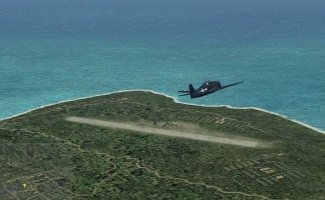
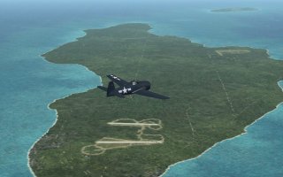
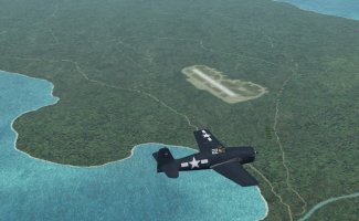
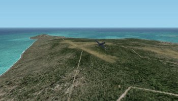
I've completed the airbase backgrounds for Saipan island.

MNS_Marpi_WIPa.jpg

MNS_Aslito_WIPb.jpg

MNS_Charan_ELS_WIPa.jpg


I'll go back later & revise the gsl, at the moment it's Maskrider's gsl, so there's lots of stuff related to the later US bases.
 
Thanks UT

My son will put it to good use in The Big E 44 campaign.He also found that on Guam Orote and Agana were actually built by the Japanese.Not sure if they built 2 runways for Agana though.The US may have added the second runway while repairing the airstrips. This is where some of the IJN Carrier planes tried to land and shot down by the USN fighters.

Hiede
 
Hi Hiede,

According to dialy https://www.heiwakinen.go.jp/wp-content/uploads/archive/library/roukunote/sensyu/01/S_01_005_1.pdf
wrote by military civilian, who was brought to Guam Sept 30 1943 by transport ship Uyo-maru, acutually involved in the construction of the airfield, Japanese finally planned to build 4 airfields.
According to him, they could finish to build 2 (one is 2000m, other is 1000m) and 3rd has almost finish to build.
He doesn't say which is witch.
I will try to dig more info when I have time.
 
More info ;
According to other documents, constraction of Orote airfield completed on Feb 1944, and "2nd airfield" completed on April 1944.
Then by June, Zero x 4(263ku), Ginga x 40(521ku), Zero x 8(202ku), Betty x 12(755ku) were deployed.
 
Hi Hiede,

According to dialy https://www.heiwakinen.go.jp/wp-content/uploads/archive/library/roukunote/sensyu/01/S_01_005_1.pdf
wrote by military civilian, who was brought to Guam Sept 30 1943 by transport ship Uyo-maru, acutually involved in the construction of the airfield, Japanese finally planned to build 4 airfields.
According to him, they could finish to build 2 (one is 2000m, other is 1000m) and 3rd has almost finish to build.
He doesn't say which is witch.
I will try to dig more info when I have time.
My son looked that all up.At the time the USN attacked only Agana and Orote were completed.He also has his Uncle's (( Talon ) notes on the area.Everyone knows Talon was pretty thorough with his research for missions and campaigns with what was available at the time.

Hiede
 
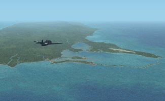
The layout at Agana-Tiyan is largely fictional. The only views I could find were all of the US airbase, so I adapted some of that layout to match the written descriptions of the Japanese runway.
Research always brings up as many questions as answers - many sources say Agana-Tiyan was not quite finished, yet the same sources also ascribe it as the main base for the 50 or so P1Y1 Frances bombers, an aircraft with notoriously high maintenance loads (mainly to do with their engines) - it therefore seems fanciful that this airstrip was still "unfinished" at the time of the US invasion.

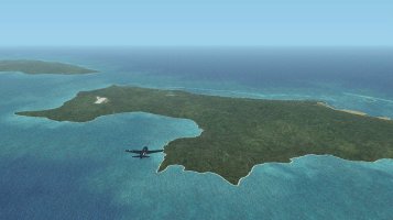
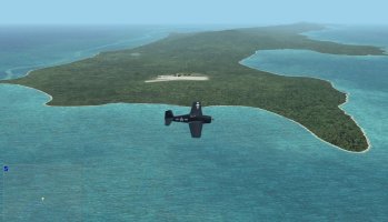
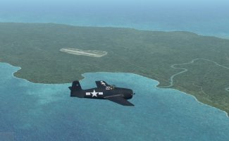
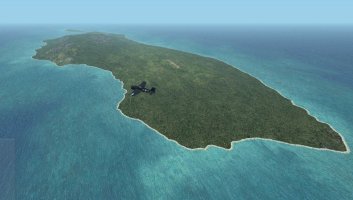
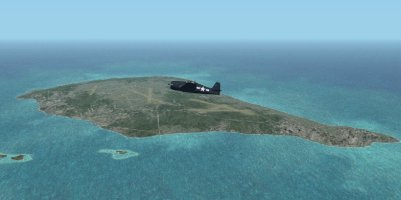
Last pic for today, showing Rota.
MNS_Rota_WIPa.jpg
 
These look great John.
Will MR's 1945 US airfields and associated GSL scenery fit OK on your improved terrain?
 
Kev,

I'm trying to reproduce my current workflow, where the base scenery sits in it's own layer grouping, & the airbases & facilities sit in a separate scenery layer. That should allow people to move between Summer '44 (JAP), & MR's original selection (US, spring '45).

It's not simple. It seems that Maskrider included some habrour flattens in several of his airbase bgls. I'm having to go searching for them with BGLAnalyze, then recompile separate flattens for use with the Summer '44 set-up.

I'm hoping Maskriders original airbase bgls will display OK even with these flattens duplicated, but haven't spent any time trying it yet.

I suspect the nature of file archiving & moving might confuse some, so am leaning towards a "re-issue" package, where the file movements are already done for you, with separate US & JAP airbase scenery layers, each with it's own gsl.

On a separate issue, I'm finding Iwo's airstrips a bit more challenging - I think that's why Chris drew them as VTP polys. Not a big fan of this approach, but blended backdrops require flat ground, & that's a bit hard to find on parts of Iwo...

Also, the LOD 9 mesh is great, but Suribachi tops out at 470 ft, when it should be 540 ft, so taking off from Chidori 2 it just doesn't look nearly impressive enough ...
 
Yes, MaskRider included everything in a single BGL file for each location in Australia, the Philippines and his other early scenery packages.

I had to redo a number of the flattens to suit the newer mesh.

I was wondering about Iwo Jima but didn't want to mention it as I know you already have your work cut out doing the Marianas.

You're doing a fabulous job John
 
Back
Top