-
Please see the most recent updates in the "Where did the .com name go?" thread. Posts number 16 and 17.
-
IMPORTANT DOWNLOADING INFORMATION - ALL MEMBERS PLEASE READ
Please see this thread for updates. Update Thread
SOH ADMINISTRATION
You are using an out of date browser. It may not display this or other websites correctly.
You should upgrade or use an alternative browser.
You should upgrade or use an alternative browser.
Spitfire K5054 90th Anniversary Circumnavigation of the UK: PIREPS
- Thread starter Melo965
- Start date

The SrG and T_K Spit Tour Adventure: Flight 6
Flight 6 took us from RAF Valley around the Welsh coast to what used to be RAF St. Athan. As we didn't have a Texan T1 between us I flew the Spit and Rob flew Piglet's A29B in one of my 7FTS paint schemes.
Here we are just after take-off and heading south in clear skies.
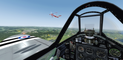
I seem to have spent a lot of time on this tour staring at Rob's rear end (ooo, errr, missus)!
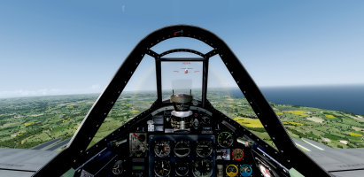
As we crossed the estuary onto the Gower Peninsular we started to notice low cloud ahead. I hope that's not a bad omen!
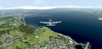
We then did an over-fly of Swansea airport that still exists in FSX and P3D and Little NavMap but which is no longer operating in real life apparently.
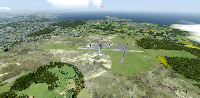
The destination airport was what was known as RAF St. Athan and since 2006 is now known as MOD St. Athan. We did an over-fly of the airport and local town and the VASI lights from Cardiff Airport can be seen at the top of the shot.
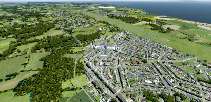
I circled around and made the customary curved approach to the active runway.
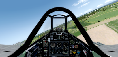
I stopped by the pump to refuel while Rob made a wheels-up low-pass down the active!
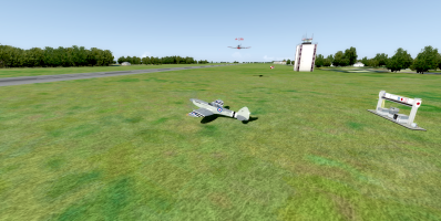
He got down safe and then it was time to figure who was going to fly what for the next leg.
Flight 6 took us from RAF Valley around the Welsh coast to what used to be RAF St. Athan. As we didn't have a Texan T1 between us I flew the Spit and Rob flew Piglet's A29B in one of my 7FTS paint schemes.
Here we are just after take-off and heading south in clear skies.
I seem to have spent a lot of time on this tour staring at Rob's rear end (ooo, errr, missus)!
As we crossed the estuary onto the Gower Peninsular we started to notice low cloud ahead. I hope that's not a bad omen!
We then did an over-fly of Swansea airport that still exists in FSX and P3D and Little NavMap but which is no longer operating in real life apparently.
The destination airport was what was known as RAF St. Athan and since 2006 is now known as MOD St. Athan. We did an over-fly of the airport and local town and the VASI lights from Cardiff Airport can be seen at the top of the shot.
I circled around and made the customary curved approach to the active runway.
I stopped by the pump to refuel while Rob made a wheels-up low-pass down the active!
He got down safe and then it was time to figure who was going to fly what for the next leg.

bosspecops
Members +
I applaud Melo's idea of flying the actual Spitfire version that did the Round Britain Flight, and the whole thing was his idea in the first place of course, so that's 'only right and proper', as my Mum would have said.
I'd intended to fly my re-painted PRXI(T) on the whole route, but I rather like the idea of flying different Marks too, so I'll fly a Mk. V on the next leg, and maybe other Marks later on in the Tour.
I'd intended to fly my re-painted PRXI(T) on the whole route, but I rather like the idea of flying different Marks too, so I'll fly a Mk. V on the next leg, and maybe other Marks later on in the Tour.

ScottishMike1
Members +
16th. May 2026 Leg 6 RAF Valley (EGOV) to St. Athan MOD (EGDX)
FS9 and FS Global Real Weather
PART 1
Weather:
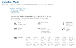
Time 10:00
Fuel 119 gallons or 48.1%
Not the best weather report, but just about usable and if we drop low for special fly pasts we should still provide a spectacle for people on the ground.
All procedures for power up and take off complete. Thanks Valley for an enjoyable stay:
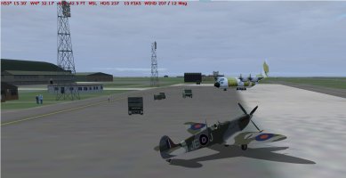
We are cleared to hold at rwy 1 so quite a long taxi. Take off clearance almost immediate and we are on our way:
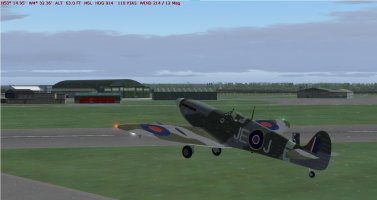
A sharp turn for a 165º heading for the Welsh mainland and a wing wave for the tower:
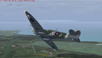
Over Caernarfon (EGCK) and turning to skirt the north shore of the Lleyn Peninsula:
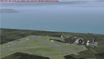
Finally time to look after the engine, adjusting the prop for 2000 RPM and a manifold pressure of 40. This translates into a relaxed 248 kts cruise.
After only some 9 nm. we are turning South East then rapidly south to overfly Llanbedr (EGOD), if memory serves me well, this station used to be used for drones and manned craft towing practice “targets”. We pass low:
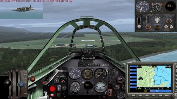
Heading further south down the coast and the weather has turned, low cloud and rain as well as an overcast above us. Aberystwyth is somewhere below us:
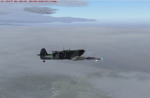
turning onto a 210º heading to pass south of Aberporth then heading for STU VOR and when over it a sharp turn for the south:
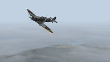
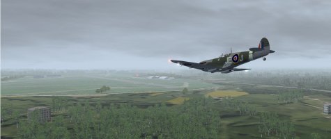
Haverfordwest (EGFE) we dive low so they might have a chance to see us from the ground:
FS9 and FS Global Real Weather
PART 1
Weather:
Time 10:00
Fuel 119 gallons or 48.1%
Not the best weather report, but just about usable and if we drop low for special fly pasts we should still provide a spectacle for people on the ground.
All procedures for power up and take off complete. Thanks Valley for an enjoyable stay:
We are cleared to hold at rwy 1 so quite a long taxi. Take off clearance almost immediate and we are on our way:
A sharp turn for a 165º heading for the Welsh mainland and a wing wave for the tower:
Over Caernarfon (EGCK) and turning to skirt the north shore of the Lleyn Peninsula:
Finally time to look after the engine, adjusting the prop for 2000 RPM and a manifold pressure of 40. This translates into a relaxed 248 kts cruise.
After only some 9 nm. we are turning South East then rapidly south to overfly Llanbedr (EGOD), if memory serves me well, this station used to be used for drones and manned craft towing practice “targets”. We pass low:
Heading further south down the coast and the weather has turned, low cloud and rain as well as an overcast above us. Aberystwyth is somewhere below us:
turning onto a 210º heading to pass south of Aberporth then heading for STU VOR and when over it a sharp turn for the south:
Haverfordwest (EGFE) we dive low so they might have a chance to see us from the ground:
ScottishMike1
Members +
16th. May 2026 Leg 6 RAF Valley (EGOV) to St. Athan MOD (EGDX)
FS9 and FS Global Real Weather
PART 2
Another sharp change as we head 100º for WP7 and what’s left of Pembrey (EGFP):
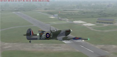
In short order we are approaching Swansea (EGFH) gone in real life but active and well illuminated in FS9. As they say “Nostalgia just isn’t what it used to be”:
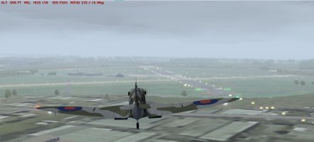
Now the difficult part landing at St. Athan without getting tangled up in Cardiff and its traffic. We are cleared for rwy26 so our circuit will take us around Cardiff, it can be confusing if you’re not used to it. St Athan off our left wing:
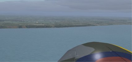
On base leg and Cardiff (EGFF) is now off our left wing:
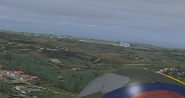
Now on short final for rwy 26:
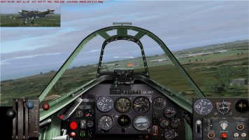
And down, not the best landing; quite a bounce after touch down but managed to keep on the runway and not dig wing tips into grass or tarmac:
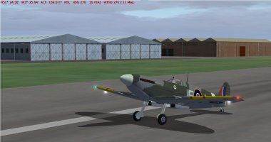
And a taxi to our parking spot and everything off. It has been a difficult leg with low cloud and turbulence stirring up a twisting route and then the landing next to Cardiff airport.
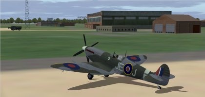
Time in the air 1hr. 8 minutes
52 gallons used.
St. Athan MOD seems quite busy and modern. What do they do here? Probably better not to ask.
FS9 and FS Global Real Weather
PART 2
Another sharp change as we head 100º for WP7 and what’s left of Pembrey (EGFP):
In short order we are approaching Swansea (EGFH) gone in real life but active and well illuminated in FS9. As they say “Nostalgia just isn’t what it used to be”:
Now the difficult part landing at St. Athan without getting tangled up in Cardiff and its traffic. We are cleared for rwy26 so our circuit will take us around Cardiff, it can be confusing if you’re not used to it. St Athan off our left wing:
On base leg and Cardiff (EGFF) is now off our left wing:
Now on short final for rwy 26:
And down, not the best landing; quite a bounce after touch down but managed to keep on the runway and not dig wing tips into grass or tarmac:
And a taxi to our parking spot and everything off. It has been a difficult leg with low cloud and turbulence stirring up a twisting route and then the landing next to Cardiff airport.
Time in the air 1hr. 8 minutes
52 gallons used.
St. Athan MOD seems quite busy and modern. What do they do here? Probably better not to ask.

Melo965
Members +
Spitfire K5054 TR9 Flight 2: Coningsby AB (EGXC) to Leuchars AB (EGQL) Part 1
For this event I am flying in FSX. Using Active Sky 2016 for weather and Little Navmap for navigation.
Flying an Aeroplane Heaven Mid-War pack TR9 Spitfire. Repainted to match the livery of the K5054 TR9 Spitfire.
After the (self-imposed) fuel issues on the first flight I did a quick local flight yesterday from Coningsby AB to check mixture, throttle, and prop settings before this flight. This leg 2 flight plan is the longest on paper at 235 nautical miles. So if I can manage the fuel properly for this flight then I should not have any trouble for the remaining UK tour flights. No time this month to put the TR9 in the shop to add extra fuel tanks.
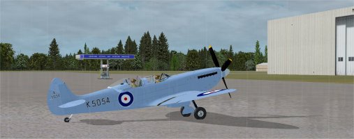
Ready to fly. Getting a bit wet in the rain, but it is best to have the canopy open for takeoff and landing, just in case. Wind direction indicates a takeoff on runway 07.
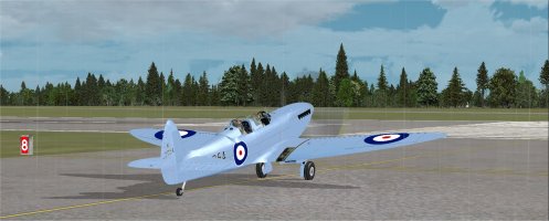
Holding short. The sign says Runway 8, but when I moved on to the runway it was marked as 07.
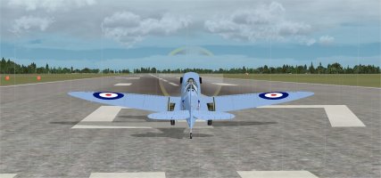
Ready for takeoff on 07.
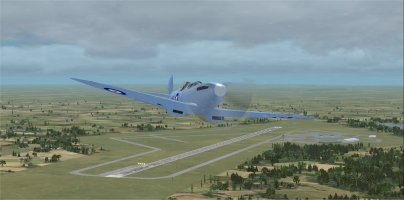
Getting on course.
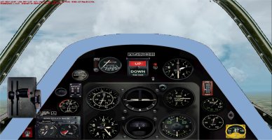
Here is where I adjusted the throttle, mixture and prop settings to conserve fuel. Moved the throttle lever down to the third of the eight marks on the joystick so about 63% throttle. I then coarsened the prop pitch and moved the mixture back to get a RPM of 2500 with 4 boost. Had an average speed of about 180 knots with these settings.
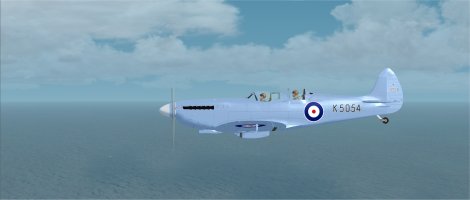
You can't see it off my right wing, but I am flying parallel to the prime meridian.
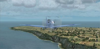
Flying along the beautiful UK coastline.
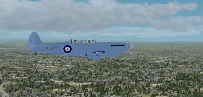
See Newcastle (EGNT) off my left wing.
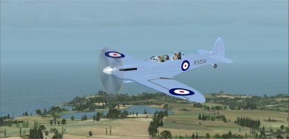
Getting close to the destination. Turning at St. Abbs to a heading of 299.
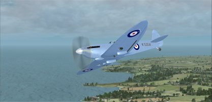
Final course correction to 354 degrees near North Berwick. At this point I still have 40% fuel on board with less than 20 miles to go so the fuel management worked out just fine. For almost all of the flight I stayed between 1000 and 2000 feet altitude.
Continued in Part 2
For this event I am flying in FSX. Using Active Sky 2016 for weather and Little Navmap for navigation.
Flying an Aeroplane Heaven Mid-War pack TR9 Spitfire. Repainted to match the livery of the K5054 TR9 Spitfire.
After the (self-imposed) fuel issues on the first flight I did a quick local flight yesterday from Coningsby AB to check mixture, throttle, and prop settings before this flight. This leg 2 flight plan is the longest on paper at 235 nautical miles. So if I can manage the fuel properly for this flight then I should not have any trouble for the remaining UK tour flights. No time this month to put the TR9 in the shop to add extra fuel tanks.
Ready to fly. Getting a bit wet in the rain, but it is best to have the canopy open for takeoff and landing, just in case. Wind direction indicates a takeoff on runway 07.
Holding short. The sign says Runway 8, but when I moved on to the runway it was marked as 07.
Ready for takeoff on 07.
Getting on course.
Here is where I adjusted the throttle, mixture and prop settings to conserve fuel. Moved the throttle lever down to the third of the eight marks on the joystick so about 63% throttle. I then coarsened the prop pitch and moved the mixture back to get a RPM of 2500 with 4 boost. Had an average speed of about 180 knots with these settings.
You can't see it off my right wing, but I am flying parallel to the prime meridian.
Flying along the beautiful UK coastline.
See Newcastle (EGNT) off my left wing.
Getting close to the destination. Turning at St. Abbs to a heading of 299.
Final course correction to 354 degrees near North Berwick. At this point I still have 40% fuel on board with less than 20 miles to go so the fuel management worked out just fine. For almost all of the flight I stayed between 1000 and 2000 feet altitude.
Continued in Part 2
Melo965
Members +
Spitfire K5054 TR9 Flight 2: Coningsby AB (EGXC) to Leuchars AB (EGQL) Part 2
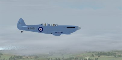
Flying at 1300 feet. Conditions are really foggy for the first time in the flight.
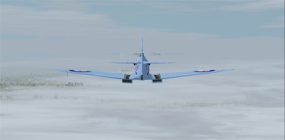
Still at 1300 feet altitude. The airport is straight ahead and close.
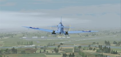
Finally spotted the field when I got down to 750 feet altitude and almost on top of the field.
I got tower permission to come around and do a fast pass down the 90 - 270 main runway.
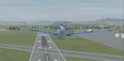
Fast pass under 200 feet altitude.
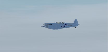
Tower view of me zipping past at 278 knots.
Based on wind direction, I then came around for a landing on runway 04. Full flaps, gear down, and canopies open. Especially necessary in these foggy conditions.
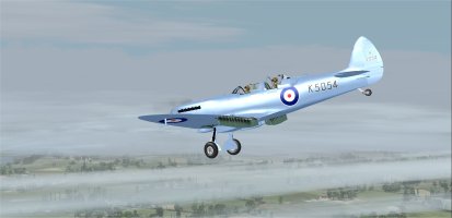
Base leg for 04, whether you believe it or not!
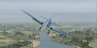
Curved approach for runway 04. PAPI indicates that I am right on the glideslope.
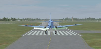
Almost down. I landed safely just beyond the numbers.
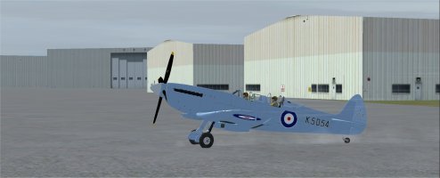
Parked at Leuchars AB (EGQL)
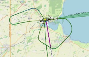
Flight track of my approach, fast pass, and landing. I learned my lesson after flight one. For this second flight I never deviated from the published flight plan except for this last bit, of course.
The flight was 301 miles. The flight was completed in 1 hour and 33 minutes at an average speed of 169 knots.
I used 67.5 gallons of fuel on the flight. For this flight the Merlin engine used 43.5 gallons per hour. Much improved over the last flight.
It is interesting that I had 40% fuel on board when I was less than 20 miles from the destination, but only had 21% fuel remaining after the fast pass down the runway and the landing. This Spitfire really drinks the fuel when at full power.
Flying at 1300 feet. Conditions are really foggy for the first time in the flight.
Still at 1300 feet altitude. The airport is straight ahead and close.
Finally spotted the field when I got down to 750 feet altitude and almost on top of the field.
I got tower permission to come around and do a fast pass down the 90 - 270 main runway.
Fast pass under 200 feet altitude.
Tower view of me zipping past at 278 knots.
Based on wind direction, I then came around for a landing on runway 04. Full flaps, gear down, and canopies open. Especially necessary in these foggy conditions.
Base leg for 04, whether you believe it or not!
Curved approach for runway 04. PAPI indicates that I am right on the glideslope.
Almost down. I landed safely just beyond the numbers.
Parked at Leuchars AB (EGQL)
Flight track of my approach, fast pass, and landing. I learned my lesson after flight one. For this second flight I never deviated from the published flight plan except for this last bit, of course.
The flight was 301 miles. The flight was completed in 1 hour and 33 minutes at an average speed of 169 knots.
I used 67.5 gallons of fuel on the flight. For this flight the Merlin engine used 43.5 gallons per hour. Much improved over the last flight.
It is interesting that I had 40% fuel on board when I was less than 20 miles from the destination, but only had 21% fuel remaining after the fast pass down the runway and the landing. This Spitfire really drinks the fuel when at full power.
Don't forget,a Merlin turns the opposite way to a Griffon and needs a bit more boost on take off.(POSTED ON THE 14th.)
12th. May 2026 Leg 5Prestwick (EGPK) to RAF Valley (EGOV)
FS9 and FS Global Real Weather
PART 1
Weather:
Wind 360º 17kts Gusting to 23kts
Visibility 24 Km
Light rain
Cover: Scattered 2000’ and 3000’
Temp: 10C
Fuel 65..6% or 162 gallons.
Time:10:00
Gremlins in the Griffon.
The bad news: The Griffon powered Spitfire XIV needs repair to diagnose the loss of power. She will play no more part in the circumnavigation.
The good news: Spitfire JE-J Mk IXe is available and is stabled here in Prestwick. The MkIX is what most would consider the iconic Spitfire, with tear drop wings, Merlin engine and cowling and original canopy.
I take a few photographs:
View attachment 187955
View attachment 187956
The weather is the worst of the circumnavigation so far but Yannik is happy to fly the new plane.
All checks completed and he is cleared to hold rwy 31 He informs ATC he will be taking off without back tacking to the start of the runway (the runway is almost 10,000’ long.):
View attachment 187957
Up and the BAe Systems complex is below our wing and it’s time to turn onto a 140º heading for Dumfries:
View attachment 187958
Now on our 140º heading. This part of Scotland is under-statedly beautiful, it doesn’t have the Longest or Deepest or Tallest anything, and consequently has few tourists making it very pleasant to visit.
Yannik is trying to maintain a 2500’ altitude but the wind is gusting up to 27 kts and flipping the aircraft about like a leaf and low cloud joining in to make life difficult:
View attachment 187959
The wind is strong 23 kts and veered to 328º but not gusting, making life easier. Heading out over the Solway Firth and leaving Scotland behind. Ahead lies one of England’s most scenic areas: The Lake District.
bosspecops
Members +
Don't forget,a Merlin turns the opposite way to a Griffon and needs a bit more boost on take off.
And the Griffon engined one needs LOTS more rudder too, in the opposite direction!
As my Dad never failed to mention, having got it wrong a few times converting to the PRXIX................
ScottishMike1
Members +
18th. May 2026
Leg 7 St. Athan (EGDX) to RAF St. Mawgan / Newquay Cornwall Airport (EGDG)
FS9 and FS Global Real Weather
PART 1
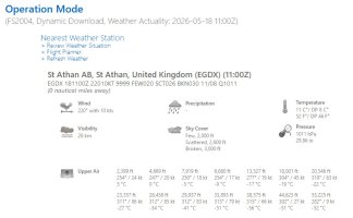
Time: 10:00
Fuel 101 gallons (41%)
Weather:
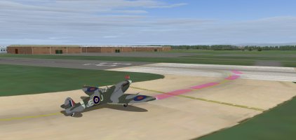
We are cleared to hold at rwy 26
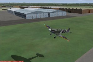
Just about getting used to the opposite torque from the Griffon, but a gusty wind today is ganging up against me:
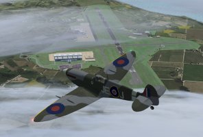
We have to do a 160º turn to get on our heading and are passing over cardiff airport then Cardiff city:
Heading up the Severn Estuary. I have time to get settled at a comfortable 2000 RPM and manifold pressure of 38 at 2500 ft. producing a speed of 168 kts.
Coming up to the two bridges:
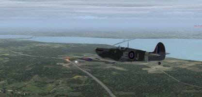
We have turned to a 150º heading and are passing Filton (EGTG), it was the home of Concorde now operated by BAe Systems:
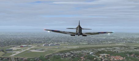
Turned onto a more westerly course as we skirt Bristol International visible off our wing in the distance:
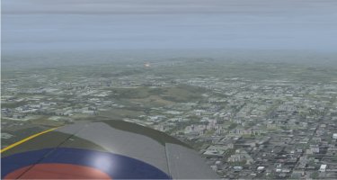
Leg 7 St. Athan (EGDX) to RAF St. Mawgan / Newquay Cornwall Airport (EGDG)
FS9 and FS Global Real Weather
PART 1
Time: 10:00
Fuel 101 gallons (41%)
Weather:
We are cleared to hold at rwy 26
Just about getting used to the opposite torque from the Griffon, but a gusty wind today is ganging up against me:
We have to do a 160º turn to get on our heading and are passing over cardiff airport then Cardiff city:
Heading up the Severn Estuary. I have time to get settled at a comfortable 2000 RPM and manifold pressure of 38 at 2500 ft. producing a speed of 168 kts.
Coming up to the two bridges:
We have turned to a 150º heading and are passing Filton (EGTG), it was the home of Concorde now operated by BAe Systems:
Turned onto a more westerly course as we skirt Bristol International visible off our wing in the distance:
ScottishMike1
Members +
18th. May 2026
Leg 7 St. Athan (EGDX) to RAF St. Mawgan / Newquay Cornwall Airport (EGDG)
FS9 and FS Global Real Weather
PART 2
Heading west along the south shore of the Bristol Channel or the North Coast of Devon if you prefer. The weather has turned turbulent and overcast at 2000'. We have to descend to 1700’ to get below the overcast:
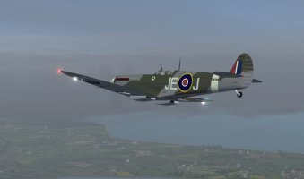
Visibility has improved as we climb to 2000’ to pass Dunkery Hill (1702’) on our left:
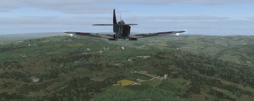
Slight turn south as we head for Chivenor (EGDL), we give them a 1000’ fly past:
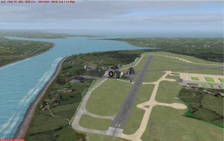
A long stretch on 224º heading for RAF St. Mawgan the military side or Newquay Cornwall Airport the civilian side.
Making a curved approach for rwy 31 as approved by ATC:
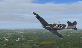
A bit fast so I burn off speed before touch down; it’s a good job it’s a long runway:
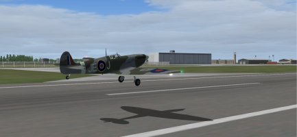
A long way from the numbers but down safely with a view of the civilian side on our right. We are directed to park at the new civilian terminal:
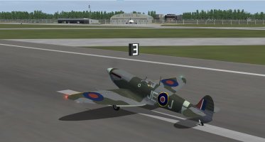
The military area is on our left:
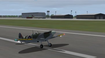
Guided to our parking spot and close down:
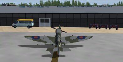
The passengers boarding the Ryanair flight will get a good view of us:
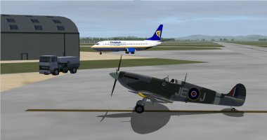
Flight time: 1hr 4 mins.
42 gallons used.
Leg 7 St. Athan (EGDX) to RAF St. Mawgan / Newquay Cornwall Airport (EGDG)
FS9 and FS Global Real Weather
PART 2
Heading west along the south shore of the Bristol Channel or the North Coast of Devon if you prefer. The weather has turned turbulent and overcast at 2000'. We have to descend to 1700’ to get below the overcast:
Visibility has improved as we climb to 2000’ to pass Dunkery Hill (1702’) on our left:
Slight turn south as we head for Chivenor (EGDL), we give them a 1000’ fly past:
A long stretch on 224º heading for RAF St. Mawgan the military side or Newquay Cornwall Airport the civilian side.
Making a curved approach for rwy 31 as approved by ATC:
A bit fast so I burn off speed before touch down; it’s a good job it’s a long runway:
A long way from the numbers but down safely with a view of the civilian side on our right. We are directed to park at the new civilian terminal:
The military area is on our left:
Guided to our parking spot and close down:
The passengers boarding the Ryanair flight will get a good view of us:
Flight time: 1hr 4 mins.
42 gallons used.
EGHI>EGQS (inclusive)
Back in the corner of the hanger sat the Sea Fury and a close relative ... the Tempest. Having flown the Mk.ll only a few times how hard could it be ... and a Hawker in the mix for the commemorative seemed appropriate. With an early departure, and anticipating that with the Tempest (as with the Sea Fury) things could happen quickly ... I took it pretty easy.
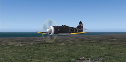
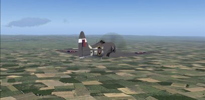
Soon the course and altitude were set and the Tempest was lumbering along at 190 kts over the towns and countryside below. In checking off the waypoints one by one my planned fuel stop (and show and tell) at Coningsby AB (EGXC) soon was on the horizon. The landing was nothing to be proud of but no one seemed to notice.
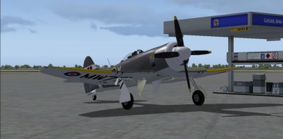
The folks at the base were great (although I think they had hoped to see another Spitfire) and seemed pretty interested in the MK.ll. Just short of an hour I replenished the thermos ... picked up a couple donuts and was off to the next waypoint.
It was close to noon (just in time for lunch) when the Tempest lined up on R23 and landed at Lossiemouth. Again ... there was a nice group on hand to welcome the Hawker after which lunch was served (timing is everything).
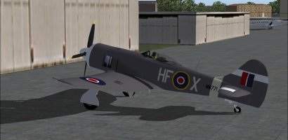
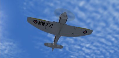
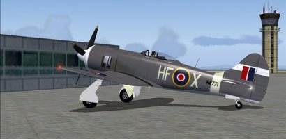
Back in the corner of the hanger sat the Sea Fury and a close relative ... the Tempest. Having flown the Mk.ll only a few times how hard could it be ... and a Hawker in the mix for the commemorative seemed appropriate. With an early departure, and anticipating that with the Tempest (as with the Sea Fury) things could happen quickly ... I took it pretty easy.
Soon the course and altitude were set and the Tempest was lumbering along at 190 kts over the towns and countryside below. In checking off the waypoints one by one my planned fuel stop (and show and tell) at Coningsby AB (EGXC) soon was on the horizon. The landing was nothing to be proud of but no one seemed to notice.
The folks at the base were great (although I think they had hoped to see another Spitfire) and seemed pretty interested in the MK.ll. Just short of an hour I replenished the thermos ... picked up a couple donuts and was off to the next waypoint.
It was close to noon (just in time for lunch) when the Tempest lined up on R23 and landed at Lossiemouth. Again ... there was a nice group on hand to welcome the Hawker after which lunch was served (timing is everything).
Last edited:
bosspecops
Members +
That's a view I've seen for real a few times recently as my new home is right under the flightpath from Sywell to Duxford. The world's only flying Tempest II (I think....) is based at Sywell and does that flight now and then. The Centaurus makes a very distinctive, and un-Merlin like, sound!
bosspecops
Members +
Leg 02 (Part 1)
After a bunch of power cuts here, for real, I at last managed to fly Leg 02 for this Tour.
Flying FSX and Active Sky, with the excellent Just Flight Photo real scenery, I decided to switch to the Just Flight Spitfire Vb for this leg, this one coded RS-T, which was flown by Wg. Cdr. Robert Stanford-Tuck during WWII., thus the codes.
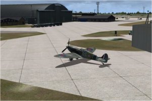
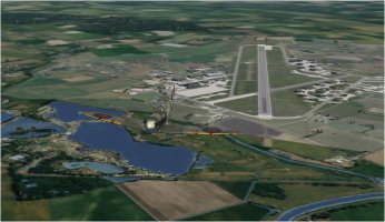
With the wind as it was I had to take-off on the long 25 runway, and of course I was parked at the opposite end. It's a LONG way to taxi a Spitfire and was keeping a keen eye on the coolant temp. on the way to the threshold. Needless to say I was airborne well before the half-way point on the runway, and climbing away nicely. Coningsby's a BIG place seen from above!
The Just Flight Mk Vb is very nicely put together, and the cockpit is superb, but for some reason the gauges don't show their readings if you 'hover' the cursor over the gauge. That meant I had to zoom in to read the boost pressure and fuel state every now and then. Shift-Z gave me the flight performance figures OK though.
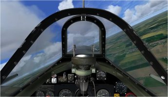
Just after making the almost 180 degree turn to get on track I noticed a old airfield over to my right and that twigged a memory, as only two days ago it was the 83 rd anniversary of 617 Sqdn's raid on the Ruhr dams, and they were based at RAF Woodhall Spa after the dams raid. Woodhall Spa was the old airfield I spotted, much of it under water these days from the look of the scenery.
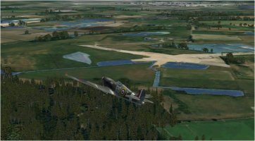
This being the East Anglia area of the UK, there isn't a single spot in the area where you CAN'T see the site of an RAF airfield, either current or abandoned, from this altitude and a little further on I flew almost o'head RAF Bardney, last used as a base for the Thor IRBMs in the late 50s and early 60s.
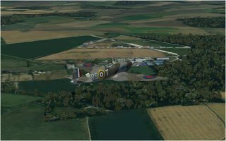
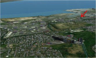
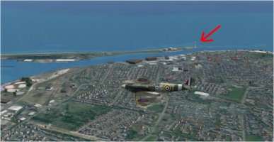
Holding an altitude of 2000 ft to ensure good views of the amazing scenery package, and cruising at 225 kts, just clear of the red band of the boost gauge, I was soon approaching the Humber Estuary and passing Grimsby on my right. That town held good memories for me as a previous lady friend lived there, in a massive ex-warehouse building that had been turned into flats (apartments for American readers....) and I've arrowed that block, the scenery is THAT good.
The next section of the flight was out over the North Sea for a few miles and here I am turning onto that track.
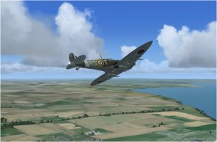
This coast of the UK has a number of holiday resorts, even this far north, and one of the most popular is Scarborough in Yorkshire, England's largest county. Scarborough is wall-to-wall hotels when you're going around the town, and also has some impressive cliffs, both north and south of the town centre. I managed to pass directly o'head the centre, so I hope the holiday makers appreciated that.
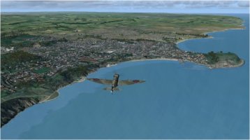
This coast has many rivers emptying into the North Sea, and my flight was passing estuary after estuary, this one being that of the River Tees, one of the major rivers in this area.
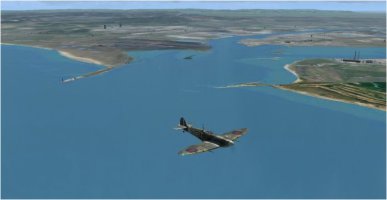
And a little further north I passed the mouth of the Tyne, the Tees' 'big brother', and which passes Newcastle, one the major cities in these parts. The locals call it 'The Toon', which only sounds right if you say it in a Geordie accent.
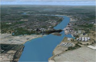
I've run out pic space for this posting now, and my flight will continue in part 2
After a bunch of power cuts here, for real, I at last managed to fly Leg 02 for this Tour.
Flying FSX and Active Sky, with the excellent Just Flight Photo real scenery, I decided to switch to the Just Flight Spitfire Vb for this leg, this one coded RS-T, which was flown by Wg. Cdr. Robert Stanford-Tuck during WWII., thus the codes.
With the wind as it was I had to take-off on the long 25 runway, and of course I was parked at the opposite end. It's a LONG way to taxi a Spitfire and was keeping a keen eye on the coolant temp. on the way to the threshold. Needless to say I was airborne well before the half-way point on the runway, and climbing away nicely. Coningsby's a BIG place seen from above!
The Just Flight Mk Vb is very nicely put together, and the cockpit is superb, but for some reason the gauges don't show their readings if you 'hover' the cursor over the gauge. That meant I had to zoom in to read the boost pressure and fuel state every now and then. Shift-Z gave me the flight performance figures OK though.
Just after making the almost 180 degree turn to get on track I noticed a old airfield over to my right and that twigged a memory, as only two days ago it was the 83 rd anniversary of 617 Sqdn's raid on the Ruhr dams, and they were based at RAF Woodhall Spa after the dams raid. Woodhall Spa was the old airfield I spotted, much of it under water these days from the look of the scenery.
This being the East Anglia area of the UK, there isn't a single spot in the area where you CAN'T see the site of an RAF airfield, either current or abandoned, from this altitude and a little further on I flew almost o'head RAF Bardney, last used as a base for the Thor IRBMs in the late 50s and early 60s.
Holding an altitude of 2000 ft to ensure good views of the amazing scenery package, and cruising at 225 kts, just clear of the red band of the boost gauge, I was soon approaching the Humber Estuary and passing Grimsby on my right. That town held good memories for me as a previous lady friend lived there, in a massive ex-warehouse building that had been turned into flats (apartments for American readers....
) and I've arrowed that block, the scenery is THAT good.The next section of the flight was out over the North Sea for a few miles and here I am turning onto that track.
This coast of the UK has a number of holiday resorts, even this far north, and one of the most popular is Scarborough in Yorkshire, England's largest county. Scarborough is wall-to-wall hotels when you're going around the town, and also has some impressive cliffs, both north and south of the town centre. I managed to pass directly o'head the centre, so I hope the holiday makers appreciated that.
This coast has many rivers emptying into the North Sea, and my flight was passing estuary after estuary, this one being that of the River Tees, one of the major rivers in this area.
And a little further north I passed the mouth of the Tyne, the Tees' 'big brother', and which passes Newcastle, one the major cities in these parts. The locals call it 'The Toon', which only sounds right if you say it in a Geordie accent.
I've run out pic space for this posting now, and my flight will continue in part 2
bosspecops
Members +
Leg 02 (Part 2)
A short distance north from the Tyne I passed over the coastal town of Blyth, and one of the industries here manufactures wind turbines, and you can see one of their test turbines mounted on the outer harbour wall. In the real world there are many more turbines sticking out of the sea just offshore, and I used to go to that turbine factory to install and maintain their enormous test rigs!
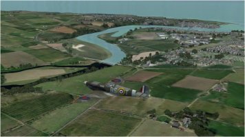
Next waypoint was the border town of Berwick-on-Tweed, which is actually all in England, although many people think it straddles the Scottish-English border. The real border is a mile or so north of the River Tweed though, not that you'd notice it as there are no control points or anything like that, just signs at the side of the road or railway track.
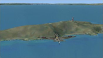
Flying further into Scotland I soon came to the largest estuary on this coast, that of the River Forth, known as the Firth of Forth here. In theory I should have crossed the Firth to head directly towards Leuchars, but the temptation to do some 'Bridge Ducking' was too great, so I turned west and dropped down to 500 ft or so, heading toward the three Forth Bridges. This is a small island, Inchkeith, in the middle of the Firth, and which only has a a Lighthouse on it, for obvious reasons of course.
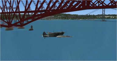
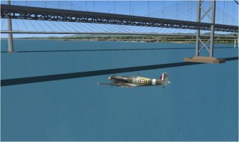
After that I dropped down to around 50 ft off the water as the bridges came into sight, the first one being the ENORMOUS Forth Railway Bridge, built in 1890 to take the line from Edinburgh to Aberdeen across the Firth. I have a connection with that bridge too as in 1970 I was working for British Rail and we tested the bridge to ensure it was strong enough for 100 ton wagons. Yes, really. Needless to say it was so strong that they could have left about 70% of it behind when they built it and it would still have been strong enough!
There was lots of space to fly under it of course.
And a short distance away was the first Forth Road Bridge, built in 1964 to avoid a huge detour out to the west to cross the Forth. Maintaining my 50 ft altitude was relatively easy, and I was soon going under that one too.
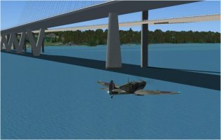
Not being one to quit when I'm ahead, I kept right on to go under the second road bridge, the Queensferry Crossing, to complete the 'Bridge Duck' triple. For some reason my scenery has TWO Queensferry Crossings and I'll try and figure out why later today. It does look a bit odd in this pic though.
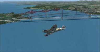
Climbing up to a more sensible altitude, and turning north east toward Leuchars, gave me a good view of all FOUR bridges over my right shoulder...........
After a very short while I was approaching Leuchars for landing, but I got a call from their Tower asking me if I could make a fast low pass down their main runway, which wasn't the one I was intending to use for my landing......
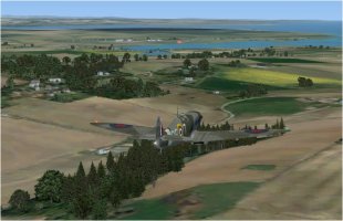
ATC ASKING me to make a low pass? What was all that about, eh?
More in part 3.
A short distance north from the Tyne I passed over the coastal town of Blyth, and one of the industries here manufactures wind turbines, and you can see one of their test turbines mounted on the outer harbour wall. In the real world there are many more turbines sticking out of the sea just offshore, and I used to go to that turbine factory to install and maintain their enormous test rigs!
Next waypoint was the border town of Berwick-on-Tweed, which is actually all in England, although many people think it straddles the Scottish-English border. The real border is a mile or so north of the River Tweed though, not that you'd notice it as there are no control points or anything like that, just signs at the side of the road or railway track.
Flying further into Scotland I soon came to the largest estuary on this coast, that of the River Forth, known as the Firth of Forth here. In theory I should have crossed the Firth to head directly towards Leuchars, but the temptation to do some 'Bridge Ducking' was too great, so I turned west and dropped down to 500 ft or so, heading toward the three Forth Bridges. This is a small island, Inchkeith, in the middle of the Firth, and which only has a a Lighthouse on it, for obvious reasons of course.
After that I dropped down to around 50 ft off the water as the bridges came into sight, the first one being the ENORMOUS Forth Railway Bridge, built in 1890 to take the line from Edinburgh to Aberdeen across the Firth. I have a connection with that bridge too as in 1970 I was working for British Rail and we tested the bridge to ensure it was strong enough for 100 ton wagons. Yes, really. Needless to say it was so strong that they could have left about 70% of it behind when they built it and it would still have been strong enough!
There was lots of space to fly under it of course.
And a short distance away was the first Forth Road Bridge, built in 1964 to avoid a huge detour out to the west to cross the Forth. Maintaining my 50 ft altitude was relatively easy, and I was soon going under that one too.
Not being one to quit when I'm ahead, I kept right on to go under the second road bridge, the Queensferry Crossing, to complete the 'Bridge Duck' triple. For some reason my scenery has TWO Queensferry Crossings
and I'll try and figure out why later today. It does look a bit odd in this pic though.Climbing up to a more sensible altitude, and turning north east toward Leuchars, gave me a good view of all FOUR bridges over my right shoulder...........
After a very short while I was approaching Leuchars for landing, but I got a call from their Tower asking me if I could make a fast low pass down their main runway, which wasn't the one I was intending to use for my landing......
ATC ASKING me to make a low pass? What was all that about, eh?
More in part 3.
bosspecops
Members +
Leg 02 (Part 3)
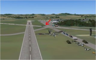
I headed out to the east to get a decent run-in for my low pass, and once I'd aligned myself with the runway it was obvious that something special was going on. There were aircraft parked all over the place, many of them not RAF types, and there were LOADS of people there too ! It seems I'd blundered into an Air Show, no wonder they wanted a Spitfire to do a low pass. There was no way I'd be able to land on my original runway as not only were the spectators standing all over it, but there was one large, black aircraft sat right ON it.
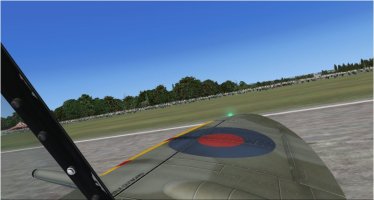
Turning downwind, and then the usual Spitfire curved base leg got me lined up with the 26 runway and I plonked RS-T down reasonably well, and taxied all the way to the west end, boggling at the crowds as I went. ATC asked to wave, as the crowd expected that sort of thing!
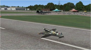
Passing the intersection I could see the large black aircraft was a Lockheed SR-71 Blackbird, of all things!
And even more surprising, after turning onto the ramp at the west end, were the Blue Angels F-18s!! I was in exalted company for sure.
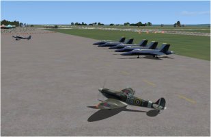
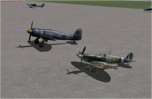
Feeling I had to keep the RAF's presence to the fore, I didn't park next to the Angels, but turned to my left and stopped right alongside another piston engined masterpiece, a Hawker Sea Fury, presumably from the Fleet Air Arm's Historic Flight.
So that was Leg 02 done and dusted at last, my revised distance was some 267 nms, and it took me 1 hr 30 mins giving me an average speed of
178 kts, probably because of slowing down to drop under the Bridges. I used 63 galls of AVGAS, which wasn't too bad, and bode well for further legs.
I'll try another Spitfire type on the next leg I think, and I have a quite large number to chose from.
I headed out to the east to get a decent run-in for my low pass, and once I'd aligned myself with the runway it was obvious that something special was going on. There were aircraft parked all over the place, many of them not RAF types, and there were LOADS of people there too ! It seems I'd blundered into an Air Show, no wonder they wanted a Spitfire to do a low pass. There was no way I'd be able to land on my original runway as not only were the spectators standing all over it, but there was one large, black aircraft sat right ON it.
Turning downwind, and then the usual Spitfire curved base leg got me lined up with the 26 runway and I plonked RS-T down reasonably well, and taxied all the way to the west end, boggling at the crowds as I went. ATC asked to wave, as the crowd expected that sort of thing!
Passing the intersection I could see the large black aircraft was a Lockheed SR-71 Blackbird, of all things!
And even more surprising, after turning onto the ramp at the west end, were the Blue Angels F-18s!! I was in exalted company for sure.
Feeling I had to keep the RAF's presence to the fore, I didn't park next to the Angels, but turned to my left and stopped right alongside another piston engined masterpiece, a Hawker Sea Fury, presumably from the Fleet Air Arm's Historic Flight.
So that was Leg 02 done and dusted at last, my revised distance was some 267 nms, and it took me 1 hr 30 mins giving me an average speed of
178 kts, probably because of slowing down to drop under the Bridges. I used 63 galls of AVGAS, which wasn't too bad, and bode well for further legs.
I'll try another Spitfire type on the next leg I think, and I have a quite large number to chose from.
Melo965
Members +
On his last WWII mission when his aircraft was shot down, and he was taken prizoner. - He was flying low down a valley and there just happened to be a German heavy gun emplacement on the other end of the valley that was firing on his Spitfire at the same level and at very close range. His aircraft was not blown to bits only because one of his bullets went down the barrel of the German gun and disabled it.this one coded RS-T, which was flown by Wg. Cdr. Robert Stanford-Tuck during WWII.
The SrG and T_K Spit Tour Adventure: Flight 7
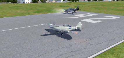
We couldn't find any freeware Pilatus PC-21s anywhere so Rob flew Piglets A-29B again while I remained in the Seafire.
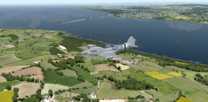
We crossed the Bristol Channel/Severn Estuary by the old M4 bridge which I have crossed several times in real life.
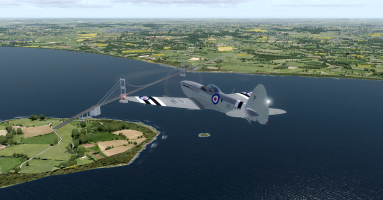
The new bridge is much longer and across a wider part of the waterway.
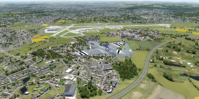
We over-flew the famous Filton Airport which was the birthplace of several famous aircraft including the Bristol Brabazon and the Concorde!
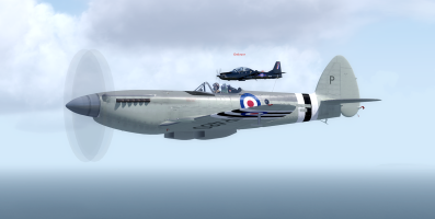
This pair were well matched and easy to fly in formation (unlike some of the others).
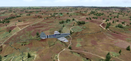
Exmoor was looking rather bleak and barren in early May but at least it wasn't fogged in and misty like it usually is.
The next port of call was RAF Chivenor where I was lucky enough to spend a week as an ATC Cadet in the early 70s and that was the first time I flew aerobatics in a Chipmunk. That was also where I spent a day waxing and polishing a bright red Hawker Hunter to get it ready for an airshow at the base the day we left so although I spent a whole day polishing it I never got to see it perform in the show!
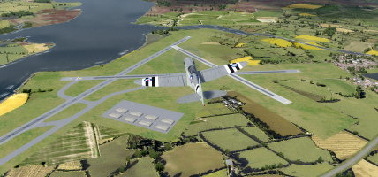
The final stop was at RAF St. Mawgan in Cornwall where we did a fly-over before getting set up for the landing.
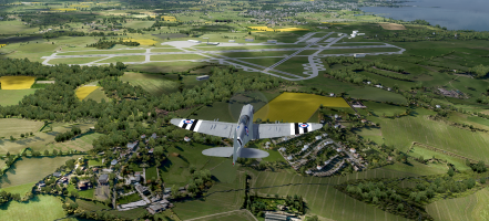
A left-base curved approach was required so that I could keep the runway in sight ...............
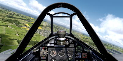
....... followed by a smooth two-point landing.
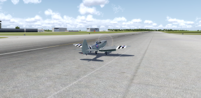
I am getting the hang of the Seafire now and rarely bounce down the runway like I'm on a demented pogo-stick anymore! (Cue chorus of "You can teach monkeys to fly better than that!") IFKYKOK
We couldn't find any freeware Pilatus PC-21s anywhere so Rob flew Piglets A-29B again while I remained in the Seafire.
We crossed the Bristol Channel/Severn Estuary by the old M4 bridge which I have crossed several times in real life.
The new bridge is much longer and across a wider part of the waterway.
We over-flew the famous Filton Airport which was the birthplace of several famous aircraft including the Bristol Brabazon and the Concorde!
This pair were well matched and easy to fly in formation (unlike some of the others).
Exmoor was looking rather bleak and barren in early May but at least it wasn't fogged in and misty like it usually is.
The next port of call was RAF Chivenor where I was lucky enough to spend a week as an ATC Cadet in the early 70s and that was the first time I flew aerobatics in a Chipmunk. That was also where I spent a day waxing and polishing a bright red Hawker Hunter to get it ready for an airshow at the base the day we left so although I spent a whole day polishing it I never got to see it perform in the show
!The final stop was at RAF St. Mawgan in Cornwall where we did a fly-over before getting set up for the landing.
A left-base curved approach was required so that I could keep the runway in sight ...............
....... followed by a smooth two-point landing.
I am getting the hang of the Seafire now and rarely bounce down the runway like I'm on a demented pogo-stick anymore! (Cue chorus of "You can teach monkeys to fly better than that!") IFKYKOK

lucb
SOH-CM-2026
@Tako_Kichi what is your simulator? Country and airplanes look really good