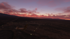
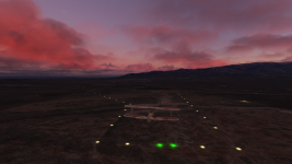
Our first attempt to scenery creation.
https://flightsim.to/file/32132/1926-airway-route-cam5
Bare bones navigation from the dawn of commercial aviation…
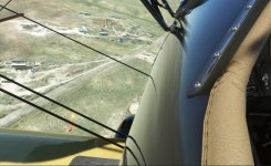
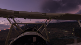
Flying really low and slow in all weathers, day and night, no autopilot required…
Following in the slipstream of Leon D. Cuddeback & Elrey B. Jeppesen…
If this sounds like your kind of flying, then we might have something for you.
Inspired by a discussion on a MSFS forum thread we have been recreating an original US Air Mail airway for the sim.
In 1926 the US Postal Service & Department of Commerce began contracting air mail routes that would eventually criss-cross the USA.
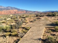
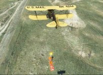
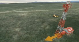
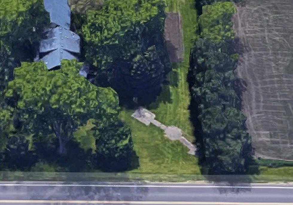
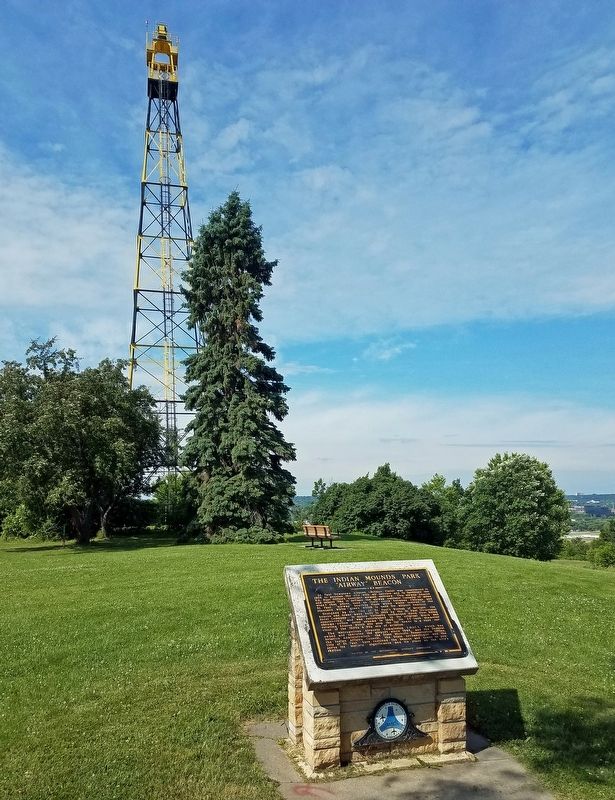
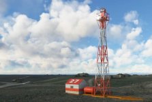
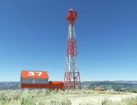
Each route was marked approximately every 10 miles by a path of 51' long yellow concrete arrows with flashing rotating beacons mounted on 51’ towers, interspersed with landing fields.
The beacons have a generator shed and a fuel tank, and the Airway and Beacon number on the roof of the shed. The arrow points in the general direction of where the next beacon is.
Some surviving arrows are visible on Bing Maps, meaning that they are also visible in the sim, if you know where to look.
So, we have decided to recreate the whole 485 mile Contract Air Mail 5 (CAM5) route from Salt Lake City UT to Pasco WA, using original maps and research by aviation historians.
The route is mapped, 51 individually numbered beacon sites have been built to scale, with a animated rotating beacon, positioned precisely using the original sectionals & surviving remains.
If you want to find out more about the airway system, then these sites are a great place to get started:
Arrows Acros America
thesurveystation
And for an account of how low you need to go to fly the mail check this interview with Elrey Jeppesen
Jeppesen interview
See you on the Airway!
A flightplan for the whole CAM#5 route is included in folder. To be able to select in MSFS, copy it here:
C:\Users\Gebruiker\AppData\Local\Packages\Microsoft.FlightSimulator_8wekyb3d8bbwe\LocalState
Also the native LittleNavMap file is the forde. Copy that file into your LNM installation folder.
Acknowledgements notes and disclaimers:
Thanks to my wife, who helped with decal textures.
Thanks to the FS developer forum, especially rhumbaflappy, for his solution to place beacons.
Thanks to the youtube videos from Flying Theston, Federico Pinotti, MyPhysical World, helping with understanding Blender and the MSFS SDK.
Textures and effects are stock MSFS, used for these models. The beacons, inspite of carefull placement, can be off position, which is some kind of MSFS glitch.
Also, just before beacon 10, the beacon flashes stop, you can hold your course and pretend the light is out. When you reach beacon 11, all is good again, and you can see beacon 12 and later also beacon 13 flash in the distance. I need to figure this out, but at the moment it is the way it is.
For best results, if you have it installed, turn Puffin VFR Region 2 off (eg using Addon Linker). The new masts are often in the location of the old Airway Beacons. Those surveyors in the old days knew their trade well.
Legal Stuff
This scenery is released as FREEWARE. You may use it for your personal enjoyment, but you may NOT use it in any kind of money-making endeavor, you may NOT modify it and you may NOT publicly distribute any copies of it, whether modified or not, without my permission.
Rob Cappers

 )?
)?
