1926 Airmail Route CAM5 Salt Lake - Pasco

Strevell ILF update

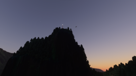
[FONT=&quot]@Robcap has been hard at work battling the lighting system for our Strevell Intermediate Landing Field and we think it is paying off - still very much work in progress but Varney Air Lines airmail pilots will soon have a new place to land.

[/FONT]

[FONT=&quot]
b680150c2d4b9c529d3ab6f993fda4c55e9df0c5_2_690x388.jpeg
[/FONT]

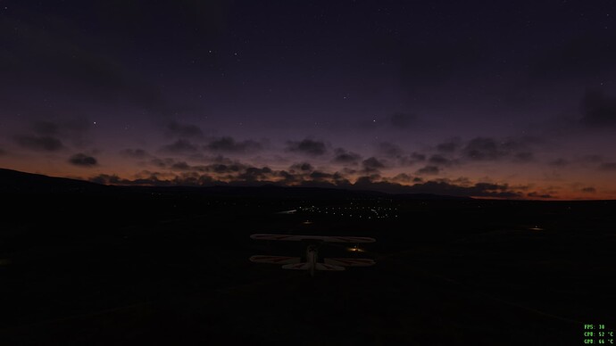
[FONT=&quot]Approaching Strevell from the south east

[/FONT]

[FONT=&quot]
e46d35f0409c0e88e2da99f1445d8b14022ab4e3_2_690x388.jpeg
[/FONT]

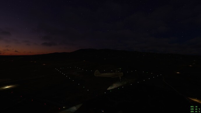
[FONT=&quot]The field laid out

[/FONT]

[FONT=&quot]
becb4e86f9bef66055ee41f512268e0090f38ba8_2_690x388.jpeg
[/FONT]

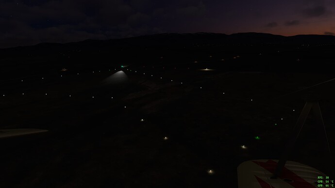
[FONT=&quot]White boundary lights, Green approach lights and Red obstruction warning lights

[/FONT]

[FONT=&quot]
a509b7401a11a08545fb2cb33e8921015f947062_2_690x388.jpeg
[/FONT]

[FONT=&quot]One of the white boundary lights

[/FONT]

[FONT=&quot]
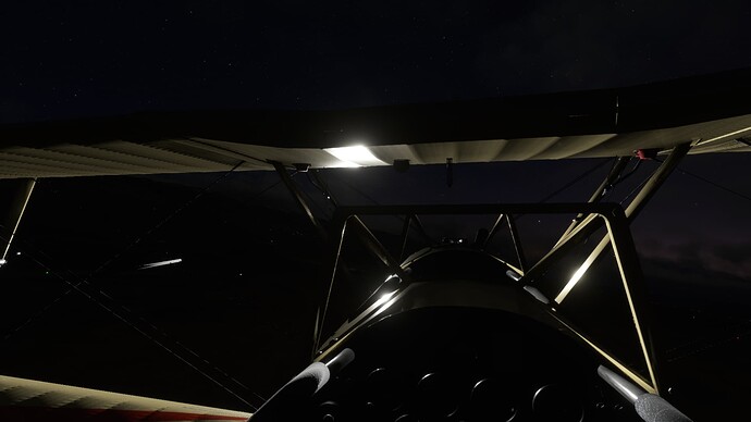
d590f23c09272bf38fcc945dc7e711f5b1c77dec_2_690x388.jpeg
[/FONT]

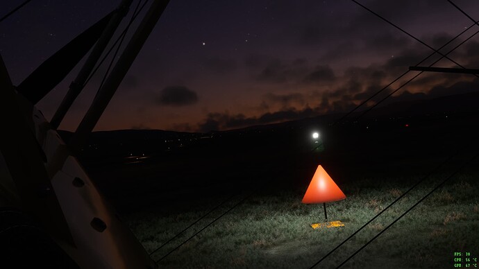
[FONT=&quot]Night departure[/FONT]
 
Arrows Across America Update

After a summer break we are working on a major update to the Arrows Across America airmail project. The next release will include:
- improved models and lighting
- three Intermediate Landing Fields (ILFs) on the CAM5 route from Salt Lake City to Pasco
- the complete CAM32 route from Portland to Spokane, via Pasco, including three more iLFs

CAM32 runs through the Colombia River Gorge, east of Portland. The lighting on that twenty-five mille stretch of the route was designed to enable the airmail pilots to fly under the fog that frequently blankets the top of the gorge, at an altitude of less than 250' AGL

We hope that ongoing improvements to weather and turbulence will create additional challenges for you in flying that part of CAM32!

In the meantime, some work in progress images

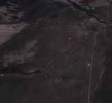
CAM5 Locomotive Springs ILF.png
CAM5 Locomotive Springs ILF, Utah

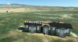
CAM5 Strevell House.png
CAM5 Mary's Cafe, next to Strevell ILF, Idaho

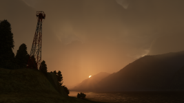
Colombia River Gorge.png
CAM32 Colombia River Gorge beacon

CAM32 Beacon Rock 2.png
CAM32 Beacon Rock, Colombia River Gorge

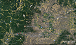
CAM32 Route.png
CAM32 route map

We currently expect our third release to include CAM18 from Portland to Seattle, completing Varney Airlines' airmail routes. This will enable you to fly for over thousand miles from Salt Lake City through the Pacific North West, navigating solely by arrow and beacon.
 
Last edited:
Now I'll have to decide which plane I'm going to use on this route. Probably my WACO biplane.

Doing it in the Stearman. :) Is there any reason why all I am seeing at the markers is a flashing light? No arrows or buildings.

LouP
 
Doing it in the Stearman. :) Is there any reason why all I am seeing at the markers is a flashing light? No arrows or buildings.

LouP

You should definitely be seeing arrows and beacon towers. We are not aware of any issues from the recent updates, could you download the package again and see if that fixes it?
 
Sorry, problem was on my end. I needed to check off the box in add-on linker. However, now that its working, I noticed the scenery doesn't "snap" in until your almost on top of it.

LouP
 
Hi Lou, glad you got the first problem sorted. We are looking at the LODs for the next release but I will have a check of v1 at this end.
 
Arrows Across America v2 update is now available

The update for our 1926 US Air Mail routes add-on is now out and includes:


  • our original Contract Air Mail 5 (CAM5) route from Salt Lake City, UT to Pasco, WA but with new and improved models and lighting (59 beacons)
  • the CAM32 route from Portland, OR to Spokane, WA using the new models and lighting (33 beacons)
  • the additional lighting for CAM32’s 25 mile stretch through the Columbia River Gorge, east of Portland, with beacons positioned to allow air mail pilots to fly under the low cloud and fog that frequently blankets the gorge
  • the northernmost section of CAM8 from Portland, OR to Seattle, WA , using the new models (17 beacons)
  • eleven Intermediate Landing Fields (ILFs) along the airways; located, laid out and lit according to their descriptions in the official Airway Bulletins, making it possible to fly shorter sections of the CAMs (or land in an emergency)
  • Hangars with internal parking spaces and animated, controllable doors on four of the ILFs
  • terraforming and tree felling to ensure that arrows and beacons are visible in the modern landscape
  • .pln files for use within MSFS and with Little Nav Map and other flight planning software
  • a CSV file for building your own flight plans
  • KMZ reference files for each of the routes
  • a 32 page illustrated manual with information about the CAM system and the air mail pilots, the different elements of the addon, suggestions of what to fly, links to the original sectional and strip maps and the 1931 weather overviews for the states we cover

All three routes are provided as a single file so you can fly uninterrupted along the three airways airways between Salt Lake City, Portland, Seattle and Spokane.

You can download the update from our flightsim.to page - https://flightsim.to/file/32132/1926-airway-route-cam5

We also have Arrows Across America liveries for the DC Designs Stearman available at https://flightsim.to/file/45156/stea...arney-air-mail

We look forward to hearing what you think.
 
I love the project! Looking forward to flying the updated route over the holidays! Doing the Columbia River at night in real-world weather sounds thrilling.
 
I love the project! Looking forward to flying the updated route over the holidays! Doing the Columbia River at night in real-world weather sounds thrilling.

Thanks, and look forward to hearing how you find it. Having tried to run the gorge in snow and fog, it can also be terrifying!
 
This is so great! Thanks so much.

Yesterday with live weather the attempt to Pasco from Portland got just too tough by the time I got to the Gorge. Sure helps to appreciate what these early mail pilots had to take on.

cheers,
steve :wavey:
 
This is so great! Thanks so much.

Yesterday with live weather the attempt to Pasco from Portland got just too tough by the time I got to the Gorge. Sure helps to appreciate what these early mail pilots had to take on.

cheers,
steve :wavey:

Thanks, and good to hear you are enjoying it. Hope you were able to put down at the Rufus ILF to wait out the weather!
 
Version 2.1 update:
It seems there was an issue with our services files. This is an Asobo MSFS issue.
It disables services on a global scale, including glider tows.
We looked into it, and compiled an update. Please download and install this latest version, 2.1 It completey replaces version 2.0.
Delete the 2.0 version from your Comunity folder, before installing this update.


Get it here: Arrows Across America: fly the US Air Mail routes 1926 » Microsoft Flight Simulator

Also, there is a nice trailer online, and hopefully more video's of the route from Salt-Lake City to Seatle will follow.
 
Back
Top