falcon409
SOH-CM-2026
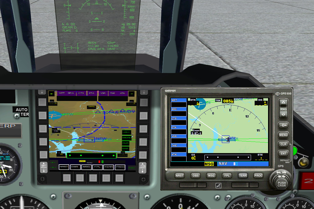
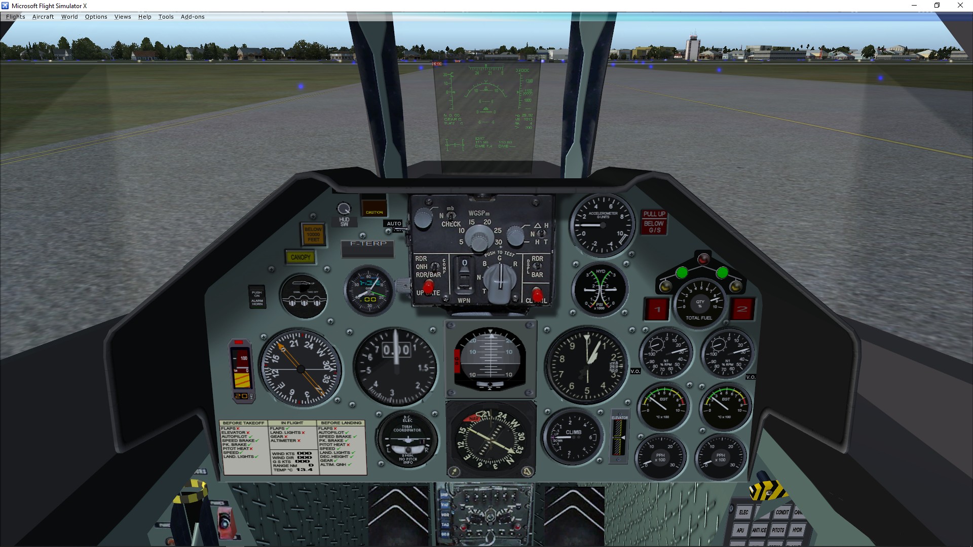
Does anyone know why the standard GPS (or any GPS actually) when used as a pop-up has a crisp, easy-to-read display, but if that same GPS is used as a component in the VC it becomes almost unreadable? I understand that this is not always the case, but many times it is a problem and so I'm curious to see if there is a way to correct it. . .or it's just the way it is with certain airplanes.