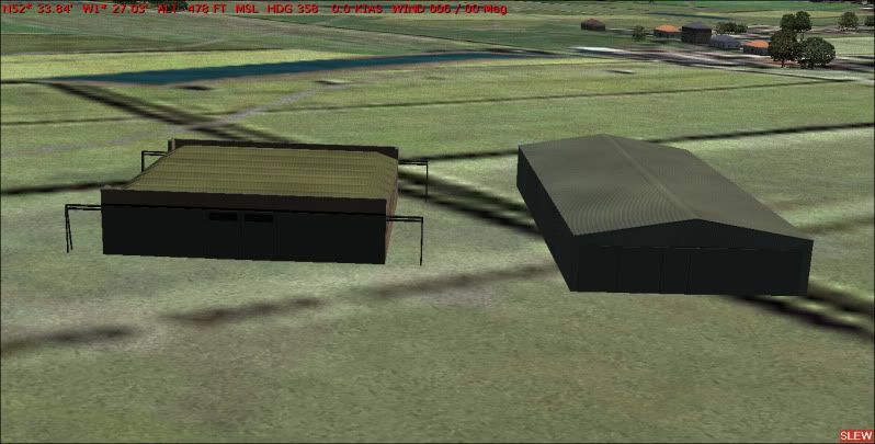
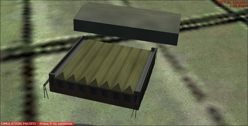
Yep!....and Yep!
Lost me! But that is not difficult these days!
I have seen some sceneries that authors say were created from images from Google Earth and such.
Do they really mean that they looked, saved an image and then created the scenery by modeling the image, OR, is there a program that converts images into bgl files?
They probably mean both Sir. :salute:
It's very, very easy to download photoreal tiles directly from Google earth for fs9 and X and have them automatically installed in one go.
'FSEarthTiles' is the excellent freeware tool you'll need to download. Set it up, choose any area of the globe and how much of it that you wan't and press the button. Resolution ranges from mind boggling to ..____, depending on the material they supply for the particular location. You get a preview so you'll know beforehand.
I've often used textures directly from the snapshot capability within Google earth, then used them, after retouching, to replace fs textures I wasn't happy with. Particularly for jungle, forested, and tropical crop textures. The difference in fs can be stunning.
The same 'snapshot' method can bring life to airport textures - parking areas, grass, even runway texes.
Warning: There is a catch! You can legally download and use as much of this stuff your pc, freetime and patience can take, BUT; You may NOT legally share with others, publically at least.
Failure to heed this is at your own risk...folk do it all the time.
Personally, I'd hate to be
googled for breakfast!


