ZsoltB
Charter Member
I'm looking for the Mach Loop flightplan
Any idea?
http://www.youtube.com/watch?v=CsHQ4zOnPL0
Thank you!
Any idea?
http://www.youtube.com/watch?v=CsHQ4zOnPL0
Thank you!
Please see the most recent updates in the "Where did the .com name go?" thread. Posts number 16 and 17.
Please see this thread for updates. Update Thread
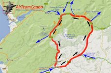
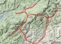
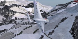
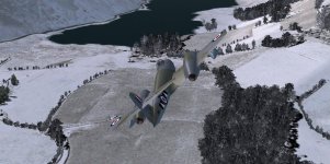
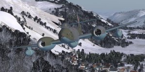
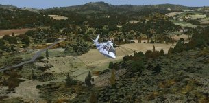
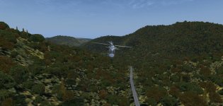
SOH ADMINISTRATION lace w:st="on"><st1lacename w:st="on">RAF</st1lacename> <st1lacetype w:st="on">Valley </st1lacetype></st1lace>on Anglesey North Wales, Head east and cross over the Menai strait you will see the Snowdonia mountains. Find the largest passage, you will fly over a lake,and your on your way (although in the films they actualy go the other direction). <o></o>lace w:st="on"><st1:country-region w:st="on">Wales</st1:country-region></st1lace> installed.<o></o>></o>
Has anyone not realised this thread is from 2012 and sprang into life again today??
ATB
DaveB
 Afterwards.