-
Please see the most recent updates in the "Where did the .com name go?" thread. Posts number 16 and 17.
You are using an out of date browser. It may not display this or other websites correctly.
You should upgrade or use an alternative browser.
You should upgrade or use an alternative browser.
P3D/P4D screenshots redux...oops!
- Thread starter gman5250
- Start date
RichardLouis
Members +
Golden Age Stearman C3B - Concrete arrows
I thus learned of the existence of these radio stations which guided pilots to their destination.
They have disappeared today, but some vestiges still exist.
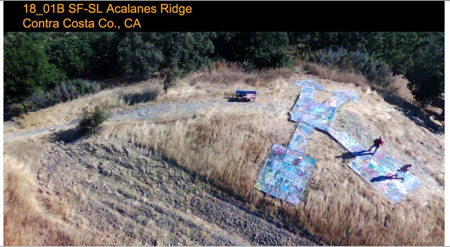
As evidenced by several concrete arrows that served as bases for infrastructure and indicated the direction to take.
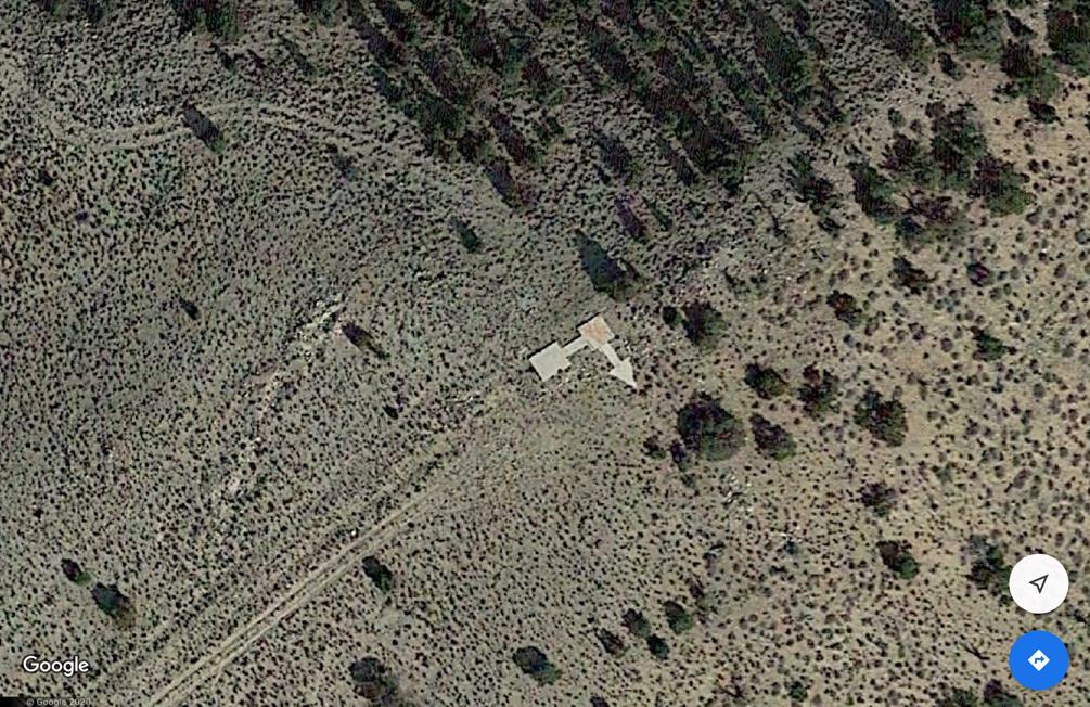
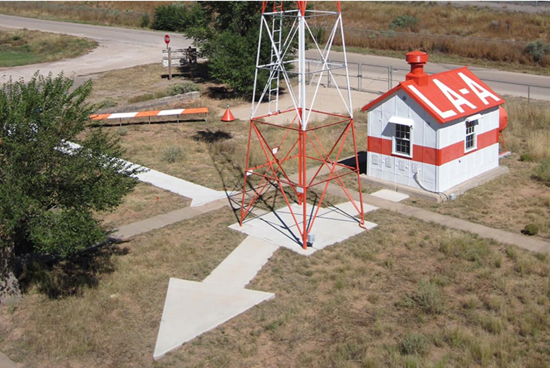
With TrueEarth sceneries, it is possible to spot some of them.
Here Acalanes Ridge station north of San Francisco.

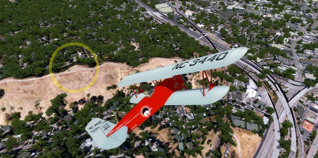
With this little plane I tried to learn more about the US air mail.
I thus learned of the existence of these radio stations which guided pilots to their destination.
They have disappeared today, but some vestiges still exist.
As evidenced by several concrete arrows that served as bases for infrastructure and indicated the direction to take.


With TrueEarth sceneries, it is possible to spot some of them.
Here Acalanes Ridge station north of San Francisco.


Bomber_12th
SOH-CM-2025
With this little plane I tried to learn more about the US air mail.
I thus learned of the existence of these radio stations which guided pilots to their destination.
They have disappeared today, but some vestiges still exist.
As evidenced by several concrete arrows that served as bases for infrastructure and indicated the direction to take.
There are quite a number of those arrows still in existence in the southwest. The last remaining of the arrows in the whole of the upper midwest is located just a few miles from my house and is in the front yard of a farm where the owners, probably back in the 60's or 70's, put in a basketball hoop at the base-end:
https://www.google.com/maps/place/A...b6662a3c71d565!8m2!3d44.8188933!4d-92.9117659
That particular arrow, which used to have a beacon, was the last of a long line of arrows/beacons that led air mail pilots into the Dowtown St. Paul Airport (today KSTP) on routes from Milwaukee and Chicago. The original beacon tower, erected near the St. Paul Airport in 1929, located within Indian Mounds Park, still stands and has been restored and painted in the original yellow/black scheme it originally had: https://upload.wikimedia.org/wikipedia/commons/4/42/Beacon_tower,_Indian_Mounds_Park.jpg
A couple of websites on the 1920's airway navigational arrows and beacons.
http://www.dreamsmithphotos.com/arrow/index.html
https://sometimes-interesting.com/2013/12/04/concrete-arrows-and-the-u-s-airmail-beacon-system/
RichardLouis
Members +
There are quite a number of those arrows still in existence in the southwest. The last remaining of the arrows in the whole of the upper midwest is located just a few miles from my house and is in the front yard of a farm where the owners, probably back in the 60's or 70's, put in a basketball hoop at the base-end:
https://www.google.com/maps/place/A...b6662a3c71d565!8m2!3d44.8188933!4d-92.9117659
That particular arrow, which used to have a beacon, was the last of a long line of arrows/beacons that led air mail pilots into the Dowtown St. Paul Airport (today KSTP) on routes from Milwaukee and Chicago. The original beacon tower, erected near the St. Paul Airport in 1929, located within Indian Mounds Park, still stands and has been restored and painted in the original yellow/black scheme it originally had: https://upload.wikimedia.org/wikipedia/commons/4/42/Beacon_tower,_Indian_Mounds_Park.jpg
A couple of websites on the 1920's airway navigational arrows and beacons.
http://www.dreamsmithphotos.com/arrow/index.html
https://sometimes-interesting.com/2013/12/04/concrete-arrows-and-the-u-s-airmail-beacon-system/
Thanks for these informations John.
Richard
CG_1976
Ret. US Coastie/RCAF
Got this link from my friend Former Mayor Oscar Goodman in relation to those Arrows https://www.mysterywire.com/mysteri...ocialflow&utm_source=t.co&utm_medium=referral.
gray eagle
SOH-CM-2026


Last edited:
gray eagle
SOH-CM-2026
RichardLouis
Members +
Boo Man Choo
NA P51 Mustang and TE Northern California. (Sky by Luminar 4). P3D V4.4
Richard


NA P51 Mustang and TE Northern California. (Sky by Luminar 4). P3D V4.4
Richard


dhazelgrove
Charter Member

Dave
gray eagle
SOH-CM-2026
Any ideas when ya going to turn this bad boy loose (release to public) or the green one with rivets or, do you intend to?

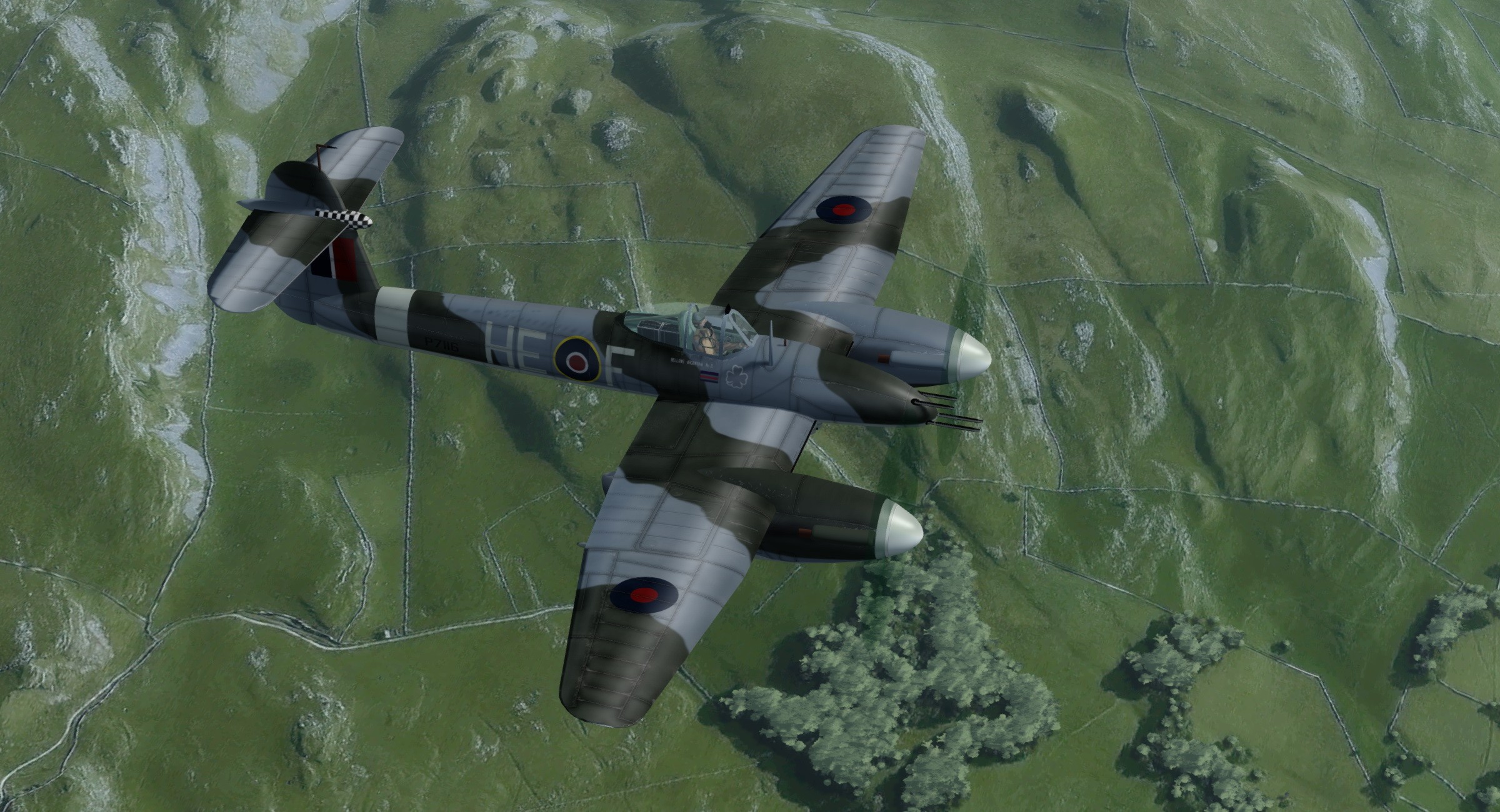
Westland Whirlwind Mk.I P7116 HE-F No.263 Squadron RAF 1942

What a great screen shot - lovely aircraft

Gavin


