Pat's Beaufighter Island Hops

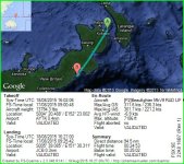
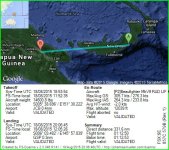
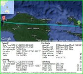
Well...it looks like the Duenna took a dive after I landed @ Jacquinot Bay. I guess I'll fly that one again.
 
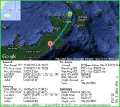
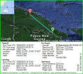
Made it to JCB...again...this time the Duenna worked.
The first jpg is from the failed Duenna...the second is the one that worked, along with the text file.
 

Attachments

  • FlightLog_09-27-00.TXT
    5.8 KB · Views: 0
  • FlightLog_09-27-00.JPG
    FlightLog_09-27-00.JPG
    79.1 KB · Views: 0
  • FlightLog_08-45-44.JPG
    FlightLog_08-45-44.JPG
    79.2 KB · Views: 0
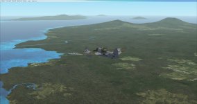
A few screenshots from the last couple of days.
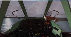
First one is just before stalling and ending up in the drink on approach to Suavanao (AGGV)
 

Attachments

  • Oops.jpg
    Oops.jpg
    55.4 KB · Views: 0
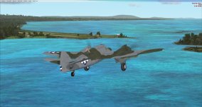
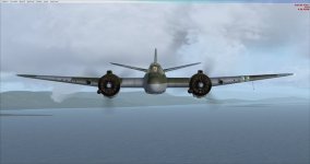
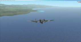
Here are a couple of shots between Munda and Tokua...no particular order...I just liked the views.
 

Attachments

  • 2015-8-17_17-15-49-308.jpg
    2015-8-17_17-15-49-308.jpg
    30.6 KB · Views: 0
  • Approaching Tokua.jpg
    Approaching Tokua.jpg
    46.3 KB · Views: 0
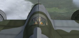
And of course, a shot of my observer, whom I've nicknamed Ralph, looking a bit green on the leg between AGGE and AYBK.
 

Attachments

  • Ralph.jpg
    Ralph.jpg
    31.3 KB · Views: 0
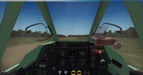
Made it into GSP...with a heart in the throat moment during landing. Who put that highway right in the middle of the runway?
Photo 1...The lorry coming at me full speed
Photo 2...Approaching Papua New Guinea
Photo 3...Leaving New Britain
 

Attachments

  • Lorry.jpg
    Lorry.jpg
    45.2 KB · Views: 0
  • APNG.jpg
    APNG.jpg
    28.2 KB · Views: 0
  • LNB.jpg
    LNB.jpg
    47.5 KB · Views: 1
  • FlightLog_13-06-46.JPG
    FlightLog_13-06-46.JPG
    82.3 KB · Views: 0
  • FlightLog_13-06-46.TXT
    6.5 KB · Views: 0
Down safely at HFD...but a bit confused. Why is the weather so nice? Jeppesen shows clear skies with 50 mile visibility. I tried RealWXLite and got some clouds and 10 mile visibility, and REX weather had me in rain and low visibility. Had I been using REX or RealWXLite I truly believe I would have had a much more difficult time finding the airstrip. A puzzler that I will leave for the race committee.
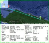
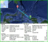
Anyway...here are the requisite files.
 

Attachments

  • FlightLog_07-15-45.TXT
    6.2 KB · Views: 0
  • FlightLog_07-15-45.JPG
    FlightLog_07-15-45.JPG
    80.7 KB · Views: 0
It appears that I departed from the wrong airport?...not sure how as my system showed it as GSP, but the Duenna shows it as AYGP...Now I'm really confused...time to go back to bed.

Edit: never mind...the Duenna lists GSP as AYGP...
 
Landed safely at WABB. Only a few miles off course, but the default weather is non-existent today. Think I'll call it a day and wait until weather comes back on line.
 

Attachments

  • FlightLog_11-44-46.TXT
    7 KB · Views: 0
  • FlightLog_11-44-46.JPG
    FlightLog_11-44-46.JPG
    75.7 KB · Views: 0
Hello Sorong! Down safely at WA1A.
 

Attachments

  • FlightLog_18-54-48.JPG
    FlightLog_18-54-48.JPG
    76 KB · Views: 0
  • FlightLog_18-54-48.TXT
    6.4 KB · Views: 0
Down safely at WAMH. Again...unrealistic "real world" weather with no clouds and unlimited visibility.
 

Attachments

  • FlightLog_08-35-47.TXT
    6.5 KB · Views: 0
  • FlightLog_08-35-47.JPG
    FlightLog_08-35-47.JPG
    81 KB · Views: 0
Final leg...WAMH to RP17...and wouldn't you know, the default "real world" weather is back...clouds and all.
 
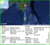
Down safely at Malita...and done! It was nice to finally have some actual weather to fly in this last leg.
 

Attachments

  • FlightLog_09-34-42.TXT
    6.3 KB · Views: 0
  • FlightLog_09-34-42.JPG
    FlightLog_09-34-42.JPG
    77.2 KB · Views: 0
Back
Top