-
There seems to be an uptick in Political comments in recent months. Those of us who are long time members of the site know that Political and Religious content has been banned for years. Nothing has changed. Please leave all political and religious comments out of the forums.
If you recently joined the forums you were not presented with this restriction in the terms of service. This was due to a conversion error when we went from vBulletin to Xenforo. We have updated our terms of service to reflect these corrections.
Please note any post refering to a politician will be considered political even if it is intended to be humor. Our experience is these topics have a way of dividing the forums and causing deep resentment among members. It is a poison to the community. We appreciate compliance with the rules.
The Staff of SOH
-
Please see the most recent updates in the "Where did the .com name go?" thread. Posts number 16 and 17.
You should upgrade or use an alternative browser.
Prepar3D v3 Screenshots
- Thread starter IanHenry
- Start date
scotth6
Charter Member
Now that's some serious mesh !
How did you get that ? I understand the website you mentioned provides some topography data for some places. But how did you get that in the sim ?
Hey Daube,
Yes the Opentopography website has free elevation data which is derived using LIDAR. It is available as point data (usually LAS files) or the website allows other formats to be generated directly from the point data or previously converted data can be bulk downloaded.
The elevation data can be downloaded as a GEOTIFF file, and then it just needs to be reprojected in to a coordinate system that FSX can understand, which is EPSG 4329 - WGS84. This projection is needed for the FSX resample tool to work with the data, as FSX is based around this coordinate system. It is the same for landclass and photo scenery, as these also need to be in this coordinate system. Once the Tiff file is in this projection, it can be converted to a FSX/P3D bgl by using the resample tool which comes with the FSX and P3D SDKs.
For example, here is the command line used in FWTools to reproject the TIFF projection from the original (NAD83 / UTM zone 11N) to WGS84:
gdalwarp -of GTiff -co "INTERLEAVE=PIXEL" -s_srs "+proj=utm +zone=11N +datum=WGS84" -t_srs "+proj=latlong +datum=WGS84" -r cubic 319_4171_begd.tif 319_4171_begd_wgs84.tif
And then that GeoTIFF file "319_4171_begd_wgs84.tif" is processed through the resample tool using the following information in the .inf file.
[Source]
Type = GeoTiff
SourceDir = "."
SourceFile = "319_4171_begd_wgs84.tif"
Layer = Elevation
NullValue = 0
[Destination]
DestDir = "."
DestBaseFileName = "Inyo_Domes_CA_Geo_FB4"
DestFileType = BGL
CompressionQuality = 100
LOD = Auto
FractionBits = 4
BaseValue = 1000
This only creates the mesh, so obviously some photoreal is required also to see the photo ground textures.
Here is the first version I have created for the Inyo Domes, (with some fairly poor PR imagery) with no blending or any other work done. Eventually I would like to create some photoreal and mesh which blends in to FTX, but I also just like seeing these areas as they are in the sim. Mesh needs to be set to 1m.
https://drive.google.com/file/d/0Bxev_0S9k7HPMHhxa1JfbVF5ZjQ/view?usp=sharing
Daube
SOH-CM-2025
What the impact on the sim loading time, blurries, FPS etc ?
It seems to me the mesh does not impact the FPS at all, but the overall memory usage and CPU power needed to load and build/update the scenery in flight can become a real hammer, right ?
scotth6
Charter Member
What I have found is that the mesh is sometimes trying to catch up, so you can see it sort of moving and changing shape as you fly towards it. I am still experimenting to try and overcome this. It is kind of like the mesh equivalent of blurries, where the scenery is stuck on a lower resolution when it should be increasing faster. I guess it has something to do with the LOD levels.
I have made a few meshes now with the data from opentopograhy.org as they produce LIDAR for interesting features such as craters, rock slides, fault lines etc, so I make them pretty much just to explore those interesting areas up close in the sim.
Daube
SOH-CM-2025
Helping a friend who is slowly discovering P3Dv4 after years on FSX. Using JoinFS we could fly together (over areas where we own the same sceneries).
Hard to keep a formation flight when the other guy keeps being amazed at the autogen, the lighting, the shadows etc...


Daube
SOH-CM-2025
- make a nice landing in a neat looking place
- when you're stopped, switch to avatar mode
- switch to "VC" mode of the avatar (F9 key)
- move your avatar (slew mode) to a nice spotter location
- trigger the instant replay
- watch your airplane land from the ground. You can't move, but you can still move your head!
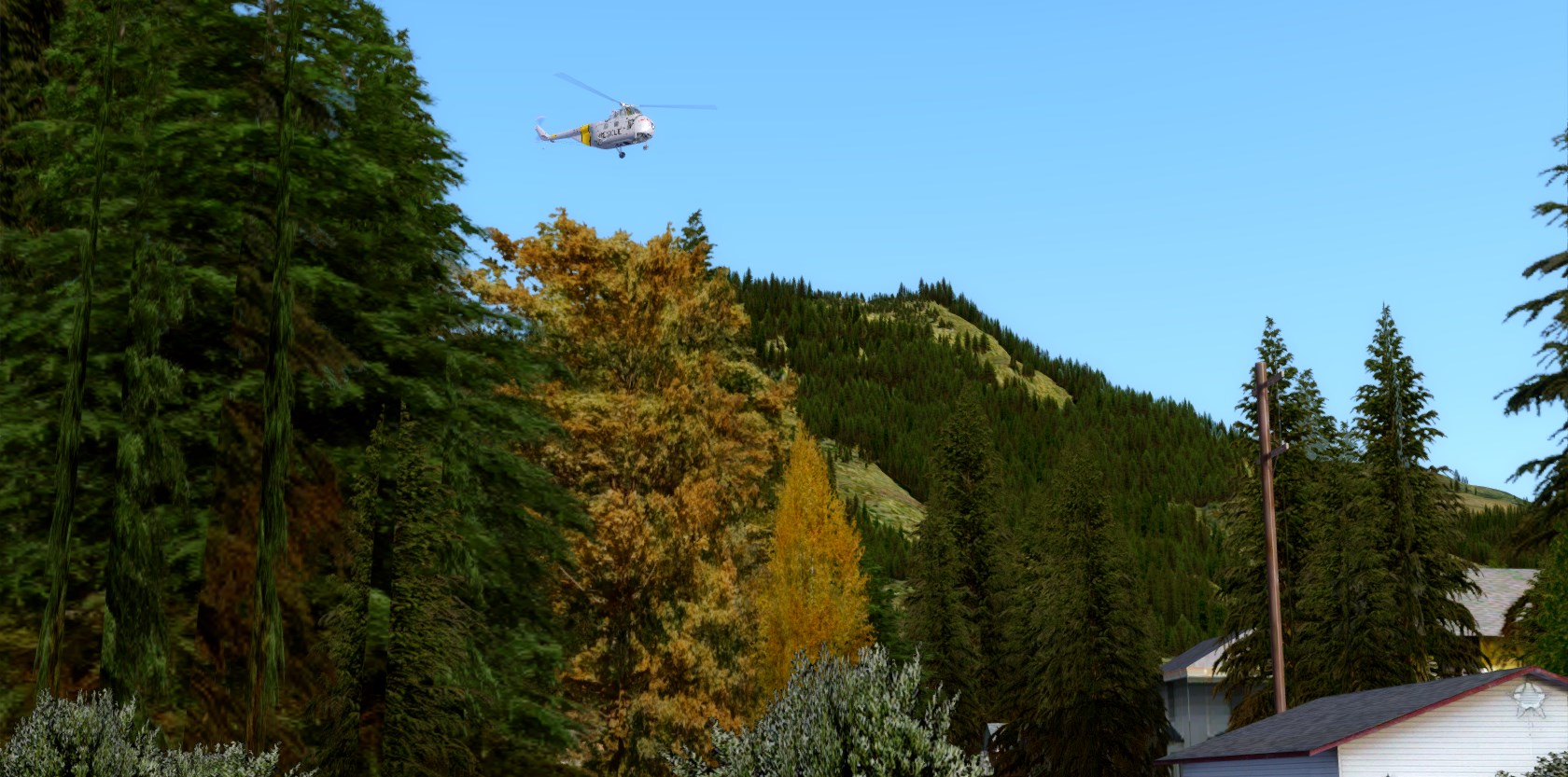
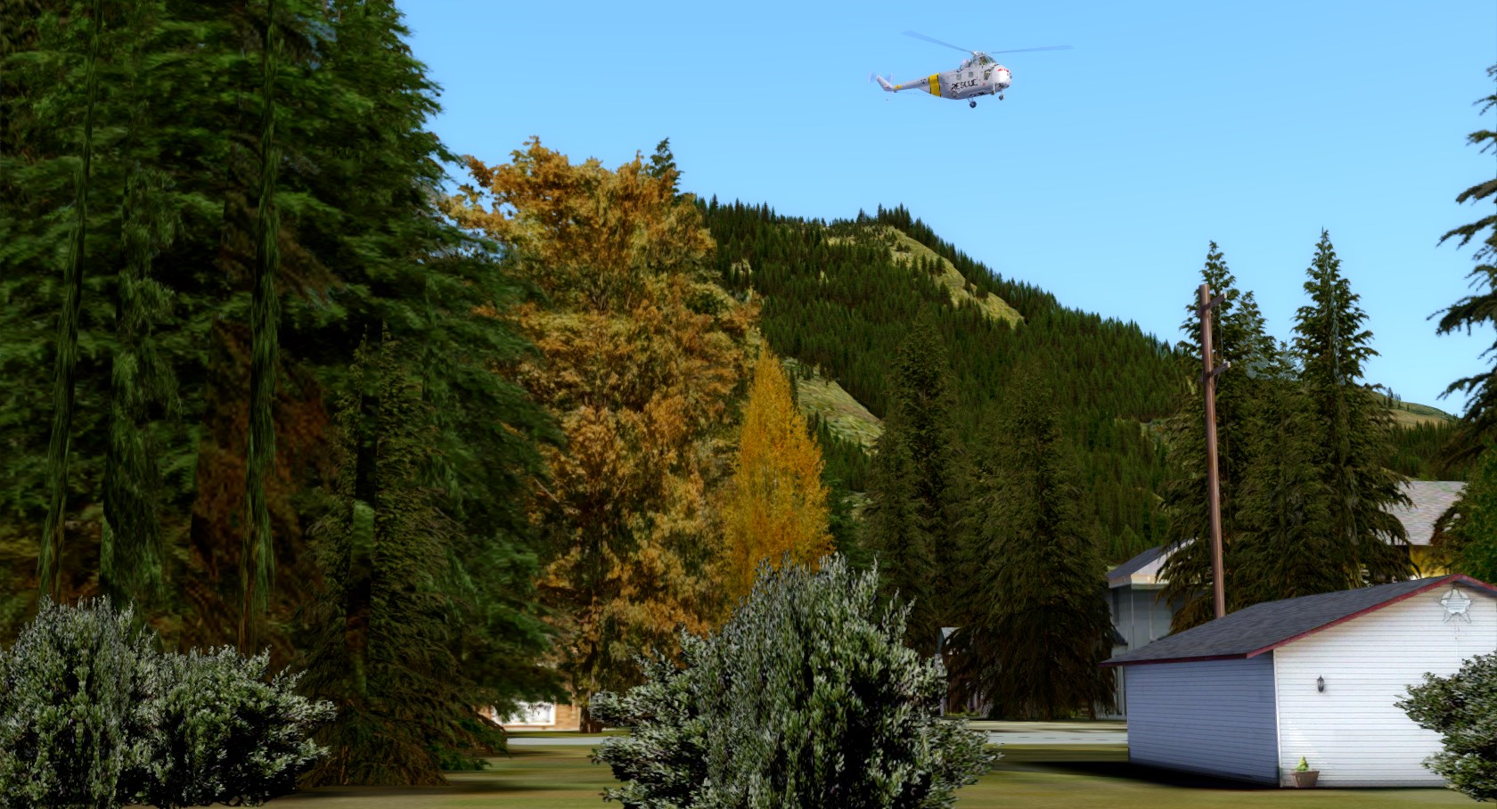
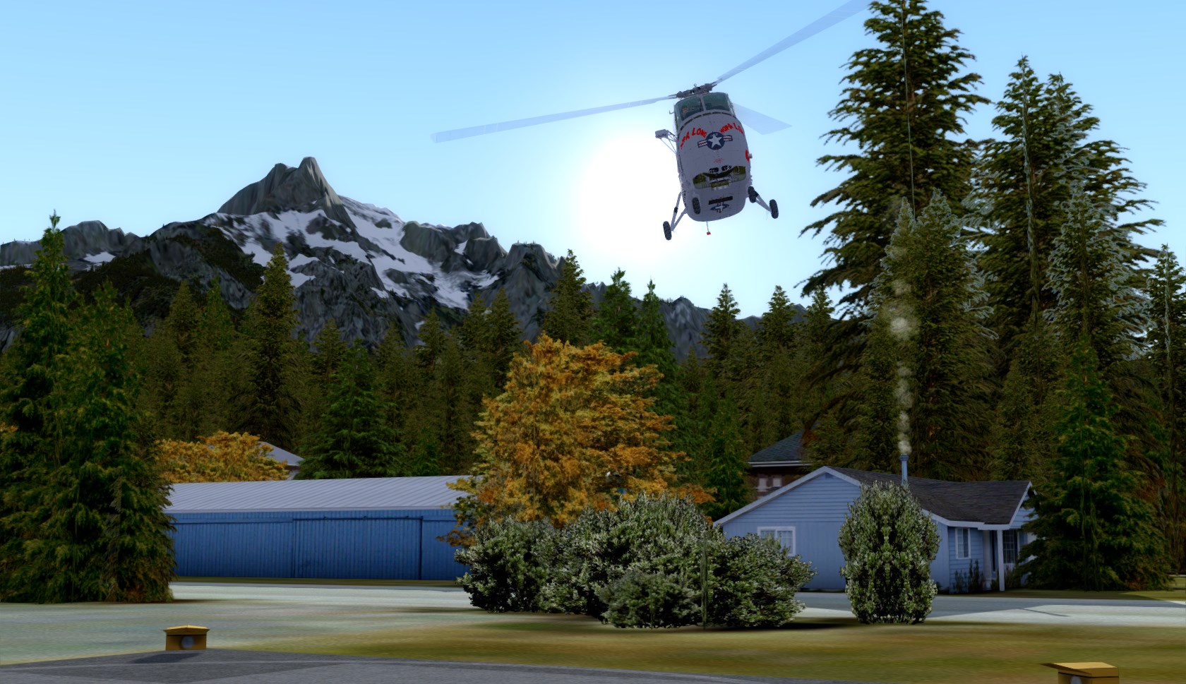
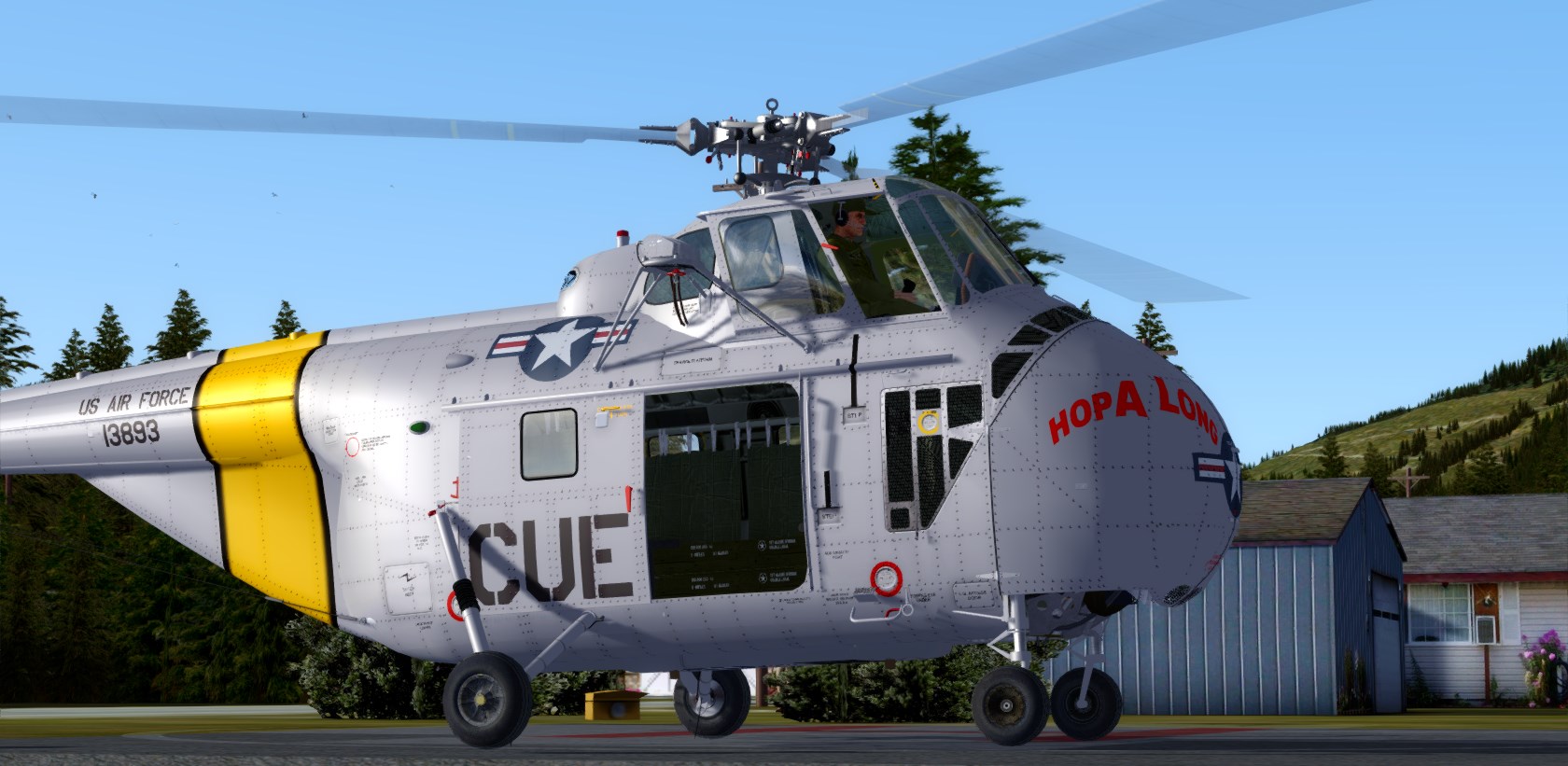
There I was landing on the helipad #2, at the small hospital in Darrington.


Then back to spot view.

scotth6
Charter Member
Very nice !
I checked the Gibson scenery website and it seems his previous sceneries (Irak ?) are gone ?
They are from the same developer, but the Middle East and Korea PR are published through VRS so they are available on their website. They are published under the Geo Pack name.
https://www.vrsimulations.com/geopack.php
Cheers,
scotth6
Charter Member
Is that the Flight Replicas 'Boomer'? and it works ok in V4?
Hi Pat,
It is indeed the Flight Replicas Boomerang. Not sure about V4 yet. These shots were taken in P3D V3.4. I just uninstalled my P3D V4 yesterday or I would test it for you. I will do so once I install P3D V4.1.
Cheers,
Scott
These Hornet shots are quite nice!
Which scenery is it ?
https://29palms-store.de/home/18-ktnp-twentynine-palms.html


