Push Push across the Pacific

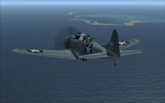
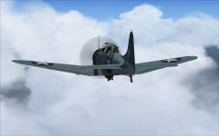
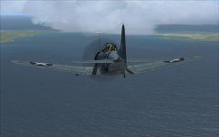
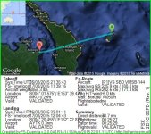
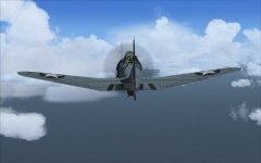
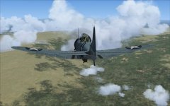
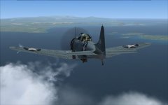
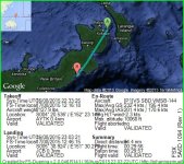
Weather started out clear, but did not last long. Near Green Island. In the clouds. Approaching Malekolon.
 

Attachments

  • 2015-8-16_15-32-34-804.jpg
    2015-8-16_15-32-34-804.jpg
    56.5 KB · Views: 0
  • 2015-8-16_15-37-1-606.jpg
    2015-8-16_15-37-1-606.jpg
    32.8 KB · Views: 0
  • 2015-8-16_15-45-46-514.jpg
    2015-8-16_15-45-46-514.jpg
    44.2 KB · Views: 0
Yep, the t storms came back for a short. Over New Ireland. Rabaul.
 

Attachments

  • 2015-8-16_16-40-7-385.jpg
    2015-8-16_16-40-7-385.jpg
    33.7 KB · Views: 0
  • 2015-8-16_16-48-12-263.jpg
    2015-8-16_16-48-12-263.jpg
    71.1 KB · Views: 0
  • 2015-8-16_16-53-33-704.jpg
    2015-8-16_16-53-33-704.jpg
    34.7 KB · Views: 0
Climbing up through New Britain, with the storms staying to the east. Jacquinot Bay.
 

Attachments

  • 2015-8-16_17-38-14-359.jpg
    2015-8-16_17-38-14-359.jpg
    64.3 KB · Views: 0
  • 2015-8-16_17-56-24-540.jpg
    2015-8-16_17-56-24-540.jpg
    59.1 KB · Views: 0
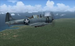
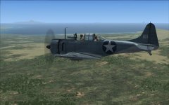
Love that first pic. I always forget how to open the back window so the gunner can get some air!
 
Shift e opens the front, then push 2 opens the rear, the push 3 opens the rear machine guns. Never know when you might need these.
 
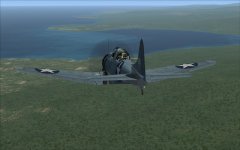
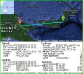
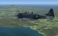
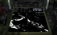
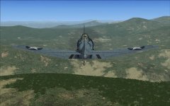
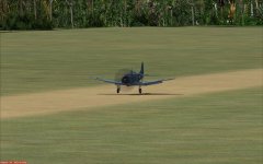
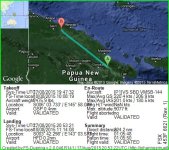
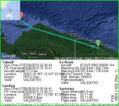
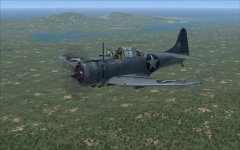
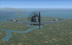
Nice clear weather today. Had to push a headwind for much of the flight. First, Cape Gloucester area. Second, looking at the pull out map of the South Pacific. Third, over the hills in New Guinea. Last, a good landing at Gusap.
 

Attachments

  • 2015-8-17_13-9-19-93.jpg
    2015-8-17_13-9-19-93.jpg
    65.6 KB · Views: 0
  • 2015-8-17_12-27-16-183.jpg
    2015-8-17_12-27-16-183.jpg
    69.6 KB · Views: 0
  • 2015-8-17_13-38-51-21.jpg
    2015-8-17_13-38-51-21.jpg
    81.9 KB · Views: 0
  • 2015-8-17_13-57-15-871.jpg
    2015-8-17_13-57-15-871.jpg
    70 KB · Views: 0
Uneventful flight. Clear weather. A bit of a head then cross wind.
 

Attachments

  • 2015-8-17_14-55-7-129.jpg
    2015-8-17_14-55-7-129.jpg
    73.2 KB · Views: 0
Weather was clear all the way. But headwinds also. Tried different altitudes, trying to find better speeds, settled on 12000ft. First shot is of the Hollandia area. Second is near the New Guinea coast approaching an island, Yapen?, indicating too far south. Soon after picking up the radio on Biak, confirmed a too far south position. Turned north and made an routine landing.
 

Attachments

  • 2015-8-17_18-37-28-588.jpg
    2015-8-17_18-37-28-588.jpg
    83.2 KB · Views: 0
  • 2015-8-17_19-27-26-543.jpg
    2015-8-17_19-27-26-543.jpg
    72.6 KB · Views: 0
Back
Top