Bomber_12th
SOH-CM-2025
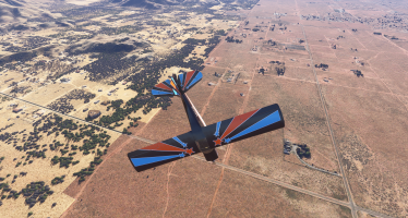
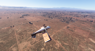
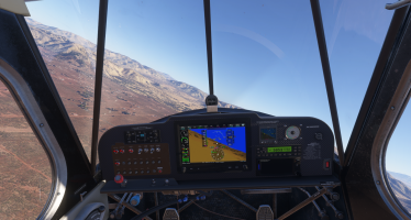
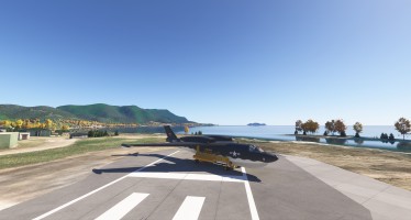
Here are some screenshots flying around one of my favorite geological areas of North America, the Channeled Scablands of central Washington state, encompassing a large region just south and east of Wenatchee. This region was forever transformed by an incredible flood (or floods), unfathomable in scale, which took place near the end of the Ice Age, about 12,000 years ago. Signs of the giant flood(s) can be found in many areas, including most notably a number of pothole formations (where the force of the water, combined with swirling vortexes, carved numerous, massive, pothole impressions), as well as a number of prehistoric water falls created by the flood(s), including Crater Coulee, Frenchman Coulee, Potholes Coulee, and the massive Dry Falls (ten times larger than Niagara Falls). Flying around this region, I continue to be more and more impressed by the detail and quality of the elevation mesh/use of lidar data, the AI-generated detail added to cliff faces, as well as the AI-generated rocks/rock piles. The only real area of the scenery I'd like to see improved is the amount of trees - I would guess about 90% of the trees in this region could be removed for greater accuracy.
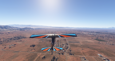
Flying south from Wenatchee toward Potholes Coulee, you fly over these massive ripple patterns left from the flood waters roughly 12,000 years ago.


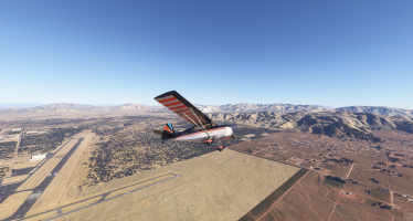
Potholes Coulee, a massive prehistoric water fall and pothole formation formed from the flood waters. Just a little ways south of here is Frenchman Coulee.


Flying south from Wenatchee toward Potholes Coulee, you fly over these massive ripple patterns left from the flood waters roughly 12,000 years ago.


Potholes Coulee, a massive prehistoric water fall and pothole formation formed from the flood waters. Just a little ways south of here is Frenchman Coulee.


Last edited:


