CBI Scenery Project

Howdy Uncle,

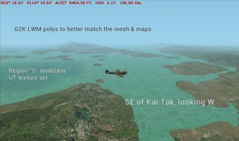
I found another issue in my install with Burma_UT. Flew the tour mission for gsl_Mergui_viewer, and noticed the island at N11* 54.18' E98*15.59' were again the bland quilt patchwork of non-textures. Are you able to look at the G2K asm files for this area to see if there is another case of a missing Maskrider texture? I appreciate your help.
Browncoat, you got me again!!!

In the Mergui_E_8_fixed.bgl I found 2 instances of PT-waveless-shore2...

Rather than spend hours finding & replacing them, it's easiest to add PT_waveless-shore2.bmp to your Burma_UT/texture folder.

For completeness I'd also add them to the

CFS2/Texture & CFS2/SCENEDB/WORLD/Texture folders
 

Attachments

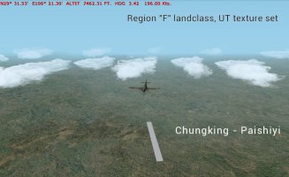
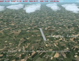
Started to look at Region "F" landclass. This is the area around Chungking- Paishiyi -
1000007301.jpg
Although the valley floors were cultivated, the cropfields all over the surrounding hillsides jar a bit.

In the end I decided to replace the field bitmaps, planning to put in crop fields on the valley floors with EZ-Landclass when I create a landclass patch for the immediate area around the airstrip (once I've created that of course 😉)
1000007300.jpg
 
Chungking area. First is the sandbar strip at Penghu.
1000007440.jpg

Unusable during the spring & summer as the Yangtze swelled, each winter it was cleared for operations & used by CNAC-PANAM flights on the route Hong Kong-Kweilin-Chungking-Chengdu...

Looking back at Chungking from the NE
1000007439.jpg
 
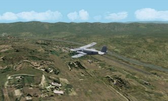
Guangyang was used as Chungking's civil airport for the month's of the year when the Penghu strip was not available.
1000007450.jpg
1000007448.jpg
It was also used by the ROCAF during the defence of Chungking from JAP air raids. Once Paishiyi became available as a military field, it's importance declined.
 
Other air facilities in the Chungking area were difficult to pin down.
The locations on PacificWrecks website are really way off, not matching the topography at all.
After some searching of Perry Castaneda maps, I did manage to pin down 2 of them.

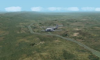
Chio Pung Lo, a small landing ground to the SSW of Chungking.
1000007447.jpg
Ta Chung Pa landing ground, further SW from Chungking & upstream.
1000007446.jpg

They both seem to be based in floodplain locations adjacent to the Yangtze river, so although they might have been useful to the ROCAF in the defence of Chungking, I can't imagine them being much use except as dispersal fields or emergency strips - their facilities must have been limited.
 
Back
Top