
-
Please see the most recent updates in the "Where did the .com name go?" thread. Posts number 16 and 17.
You are using an out of date browser. It may not display this or other websites correctly.
You should upgrade or use an alternative browser.
You should upgrade or use an alternative browser.
City Textures rework
- Thread starter rince33
- Start date
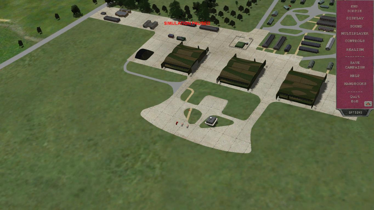
Ok Daniel! So I created a new layer in the Lympne airfield mos file and added the hanger apron detail texture, scaled it and re positioned it in a couple of seconds, and it's working. There are broken lines in the paving texture at certain angles that I spotted after the change. I again set up my double mos file method and there are broken lines at certain angles as well but the effect doesn't seem to happen as often, though this could just be my imagination. I think I'LL go with your method.
Thanks for the input, it will make the process easier and I can see other possibilities where I can improve the quality of the gardens in the Field and forest texture that I'm using.
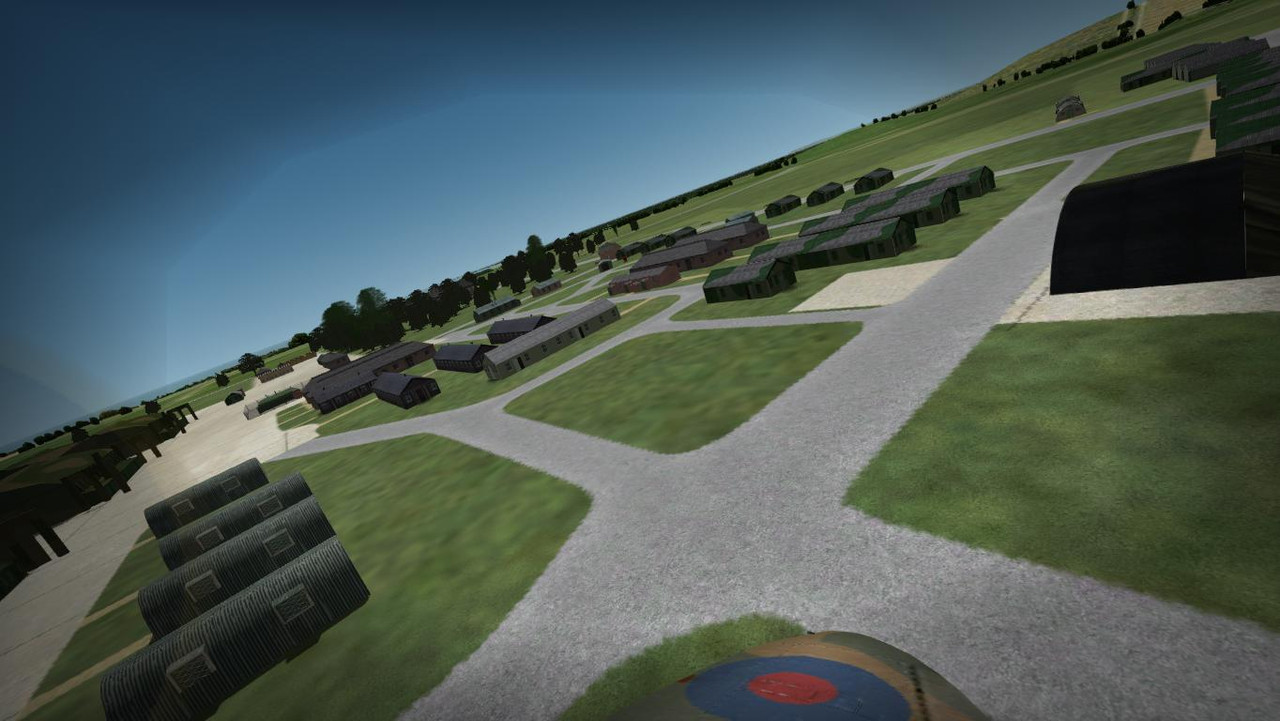
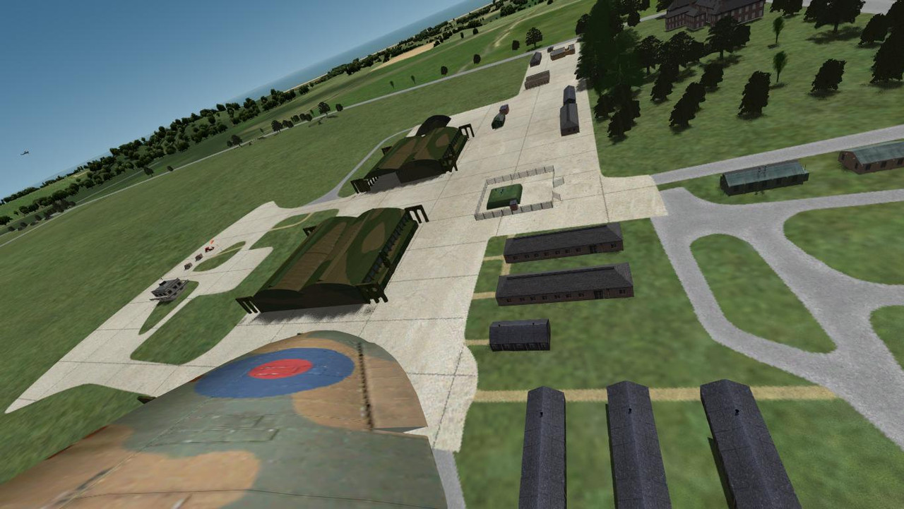
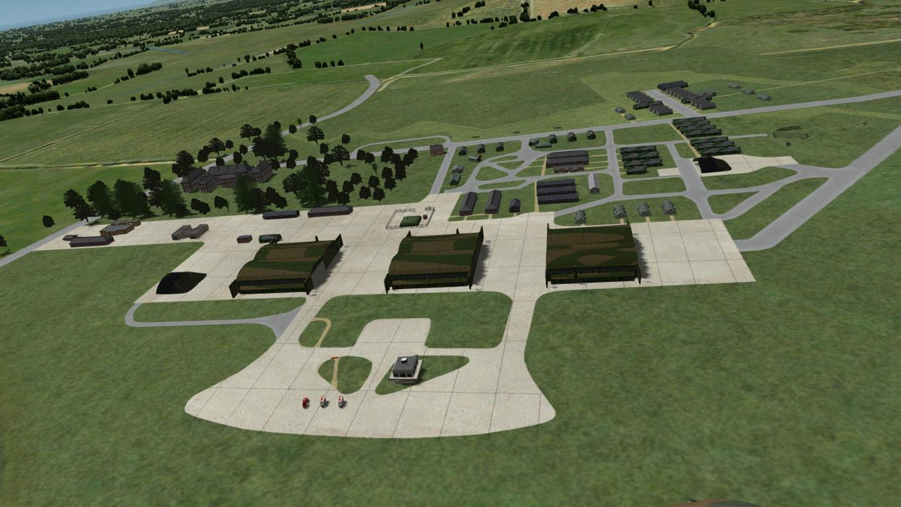
These are the broken paving lines that I mentioned, though they only appear at a certain height and angle. Up close the detail looks good. This is the new combined texture mos file.
Thanks for the input, it will make the process easier and I can see other possibilities where I can improve the quality of the gardens in the Field and forest texture that I'm using.
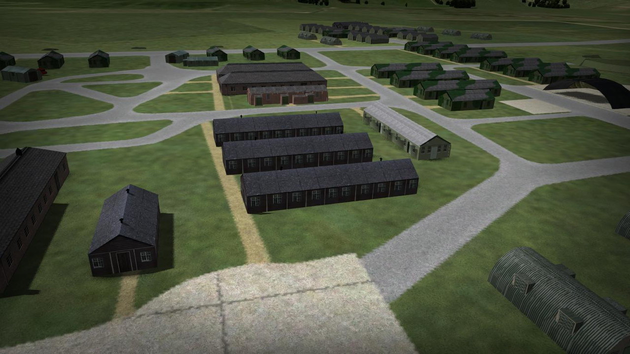
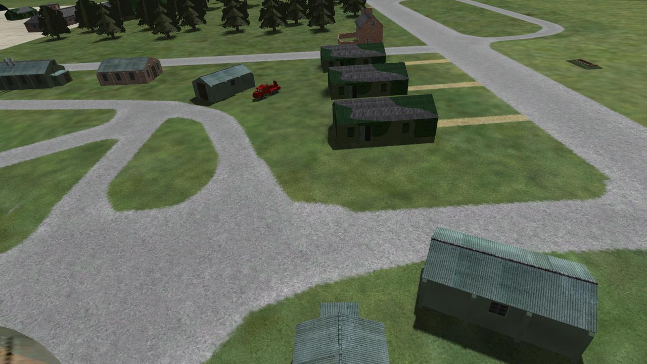
These are the broken paving lines that I mentioned, though they only appear at a certain height and angle. Up close the detail looks good. This is the new combined texture mos file.

greycap.raf
Charter Member
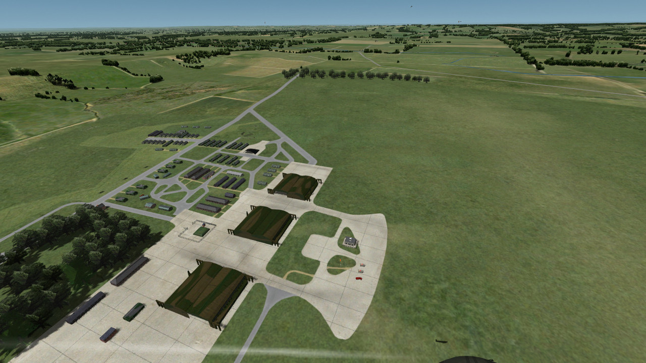
Not to mention that eventually, climbing high enough, you'll reach a point when the game needs to draw a half pixel line. Obviously not going to happen so it'll inevitably result in parts of the lines missing and it's just how it goes no matter how good of a job you do.Ok, the broken lines were caused by not using mipmaps for these particular airfield textures.

Rince, I'm afraid there are people who will construe this as political. We had similar stuff to deal with last year and it had to go. Sorry, but the link has been removed.I came across this earlier and thought it was hilarious. I hope that this isn't construed as being political.
Rince, I'm afraid there are people who will construe this as political. We had similar stuff to deal with last year and it had to go. Sorry, but the link has been removed.
Nay problem, I totally understand. I apologize if it offended anyone.
Last edited:
I'm just trying to make sense of Raf Hornchurch placements. On the right are Bob2wov placements. The enclosed area seems to be reasonably accurate and gives an indication of which buildings can be used.
Both sims have this circled mystery building that does not appear on the photos. I'm wondering what that area to the top left is, maybe garages?
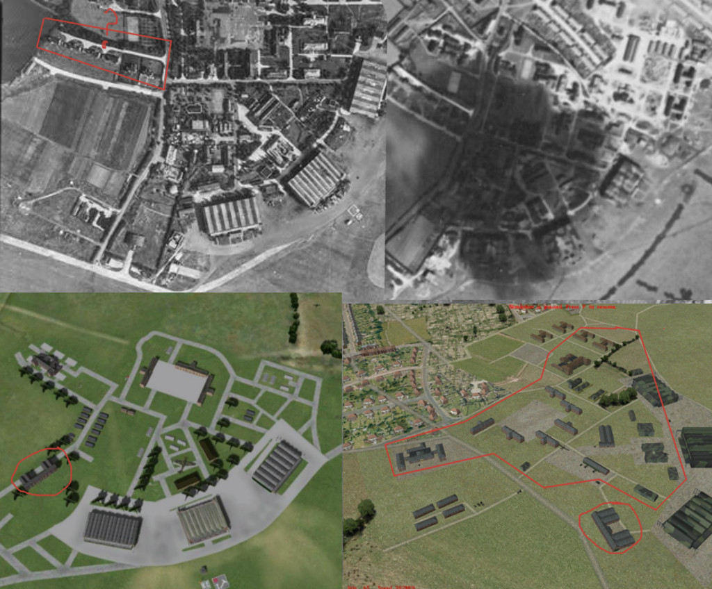
Both sims have this circled mystery building that does not appear on the photos. I'm wondering what that area to the top left is, maybe garages?
Last edited:

Pat Pattle
SOH-CM-2026
That square area you've posted, top left picture, is a bomb dump I think. It's wrong on both layouts.
I've made a bomb dump model since those days so can correct that if you like, unless you want to Glen?
I've made a bomb dump model since those days so can correct that if you like, unless you want to Glen?
flashgordon
Charter Member
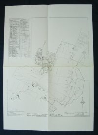
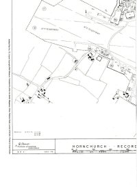
I am afraid I have only a poor quality image (from the internet some years ago) of the full long out of print After The Battle plan No 72 which appears to show the airfields with alterations in 1945 in which the Building Description is, I am afraid, undecipherable. Also a better quality one of the bottom left quarter which I attach.
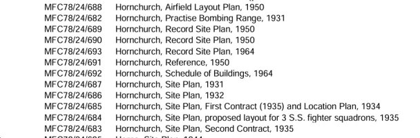
The RAF Museum holds digital copies of the pre and post war plans as also shown. These are available from askcollections@rafmuseum.org for £2 each although they have a limit of 150 research inquiries per month so it it is likely that this month is already fully subscribed. They have digitised Catalogues of their Airfield and Building Plans also available. As some of the plans are from from 80 year old plus paper prints the quality can be variable.
There is the RAF Hornchurch Heritage Centre;

 rafhornchurch.com
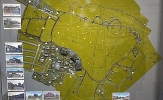
. I attach a map display of the airfield they have taken from Facebook.
The RAF Museum holds digital copies of the pre and post war plans as also shown. These are available from askcollections@rafmuseum.org for £2 each although they have a limit of 150 research inquiries per month so it it is likely that this month is already fully subscribed. They have digitised Catalogues of their Airfield and Building Plans also available. As some of the plans are from from 80 year old plus paper prints the quality can be variable.
There is the RAF Hornchurch Heritage Centre;
Heritage Centre
Visiting the heritage centre and what to expect during your visit We want you to enjoy your experience when visiting the heritage centre, so we have put together a brief outline on what you can expect…
rafhornchurch.com
Attachments
Thanks for the info Clive. As you can see from the pic, placement and texture work is already a work in progress. I will move the Officers mess to the top road In the top left corner and the bomb dump area will be changed as per photos. There are two bomb dump models in the buildings folder, if that is what you are referring to, but looking at the texture they just seem to be a texture patch rather than a building model, Ill have to check.That square area you've posted, top left picture, is a bomb dump I think. It's wrong on both layouts.
I've made a bomb dump model since those days so can correct that if you like, unless you want to Glen?
Thanks Gordon, I will probably use what is readily available on line as well as the maps you have kindly provided. I have just visited Rafmuseum.org, looks very interesting and I will spend some time browsing their collections later.I am afraid I have only a poor quality image (from the internet some years ago) of the full long out of print After The Battle plan No 72 which appears to show the airfields with alterations in 1945 in which the Building Description is, I am afraid, undecipherable. Also a better quality one of the bottom left quarter which I attach.
Ive lined up the buildings so at a glance I can see what is available. I'll move this to all airfields needing placement work as I go.
The high res texture is in place and just needs some alterations before I remove the underlying texture.
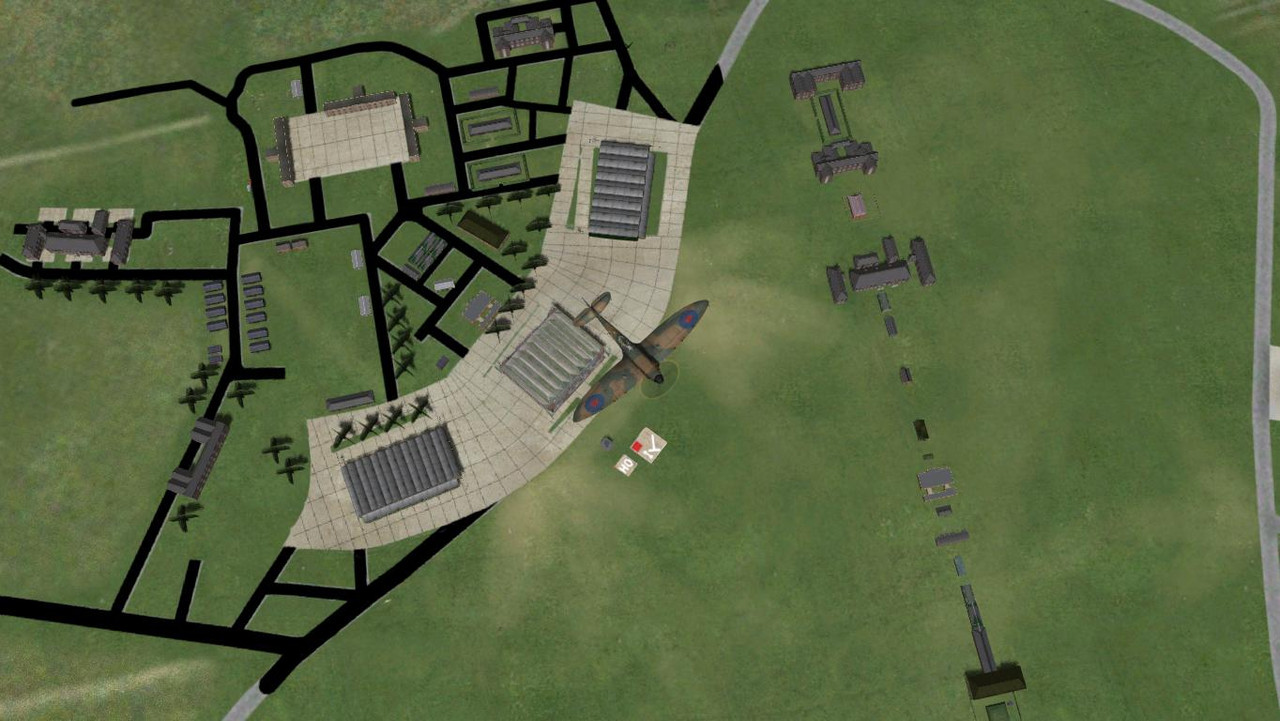
Glen,
Done some sleuthing, the row of buildings in your initial post top LH pic are service living quarters at Park Lane, Hornchurch. Buildings still there as flats (Google Maps 51.5418011754543, 0.20141981812710383). (No16 on pic layout.)
The buildings in the circled bottom LH side pic is the Good Intent pub ( Google Maps 51.54071304809914, 0.20253009141697723). I've actually had a pint in there, lived about 4 miles down the road....many moons ago. (No.17 on pic layout.)
Most of the buildings behind the main hangars outlined in pic bottom RH are there, but what they do/called is not detailed. I suppose the closest you could get is comparing it to another RAF fighter drome of the same era, where buildings are known? (Now houses at Tangmere Crescent/Airfield Way, No19 on pic layout)
Here's a slightly better pic of the layout.
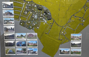 .
Cheers
Shessi
Done some sleuthing, the row of buildings in your initial post top LH pic are service living quarters at Park Lane, Hornchurch. Buildings still there as flats (Google Maps 51.5418011754543, 0.20141981812710383). (No16 on pic layout.)
The buildings in the circled bottom LH side pic is the Good Intent pub ( Google Maps 51.54071304809914, 0.20253009141697723). I've actually had a pint in there, lived about 4 miles down the road....many moons ago. (No.17 on pic layout.)
Most of the buildings behind the main hangars outlined in pic bottom RH are there, but what they do/called is not detailed. I suppose the closest you could get is comparing it to another RAF fighter drome of the same era, where buildings are known? (Now houses at Tangmere Crescent/Airfield Way, No19 on pic layout)
Here's a slightly better pic of the layout.
.Cheers
Shessi
Last edited:
flashgordon
Charter Member
Don't know if any of the attached will help.
The National Library of Scotland have a vast collection of maps online; https://maps.nls.uk/ many of which are out of copyright and free to download. Attached are the 1/10560 scale maps of Hornchurch revised in 1938 and 1961 (airfields were shown as blanks until Sputnik). Also the 1965 1/2500 stiched maps showing development upto the airfield boundaries.
Also Conservation Appraisal papers for what remains of Hornchurch and the more extant Duxford.
Although pre WW2 Fighter Command airfields had many standardised Expansion Era buildings they had more individual layouts to those of Bomber Command as they tended to be re-builds of those of WW1. Hornchurch was built in 1928 to replace the nearby Sutton Farm and extended in the mid '30s.
The National Library of Scotland have a vast collection of maps online; https://maps.nls.uk/ many of which are out of copyright and free to download. Attached are the 1/10560 scale maps of Hornchurch revised in 1938 and 1961 (airfields were shown as blanks until Sputnik). Also the 1965 1/2500 stiched maps showing development upto the airfield boundaries.
Also Conservation Appraisal papers for what remains of Hornchurch and the more extant Duxford.
Although pre WW2 Fighter Command airfields had many standardised Expansion Era buildings they had more individual layouts to those of Bomber Command as they tended to be re-builds of those of WW1. Hornchurch was built in 1928 to replace the nearby Sutton Farm and extended in the mid '30s.
Attachments
-
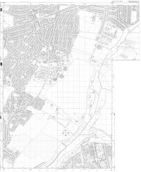 Hornchurch 2500 OS Revised 1965.jpg1.2 MB · Views: 1
-
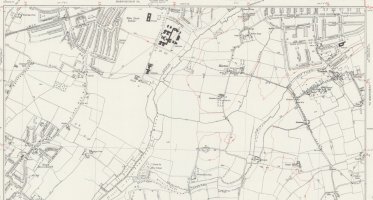 10560 OS Essex LXXXVII Revised 1938.jpg252.3 KB · Views: 1
-
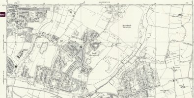 10560 OS TQ 58 SW Revised 1961.jpg336.6 KB · Views: 1
-
RAF_Hornchurch_CA_Appraisal.pdf615 KB · Views: 1
-
Duxford 1945.pdf848.5 KB · Views: 1
-
Duxford Airfield - without maps.pdf1.1 MB · Views: 1
-
IWM Duxford LB Appendix 6 Part1.pdf4 MB · Views: 1
It's all good info Gordon, and a great map link. It will come in handy for general placements as well. The fun part about researching these areas is learning about the history as well as the placements. I will get to Raf Duxford.
It looks like I'll be building some models again. The existing H-blocks are too large for Hornchurch, as well as what looks like a half H-block. Bob2wov model screenshots will be a good guide for a simple gmax model. I've already captured some screenshots and I'll lift the textures from the airfield texture sheet.
The fun part about researching these areas is learning about the history as well as the placements. I will get to Raf Duxford.It looks like I'll be building some models again. The existing H-blocks are too large for Hornchurch, as well as what looks like a half H-block. Bob2wov model screenshots will be a good guide for a simple gmax model. I've already captured some screenshots and I'll lift the textures from the airfield texture sheet.
Last edited: