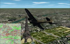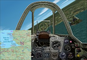
France & Flanders Map Gauges

Klein

Members +
Hello Vintage Aircraft Afficionados
My friend Michael Vader sent me an XML gauge, GeoLibre, showing your position on a French map.
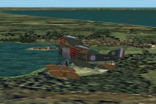
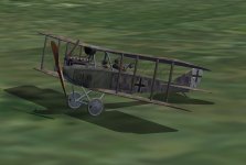
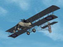
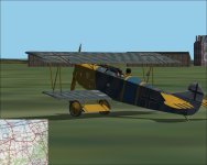
Michael gave me the idea to do the same with historical World War One maps, in .gau format, usable in CFS2, some screenshots to illustrate it:
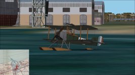
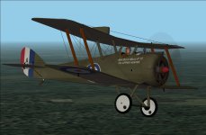
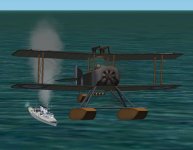
Sopwith Baby in Dunkerque.jpg
Aviation Maritime Sopwith Baby in Dunkerque
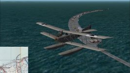
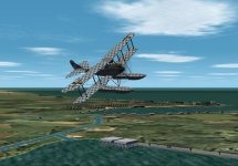
FF33 over Zeebruge.jpg
Friedrichshafen FF33e over Zeebrugge

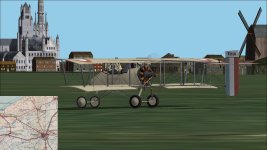
Voisin3 in Coxyde.jpg
Voisin 3 in Coxyde

For now, only a few part of the historical maps is re-shaped/re-sized, it will be a long and repetitive work to complete it, is it worth to keep on this way?

Cheers
Martin :jump:
 
Hello Kurt

The Sopwith Baby and the Voisin 3 are Stephen Wroble's, made for First Eagles and converted to CFS2 with his permission, to come soon

Cheers
Martin :jump:
 
Martin,
The map display is fantastic, really like that ability. Did you build the gauge from the xml or is it using the inbuilt map facility?

Cheers

Shessi
 
There are a few more of Stephen Wroble's WW1 aircraft soon to be released as well. They will be equipped with Martin's fantastic map gauge.
 
Last edited:
Shessi,
The gauge uses a macro similar to the XML gauge code, MAKE_MOVING, a card moves under a mask and only the part behind the mask is visible, the sim tells the macro how to move the card via the variables PLANE_LATITUDE and PLANE_LONGITUDE, for the map to be at the relevant place in the mask's center. Finally the little blue plane uses the macro MAKE_NEEDLE to indicate the plane's heading.
The actual gauge weighs 96 Mo, and covers an area from Dunkerque, all the Belgian coast, up to Lille on south, about half size of what I would want, I would enjoy to go up to Saint Quentin and Amiens on south, there is most probably a limit on what is possible, but I don't know it for now.

Kevin,
This gauge is a long time project, good idea to fit all our planes with it, but I don't know when it will be done, and if I'll have enough motivation to spend months to go to the end.
If somebody wants to give a hand to the necessary re-shape and re-size of each map, he is welcome!

Cheers
Martin :jump:
 
Here are some more.
 

Attachments

  • DH5_15_03.jpg
    DH5_15_03.jpg
    434.2 KB · Views: 31
  • Rumpler 6B1.jpg
    Rumpler 6B1.jpg
    832.9 KB · Views: 27
  • Sopwith Baby HMAS Brisbane 2.jpg
    Sopwith Baby HMAS Brisbane 2.jpg
    578.4 KB · Views: 26
  • Sopwith Baby Hornsea.jpg
    Sopwith Baby Hornsea.jpg
    1,017.3 KB · Views: 26
  • Rumpler C.I.jpg
    Rumpler C.I.jpg
    483.6 KB · Views: 23
  • Voisin III Russian.jpg
    Voisin III Russian.jpg
    563.3 KB · Views: 26
Hello Gents

The map was uloaded here at SOH, please visit it here:

I hope you'll enjoy it, cheers

Jabbeke.jpg

and good flights over the trenches, cheers
Martin
 
Back
Top