Hello Vintage Aircraft Afficionados
My friend Michael Vader sent me an XML gauge, GeoLibre, showing your position on a French map.
Michael gave me the idea to do the same with historical World War One maps, in .gau format, usable in CFS2, some screenshots to illustrate it:

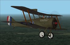
Aviation Maritime Sopwith Baby in Dunkerque

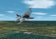
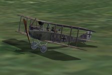
Friedrichshafen FF33e over Zeebrugge

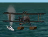
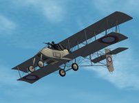
Voisin 3 in Coxyde
For now, only a few part of the historical maps is re-shaped/re-sized, it will be a long and repetitive work to complete it, is it worth to keep on this way?
Cheers
Martin
My friend Michael Vader sent me an XML gauge, GeoLibre, showing your position on a French map.
Michael gave me the idea to do the same with historical World War One maps, in .gau format, usable in CFS2, some screenshots to illustrate it:
Aviation Maritime Sopwith Baby in Dunkerque
Friedrichshafen FF33e over Zeebrugge
Voisin 3 in Coxyde
For now, only a few part of the historical maps is re-shaped/re-sized, it will be a long and repetitive work to complete it, is it worth to keep on this way?
Cheers
Martin

") .
.