Nice info!
This is what I've got:
LZ on top of the hill to the east of the Tacan site
View attachment 175913
Source: https://www.limasite85.com/fall-of-lima-site-85
View attachment 175912
Source: https://www.historynet.com/lima-site-85/
Airstrip down at the foothill to the west of the mountain
View attachment 175914
Source: https://www.limasite85.com/do-chi-ben-document
The image above depicts also the heli LZ to the east of Tacan
View attachment 175915
Source: https://www.limasite85.com/installation-of-trn-17-tacan
View attachment 175916
Source: https://www.geocities.ws/koratmahknut/warinlaos/Lima85/phouphathi.jpg linked from this website https://www.geocities.ws/koratmahknut/warinlaos/Lima85/adoptmia.htm
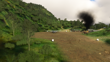
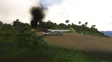
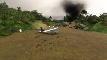
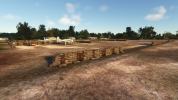
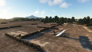
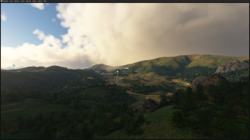
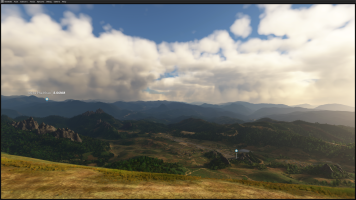
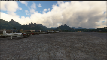
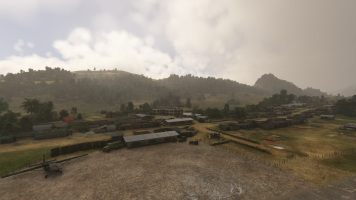
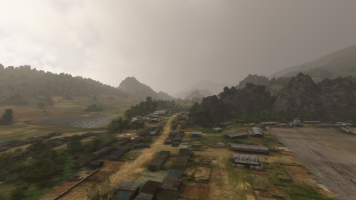
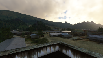
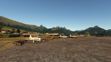
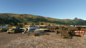
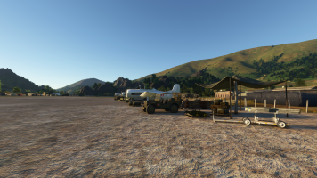
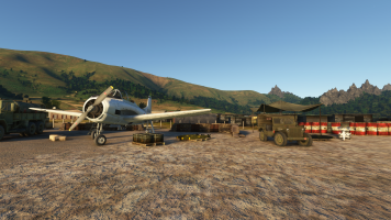
My scenery includes only the LZ on top of the hill and the airstrip down to the west of the mountain as I believed I had enough info to re-create them as per historically relevant info.
I did not include the earlier airstrip 34/16 at the ridge to the south-east of the Tacan as at the time when I was working on the scenery I did not have the last image above and therefore little to confirm its existence.
Unlike youwhich makes me happy to see you are working on it.
I hope the info above is useful in case you have not seen it yet.
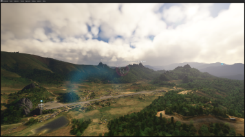
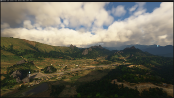
OK. So I checked a lot of sources and think I have the location now. Confusion: there was a Landing Zone (for helicopters) which was on the ridge, and a Landing Strip at 4.5k ft roughly in line with the ridge (<- this is the main clue, because it is 1000 ft below the airfield which I created. the orientation and length matches though). The LZ is not mentioned in the CIA documentation. Maybe this is because the installation fell before an updated next Air Field Facilitiy booklet was released. So they just left it out.
The official STOL site was carved out of the mountain. And it is still visible today, with some imagination. There are also some hints that there was another staging field nearby, an a valley, but I have research this deeper.
Another thing - they did not have GPS back then. So coordinates mentioned in the original documentations were quite rough. But the runway orientations were rather acccurate, and the minimal length. As well as the elevation.
We will get there!
Cheers,
Mark
Last edited:


