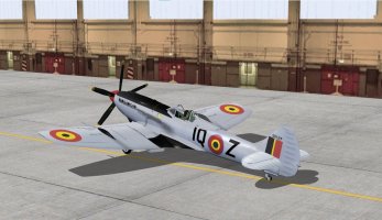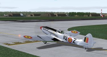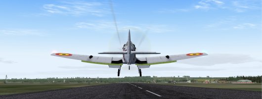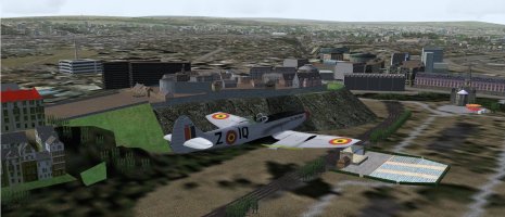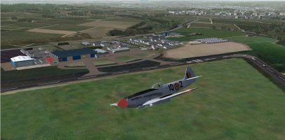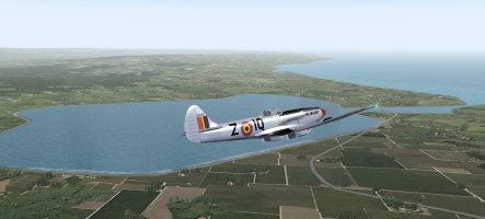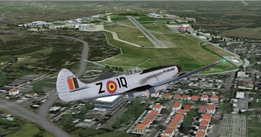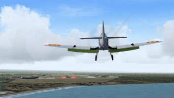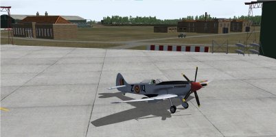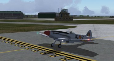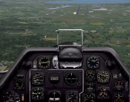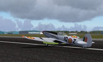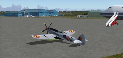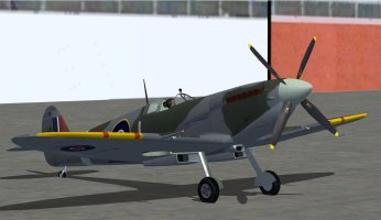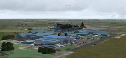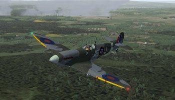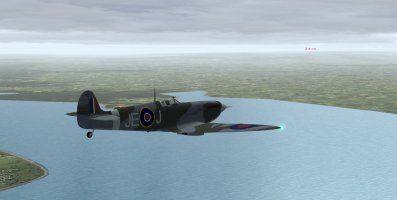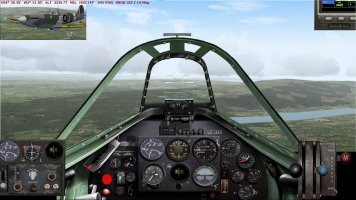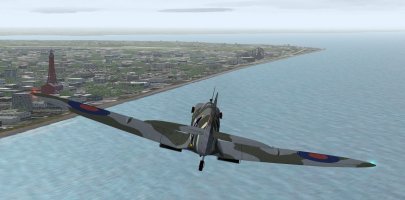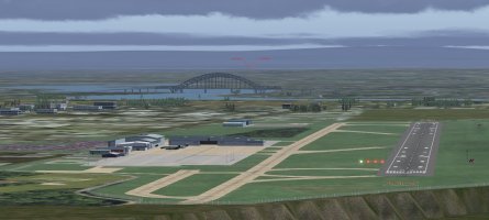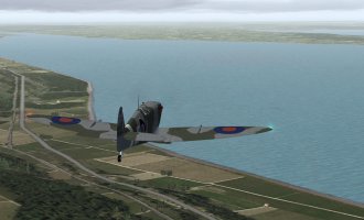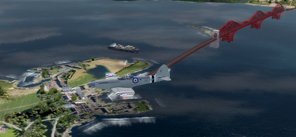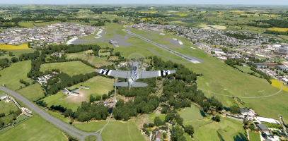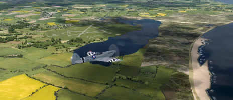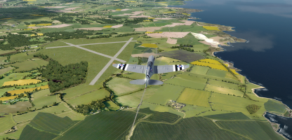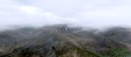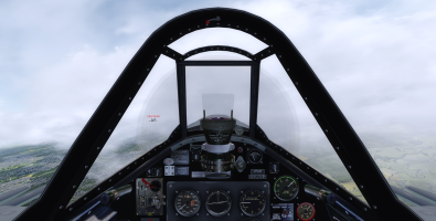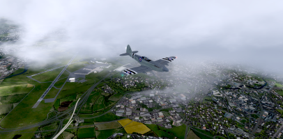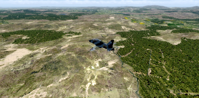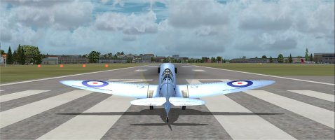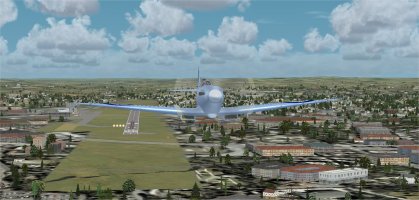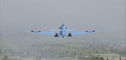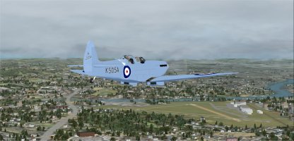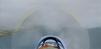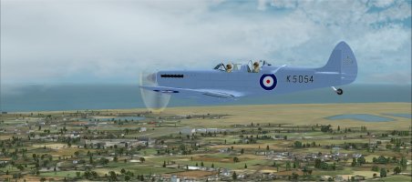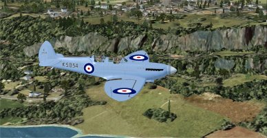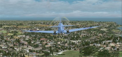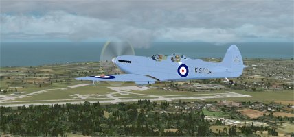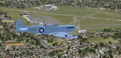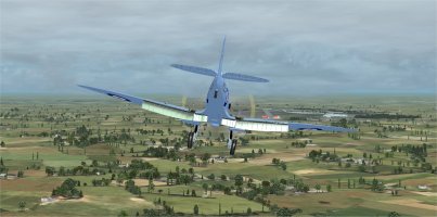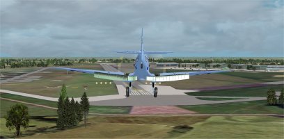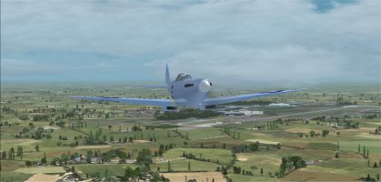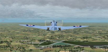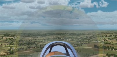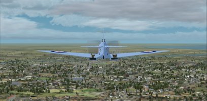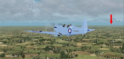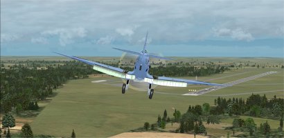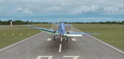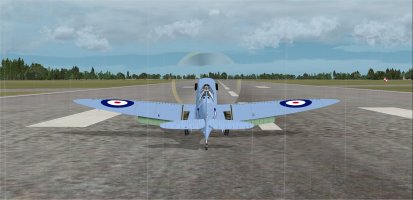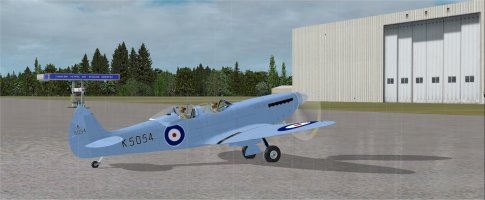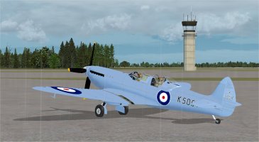
Spitfire K5054 90th Anniversary Circumnavigation of the UK: PIREPS

The SrG and T_K Spit Tour Adventure: Flight 2

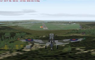
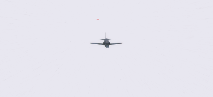
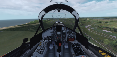
After a plane swap at Coningsby we set off again. This time Rob was flying the Spit and I was in Rick Piper's Hawk T1. Here we are just after take-off and getting into formation.
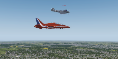
Spit Tour Leg 2-1.png

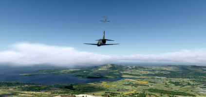
We found a good balance between the two was about 200 Kts or so. Here we are crossing the Humber at Hull.
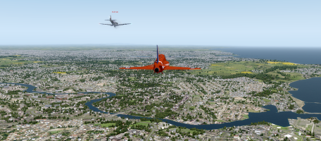
Spit Tour Leg 2-2.png

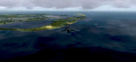
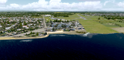
We had decided at the start to make a quick detour to Newcastle airport so that we could swap planes, this time I was going to fly the Seafire and Rob was going to fly the Phenom T1. It would turn out to be a bad decision for both of us! We got to the airport OK and the approach was nice and easy with clear skies and good visibilty.
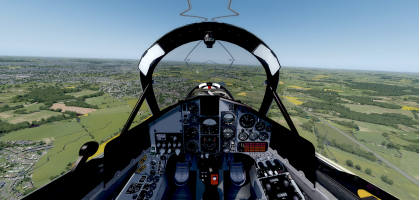
Spit Tour Leg 2-3.png

We touched down safely and as I was applying the brakes to slow down there was a mighty CRAAAACK!!!!!!!!!!! that was so loud that it made my wife jump who was sitting at her desk in the adjacent corner of the room! It turned out to be the left toe-brake pedal on my Saitek/Logitech rudder pedals snapping! :eek:o_O😭

I have had these pedals for at least 10-12 years and possibly more! A little research showed that this is in fact a common problem with these pedals and I had done well to last this long without them breaking (Rob has gone through two sets of the same pedals in a similar time frame). Apparently the return spring is so strong that eventually the plastic part the spring attaches too just fatigues and breaks. I did some more research and found out that replacement 3D printed parts on Amazon and Ebay were not worth the money as many reports said the part broke as soon as they tried to attach the spring. I did find a 3D printer file on Thingiverse that is supposedly stronger and it is full thickness throughout whereas the original has a varying cross-section in order to save weight and costs. I asked my Son-in-Law if he could print it on one of his printers and he said yes and he could even print it in a stronger filament than the one recommended. The kids are making a 10-11 hour drive to visit next week-end and he's going to print some off and bring them to me .... Whoo Hoo! :)

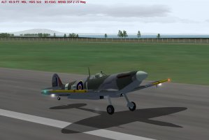
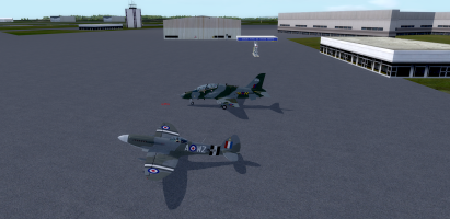
I decided I could get by with a floppy left pedal so we got set up for the next phase of this flight. Here we are ready to leave Newcastle with me in the Seafire and Rob in a Phenom T1 but as I don't have that plane I stuck him in the Hawk I had just vacated.
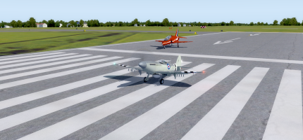
Spit Tour Leg 2-4.png

It wasn't long after take-off that Rob started to have issues with his Phenom. It seemed that every time he put the nose down even slightly the aircraft was so slippery it would start to accelerate and with no speed-brakes it went into over-speed in seconds and POOF the flight was over and he had to wait to reload at the starting airport again. Then it was a case of take-off and then hit warp factor 4 to try and catch up to where I was. This happened a couple of times between Newcastle and Edingurgh and started to get very annoying!

While Rob was fighting his over-speed demons I cruised up the East coast until the Firth of Forth came into view.
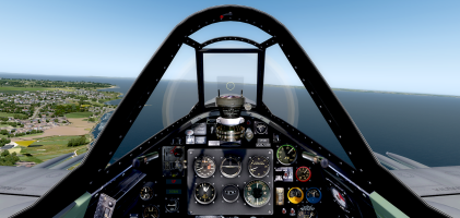
Spit Tour Leg 2-5.png

As Rob was still going through the reload the flight then catch up only to explode again ritual I decided to turn left and fly down to do what you have to do when this close to Edinburgh.
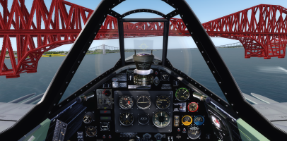
Spit Tour Leg 2-6.png

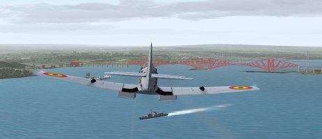
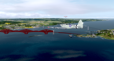
You guessed it! A fly-by under the Forth Bridge is a 'must do' thing!

Rob eventually got his issues sorted and we managed to get into formation again just before getting to the destination.
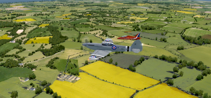
Spit Tour Leg 2-7.png

We did a high approach towards Leuchars before diving down and 'buzzing' the field.
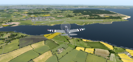
Spit Tour Leg 2-8.png

This was followed by the obligatory Spitfire curved approach so that you can actually see where the runway is!
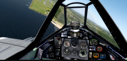
Spit Tour Leg 2-9.png

We made it down safe and parked up for the night after a very eventful leg for both of us!
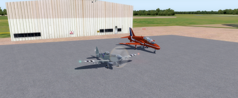

Spit Tour Leg 2-10.png
 
(Posted on 12th. May)
10th. May 2026 Leg 3 Leuchars to RAF Lossiemouth
FS9 and FS Global Real Weather

Work on the fuel consumption problem is finished.
1 work finished.jpg

[General_Engine_Data]
fuel_flow_scalar=0.7 //1.000000 (was 1.0 adjusted to 0.7)
We shall have to see what the fuel burn is at the end of the leg.
We also want to test performance (I have a suspicion it is below what the real aircraft is capable of).
All tanks loaded to 99.9 % (143 gallons)

Time 10:00
This leg 3 is approx 206 nm.
Weather:
Wind: 270Âș with 10 kts
Temp 10 CÂș
Visibility 51 km

Power up and a long taxi to rwy 27. Time to close the bubble canopy and wait for clearance:
2 leuch clearance.jpg

Anticipating the torque twist this time, smooth take off:
3 up off.jpg

Climbed to 2000’ and heading 220Âș towards Edinburgh and the bridges max speed in a slight dive was 308 kts, and a salute to the navy:
4 salute to navy bridges.jpg

Minor diversion towards a Board of Enquiry and a very low pass over Princes Street Gardens with Edinburgh Castle to my left.
EDINBURGH.jpg

Heading north towards Perth and my old stomping grounds. Perth aerodrome (EGPT) was were I spent 19 hrs. towards my private pilots licence (PPL) as a member of The Scottish Aero Club, buzzing around in a Cessna 150/2 and sometimes an Aerobat. The club hut is marked with the red circle. It was quite a few years ago, let’s just say way before GPS and personal computers. I raise a glass to Captain Lockart my instructor, probably gone to that aero club bar in the sky long ago:
5 Perth club.jpg

Turning onto a 65Âș for Montrose Basin (WP3). The basin is tidal, it empties to the sea under the bridge to the right of the picture. At low tide the basin is a mud flat, a haven for many wading birds.
6 montrose WP3.jpg

Turning north following the coast till we turn inland for Aberdeen’s Dyce airport:
7 a Dyce 2.jpg

Heading back to the coast that we will follow round and up the Moray Firth to Lossimouth.
My approach is curved and a bit low but a touch of power gets me up onto the glide scope:
8 app low.jpg

Taxiing to my reserved spot. Closing down procedures complete.
Time 11:13 flight time 1hr 13 minutes
Fuel left 75.8 gallons (53%) The fuel burn does still seem a bit high, but on a couple of occasions the Spitfire was pushed to its max and the results a bit disappointing; max speed at 2000’ was 308 kts. By the book it should manage around 380 kts. I have not decided whether I tinker with her or just leave her be. She only does occasional special events like this nowadays.
91 all off.jpg
 
(Posted on the 12th.)
PART 1

11th. May 2026 Leg 4 RAF Lossiemouth (EGQS) to Prestwick (EGPK)
FS9 and FS Global Real Weather

Weather: Wind 288Âș 6kts
Visibility 30 miles.
Fuel 99.6% or 144 gallons.
10:00 am, time to power up for what promises to be one of the most scenic legs, crossing the Highlands of Scotland.
It’s a long taxi to Lossiemouth rwy 23. Waiting for take off clearance:
1 wait clear.jpg

Kinloss ahead, this WP1 is only a skip and a jump from Lossie. Kinloss is another ex RAF station now in Army hands, it is a diversionary airport as well as an army barracks and maintained as such. It used to be the RAF station for the fleet of Coastal Command Nimrods. With the arrival of the P8-A Poseidon it is hoped Kinloss will have a renewed RAF presence.
2 Kinloss ahead.jpg

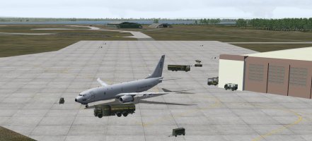
Is that an RAF P8-A I see on the apron?
Kinloss Posed.jpg

No time to relax, Inverness (EGPE) airport coming up, they deserve a low fly by as well:
3 inverness airpt.jpg

No rest for the wicked, Inverness town is coming up, we turn onto a 220Âș heading over the town just south of the Kessock bridge to the Black Isle. It is not actually an isle but a peninsula. We will be following the river Ness to the famous Loch. We could buzz the monster if it dares show its elusive self.
4 inverness town.jpg

Passing Inverness (it calls itself The Capital Of The Highlands) we reach the start of Loch Ness, deep and brooding it is up to 750’ deep and dark with peaty water hiding its secrets.
5 Loch Ness 1.jpg

Some 30 nm in length we are whizzing through the most picturesque scenery in the UK.
We are now approaching the southern end of the loch and Fort Augustus from where the Caledonian canal connects the loch to the sea. Time to turn south on an 180Âș heading:
6 Caledonian Canal WP3.jpg

We will be passing close to many of the Monros (name given to any mountain in Scotland over 3000’) Low cloud is common but not welcome at 220+ kts
7 head south low cloud.jpg
8 highlands in cloud.jpg

Approaching Beinn A Chreachain 3539’ . Ben Nevis is only some 35 nm. to the west at 4,413’ the tallest mountain in the UK:
9 Beinn A Chreachain.jpg
 
(Posted on the 12th.)
11th. May 2026 Leg 4 RAF Lossiemouth (EGQS) to Prestwick (EGPK)
FS9 and FS Global Real Weather

PART 2

Still skimming south at 220 kts through the Highlands of Scotland. Now over Loch Katrin with Loch Lomond in the distance:
91 Katrine and Lomond.jpg

Over Loch Lomond and below is the tourist sight-seeing Cessna 208 that does tours of the Highlands from the Loch:
92 C208.jpg

Just a few minutes south of the loch and we are giving a busy Glasgow airport a fly past (thanks ATC for holding the heavies for a couple of minutes):
93 low pass busy glasgow.jpg
94 low pass glasgow.jpg

A slight course adjustment for Prestwick, now only a few minutes away. Time to contact Prestwick ATC and we are cleared for a right downwind rwy 31. And we are down safely:
95 down in Prestw.jpg

We are directed to park away from the passenger terminal on the apron outside what has been in various times the home to Scottish Aviation who produced the Scottish Aviation Prestwick Pioneer to give it its full title, BAC then BAe not forgetting Avro and Bombardier..
96 Parked up Prestwick.jpg

Time 11:08 flight time 1 hr 8 mins
Fuel used 67 gallons (45.1%)
 
I flew two legs last weekend but couldn’t post because of the crash forum. I’ll be abroad for the next 10 days. I won’t be able to fly and report but I’ll keep following you.
 
(POSTED ON THE 14th.)
12th. May 2026 Leg 5Prestwick (EGPK) to RAF Valley (EGOV)
FS9 and FS Global Real Weather

PART 1

Weather:
Wind 360Âș 17kts Gusting to 23kts
Visibility 24 Km
Light rain
Cover: Scattered 2000’ and 3000’
Temp: 10C

Fuel 65..6% or 162 gallons.
Time:10:00

Gremlins in the Griffon.
The bad news: The Griffon powered Spitfire XIV needs repair to diagnose the loss of power. She will play no more part in the circumnavigation.
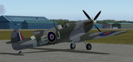
The good news: Spitfire JE-J Mk IXe is available and is stabled here in Prestwick. The MkIX is what most would consider the iconic Spitfire, with tear drop wings, Merlin engine and cowling and original canopy.
I take a few photographs:
1 Spit Mk IXe.jpg
2 Spit Mk IXe back.jpg

The weather is the worst of the circumnavigation so far but Yannik is happy to fly the new plane.
All checks completed and he is cleared to hold rwy 31 He informs ATC he will be taking off without back tacking to the start of the runway (the runway is almost 10,000’ long.):
3 holding for t off.jpg

Up and the BAe Systems complex is below our wing and it’s time to turn onto a 140Âș heading for Dumfries:
4 leaving Pres.jpg

Now on our 140Âș heading. This part of Scotland is under-statedly beautiful, it doesn’t have the Longest or Deepest or Tallest anything, and consequently has few tourists making it very pleasant to visit.
Yannik is trying to maintain a 2500’ altitude but the wind is gusting up to 27 kts and flipping the aircraft about like a leaf and low cloud joining in to make life difficult:
5 onto 140 heading.jpg

The wind is strong 23 kts and veered to 328Âș but not gusting, making life easier. Heading out over the Solway Firth and leaving Scotland behind. Ahead lies one of England’s most scenic areas: The Lake District.
 
(POSTED ON THE 14th.)

12th. May 2026 Leg 5Prestwick (EGPK) to RAF Valley (EGOV)
FS9 and FS Global Real Weather

PART 2

Heading out over the Solway Firth and into England and it’s famous Lake District:
6 over solw firth.jpg

The first of the famous lakes ahead: Ullswater:
7 Ullswater lake dist.jpg

A few miles further south and a slight course adjustment as we fly down the length of the biggest lake of the district: Windermere. The weather is not good but the wind is steady:
8 windermear.jpg

At the bottom of Windermere we turn west for a short hop to the sea then due south again for a fly past of the Isle Of Walney and Barrow-In-Furness where the British nuclear submarines are built (unfortunately FS9 shows no sign of the dockyard complex):
9 WP5 barrow fur.jpg

Heading 150Âș as we hop over Morecambe Bay and, over Fleetwood, turn onto 190Âș for Blackpool. The tower off our wing with the Pleasureland Rollercoaster ahead. In the distance Blackpool airport:
91 Blackpool.jpg

If we had had time we might have diverted the few miles up the Mersey with a wing waggle over John Lennon airport (almost a must for a music fan):
John Lennon.jpg

But, no time, so we turn west instead, with Anglesey and our final destination in view just a few minutes later:
92 Anglesey ahead.jpg

We are cleared for rwy 32 at RAF Valley so skirt the south of the island along the Menai straits to turn north lining up for the runway:
93 short final.jpg

The landing was not easy with a gusting headwind:
94 down.jpg

We are directed to park next to one of the big boys. Close down procedures complete and time for a good meal and a beer or two.
95 all off.jpg

Arrival time: 11:16 Flight time 1hr. 16 mins.
Fuel left 44.0% or 109 gallons
Fuel used 21.6% 53 gallons.

A much more realistic fuel burn. I’ll test the performance on the next leg.
 
The SrG and T_K Spit Tour Adventure: Flight 3

I am so far behind in my PIREPS it isn't funny thanks to the forum outage last weekend!

Flight 3 turned out to be a bit of a disaster in itself in multiple ways. We managed to find the TDS Poseidon P-8 but it didn't want to play in multiplayer at all. The first issue was due to the piracy protection put in place by TDS and Rob was flying it in FSX but what I saw in P3D v4.5 was an aircraft with no wings outboard of the engine nacelles and no gear on the ground which meant close up screenshots were totally out of the question! :cry:

We did solve the issue after the flight by me going into the P-8 in P3D and suddenly his wings and gear appeared as they should and stayed there when I switched back to the Spit. Unfortunately it was too little, too late as we were already parked at the destination by that time and there didn't seem much point in re-flying the leg just to take a couple of screenshots.

The second issue was discovered after we started flying when Rob encountered fuel problems and engine flame-outs that we couldn't explain and Rob had to restart the leg several times while I flew a holding pattern in the Spit. It was also affecting me in multiplayer as every time Rob had a fuel/engine issue my Spit engine would suddenly cut out and I would have to do a <CTRL+E> restart to get the engine fired up again. I have never seen that issue before after literally thousands of hours of multiplayer flying! We did eventually manage to get to the finish line but it was a frustrating time.

The first part of the flight was a bit of a DOH! moment as at the end of the previous flight I had gone to take a look at the Forth Bridge not realizing the route for Flight 3 took us over there anyway! Here we are with Rob off in the distance and me playing catch-up after the take-off. At least I got the bridge from a different angle this time!

Spit Tour Leg 3-1.png

It looks like this freighter made an oopsie too as he's either going to run aground or get stuck under the low part of the span!

Spit Tour Leg 3-2.png

The first point of interest was Dyce near Aberdeen.

Spit Tour Leg 3-3.png

We noticed there were a number of airfields that were not in either of the FSX or P3D databases as accessible airports but they were there in the scenery and in Little NavMap. The first was marked on the map as 'Defence High Frequency Communications Service Crimond'! Ooo errr, I hope we don't get blasted for over-flying secret establishments! :eek::cool:
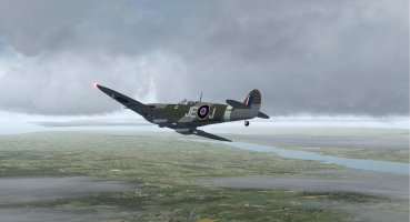
Spit Tour Leg 3-4.png

The next was the abandoned former RAF Banff base which I can only assume was named after the area of the same name in Canada.

Spit Tour Leg 3-5.png

The leg ended at RAF Lossiemouth which required an over-fly then a 180° turn to get lined up with the active runway.

Spit Tour Leg 3-6.png

We got down safe but were both glad to get that leg out of the way! Talk about issues! :dizzy:
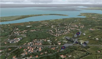
 
The SrG and T_K Spit Tour Adventure: Flight 4

The next flight started off nice as the wind had dropped considerably since we parked up. I set off first and had time to admire the Great Glen and look for Nessie while waiting for Rob to get the Tiffy up and going.

Spit Tour Leg 4-1.png

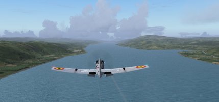
He soon caught up (hardly surprising given the speed difference) and we could enjoy the scenery but we couldn't help noticing the lowering clouds and change from white puffies to grey rain clouds.

Spit Tour Leg 4-2.png

There were lots of grouse moors and forests along the way too.

Spit Tour Leg 4-3.png

Then the clouds really started to gather and flying into cumulus granitus became a major concern!

Spit Tour Leg 4-4.png

It was a battle to keep Rob in sight and maintain formation at times as he kept popping in and out of cloud banks.

Spit Tour Leg 4-5.png

We did an over-fly of Glasgow before landing at Prestwick.

Spit Tour Leg 4-6.png

We got down safe and planned for the next leg to RAF Valley.
 
The SrG and T_K Spit Tour Adventure: Flight 5

Another day, another flight, this time in a Spit and a Hawk T1 as there were no T2s available. The southern moors of the Scottish Lowlands looked very nice in the morning sun as we headed south.

Spit Tour Leg 5-1.png

That didn't last long and we soon found ourselves in full on IFR conditions. I only know Rob is behind me by his multiplayer label!

Spit Tour Leg 5-2.png
Thankfully the WX turned beautiful again as we left Scotland behind and entered the Lake District of Northern England.

Spit Tour Leg 5-3.png

The route took us right over Walney Island aerodrome which was a gunnery school when it was RAF Walney during WWII and an airship station during WWI. It is now operated by BAE Systems.

Spit Tour Leg 5-4.png

As we flew down the west coast I kept an eye open for Blackpool Tower but I guess neither the town of Blackpool nor it's famous tower were in the sim. :(

We did fly past Blackpool's airport though!

Spit Tour Leg 5-5.png

We got down to Liverpool and then turned right along the Welsh coast to make it the third country visited on this one flight. RAF Valley was spotted and it was an easy landing in the Hawk.

Spit Tour Leg 5-6.png

Parked up for the night and the Hawk feels right at home seeing as RAF Valley is one of the major jet training bases.

Spit Tour Leg 5-7.png
 
5 onto 140 heading.jpg
Great to see EN398 and James E. “Johnnie” Johnson represented here this month. :)
 
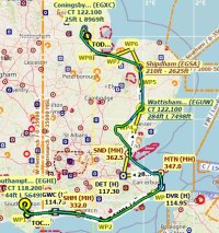
Spitfire K5054 TR9 Flight 1: Eastleigh/Southampton Intl. (EGHI) to Coningsby AB (EGXC) Part 1

I also had some mechanical/equipment issues this week. My new Gladiator NXT Joystick did not play well with my MFG Crosswind rudder pedals. After at least 24 hours trying to get them to behave together I flew with only the new joystick using twist for rudder input. After so many years using them I found myself using the rudder pedals by default as I flew even though they were not connected.

For this event I am flying in FSX. Using Active Sky 2016 for weather and Little Navmap for navigation.
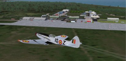
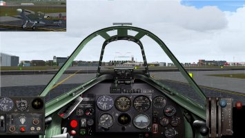
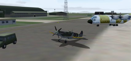
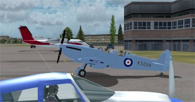
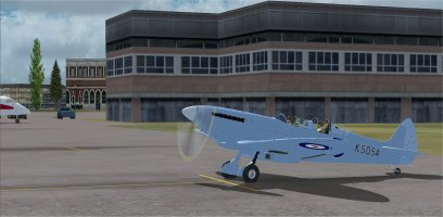
Flying an Aeroplane Heaven Mid-War pack TR9 Spitfire. Repainted to match the livery of the K5054 TR9 Spitfire.

01 ready to fly.jpg
Ready to fly. I had the maintenance crew swing the Spitfire around before starting the engine. For an easier taxi out to the runway.

02 engine started.jpg
Engine started and ready to go.

03 takeoff 20.jpg
Wind direction indicated a takeoff on Runway 20.

For this flight I decided to fly a different way than the already published route. In hindsight that turned out to not be the best decision.

04 on the way.jpg
On the way.

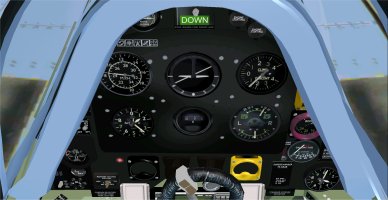
06 Instructor 3D Panel.jpg
Here is my 3D panel in the rear Instructor position. Looks pretty good but not all of the gauges are functional.

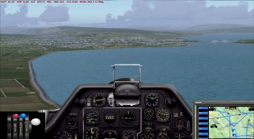
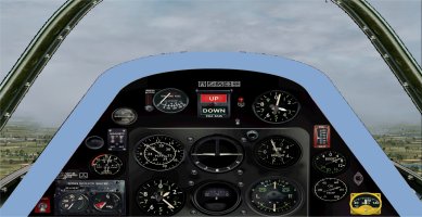
05 2D panel.jpg
Here is the 2D panel. I set the Boost to 6 to give a reasonable speed of around 215 knots.

07 830 ft over Goodwood.jpg
Staying around 1000 feet altitude. Passing Goodwood (EGHR) in the fog.

08 Shoreham below.jpg
Shoreham (EGKA) is below.

09 Instructor forward view.jpg
Here is the Instructor forward view. Not the best weather.

10 Lydd on right.jpg
Passing Lydd (EGMD) on my right.

Continued in Part 2
 
Spitfire K5054 TR9 Flight 1: Eastleigh/Southampton Intl. (EGHI) to Coningsby AB (EGXC) Part 2

11 Battle of Britain Memorial.jpg
Passing by the Battle of Britain Memorial. The main reason why I decided to fly a different route. Unfortunately not much to see here in FSX.

12 flying over Dover.jpg
Enjoying the flight over Dover.

13 Manston.jpg
Manston (EGMH) is on my right. This airfield was often attacked during the Battle of Britain, but was very rarely out of operation.

14 Over Southend.jpg
Over Southend (EGMC). By this point I realized that my fuel state was getting fairly critical and I would not make it all the way to Coningsby AB. This Spitfire only has 85 gallons in the two standard tanks in front of the pilot(s).

So I flew over toward Stansted (EGSS) and Earls Colne (EGSR) and directly overhead Andrewsfield (EGSL) looking for a place to refuel.

Two of the three fields were less than 3000 foot runways, and Stansted had a lot of traffic in the pattern, so I decided to swing back East toward Wattisham Army (EGUW).

15 approaching wattisham.jpg
Approaching Wattisham.

16 Short final for 05.jpg
Short final for runway 05. An easy landing, and gratefully topped up the tanks.

17 back on course.jpg
Back on course and much relieved. My fuel on board after landing was only 17% so a refuel stop was definitely required.

18 Shipdham below.jpg
Shipdham (EGSA) is below.

19 Better weather now.jpg
Forward view with much better weather now.

20 Over King's Lynn.jpg
Over the town of King's Lynn.

Continued in Part 3
 
Spitfire K5054 TR9 Flight 1: Eastleigh/Southampton Intl. (EGHI) to Coningsby AB (EGXC) Part 3

21 Coningsby AB in sight.jpg
Coningsby AB in sight.

22 Curved appoach to 07.jpg
Curved approach to runway 07.

23 over the numbers.jpg
Over the numbers.

24 full stop in the rain.jpg
Full stop landing in the rain.

25 Parked.jpg
Parked at Coningsby AB.

26 Flight 1 completed.jpg
Flight 1 completed.

27 my flight plan and actual flight.jpg
Here is my original flight plan and my actual route flown. You can see that I cut a few corners on the flight plan once I realized that fuel might be an issue.

The flight was 334 miles with one quick stop to refuel. The flight was completed in 1 hour and 30 minutes at an average speed of 193.5 knots.

I used 70.9 gallons before landing at Wattisham Army, and used 34.6 gallons on the rest of the flight. So it is a very good thing that I landed for fuel. 105.5 gallons used. 85 gallon capacity. I will be much more careful to not add extra distance to my future flights on this UK tour. For this flight the Merlin engine used 70.3 gallons per hour.
 
Back
Top