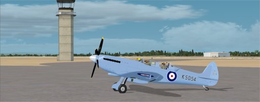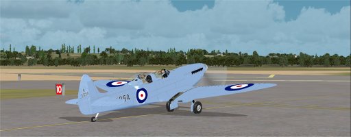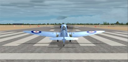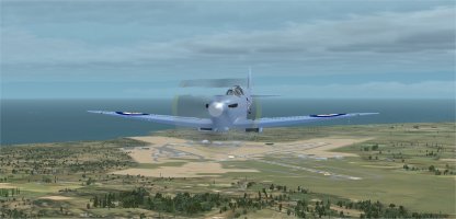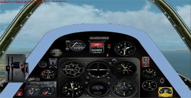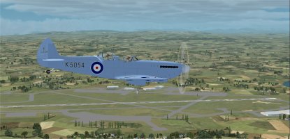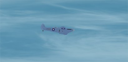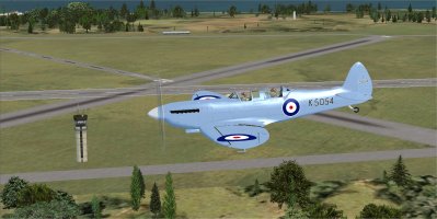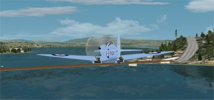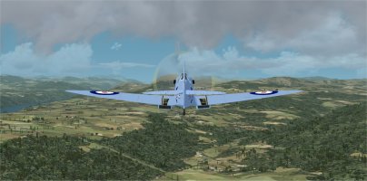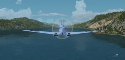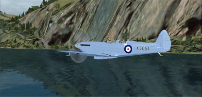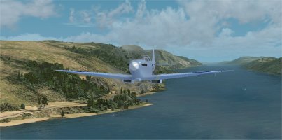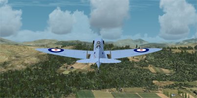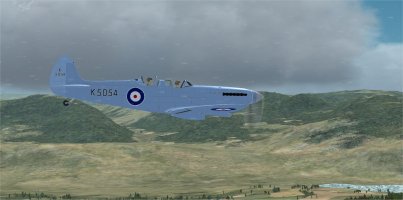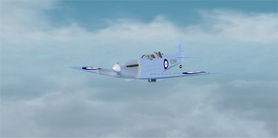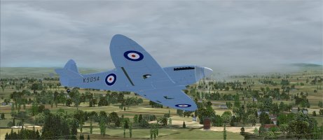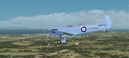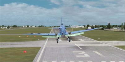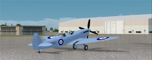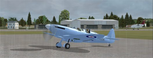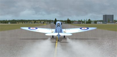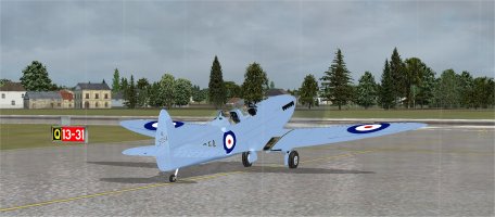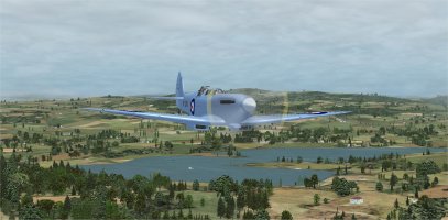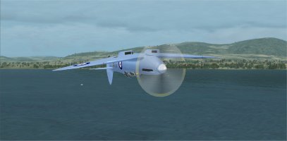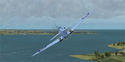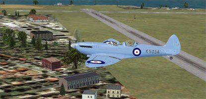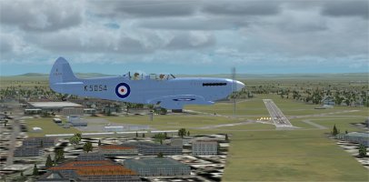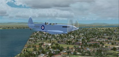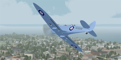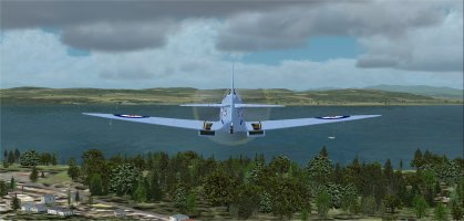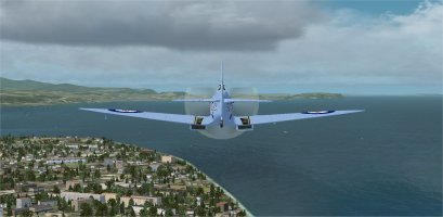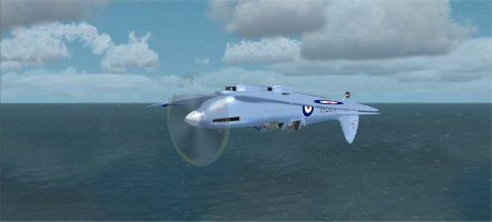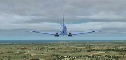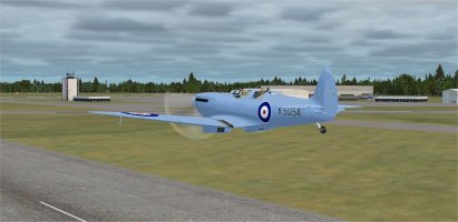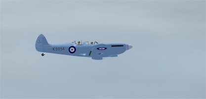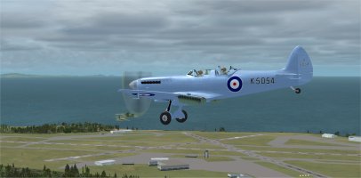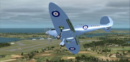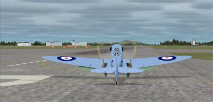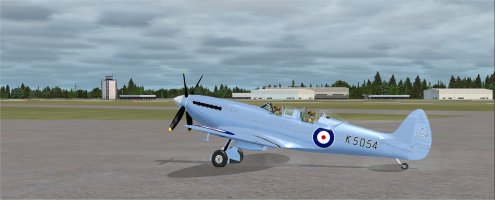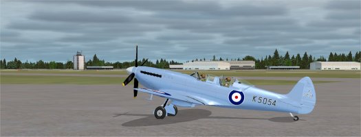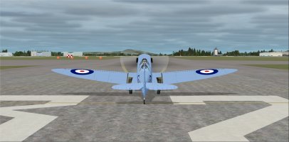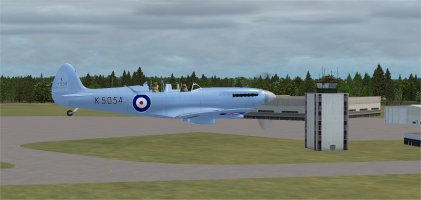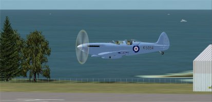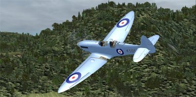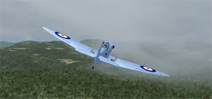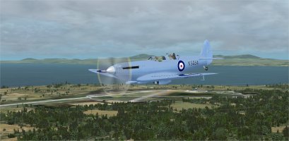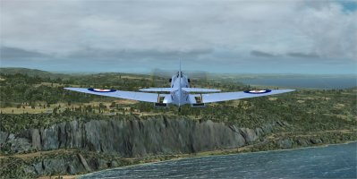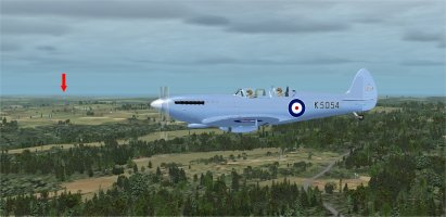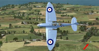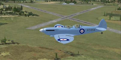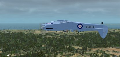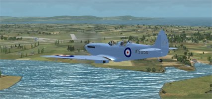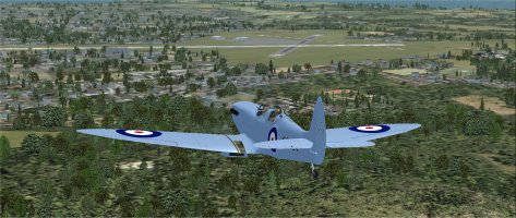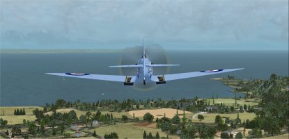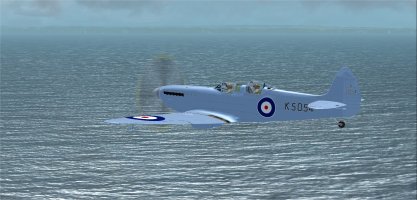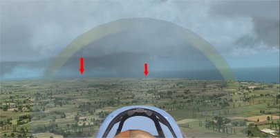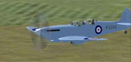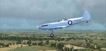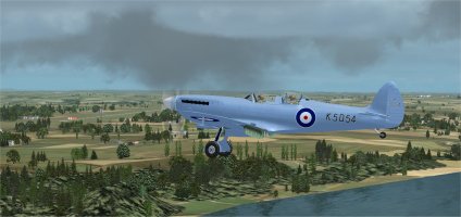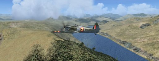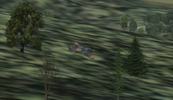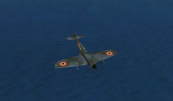
Spitfire K5054 90th Anniversary Circumnavigation of the UK: PIREPS

21st. May 2026
Leg 9 Exeter (EGTE) to Southampton Intl. (EGHI)
FS9 and FS Global Real Weather

PART 2

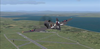
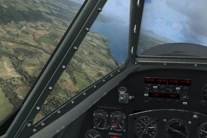
We carry on eastwards and after Poole we pass south of Bournemouth airport (EGHH):
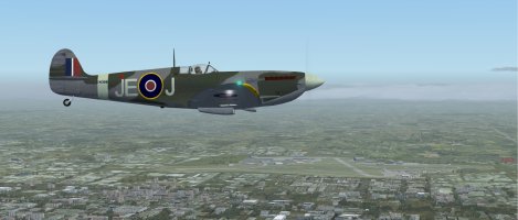
8 Bournemouth to our left..jpg

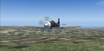
Just past Bournemouth and time to skip acroos to the Isle Of Wight:
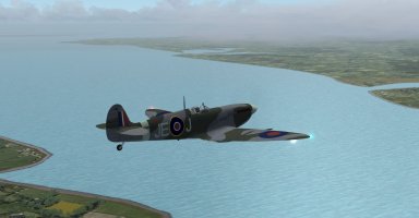
9 jumping to the Isle Of Wight.jpg

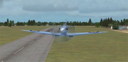
No sooner have we turned east again along the northern shore of the island and it’s time to contact Southampton ATC. We are directed to fly right traffic rwy 20, so a sharp turn onto a 2º heading for a long downwind leg:
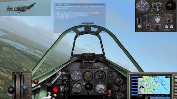
91 cleared rwy20.jpg

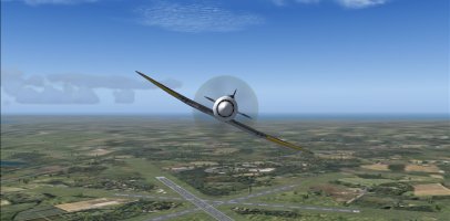
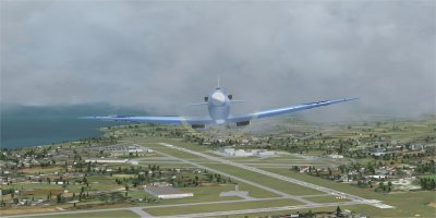
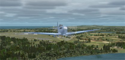
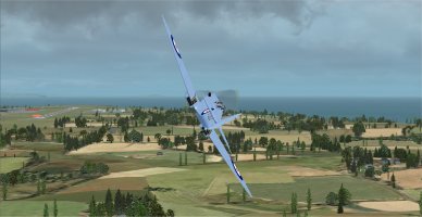
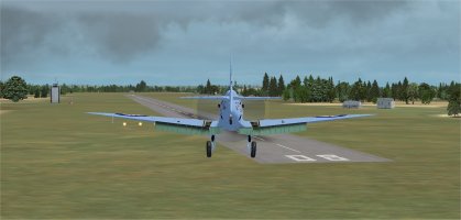
North of (EGHI) Southampton and we turn onto a short base leg then onto a curved final for rwy 20:
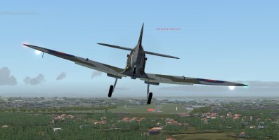
92 trad approach.jpg

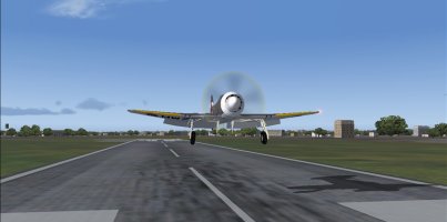
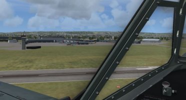
The wind is quite turbulent and we have a dancing final, but make it down OK, if a bit off centre:
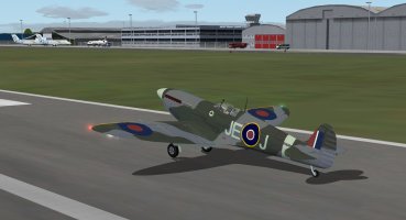
93 down.jpg

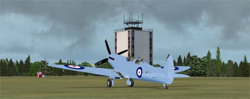
They had reserved us a space next to the fire tender. Shut down procedures complete and Yannick can now relax.
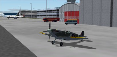
94 the end.jpg

Flight time 1 hr. exactly and 29 gallons used.
 
Spitfire K5054 TR9 Flight 4: Lossiemouth AB (EGQS) to Prestwick (EGPK) Part 1

For this event I am flying in FSX. Using Active Sky 2016 for weather and Little Navmap for navigation.
Flying an Aeroplane Heaven Mid-War pack TR9 Spitfire. Repainted to match the livery of the K5054 TR9 Spitfire.

01 ready to start.jpg
Ready to fly. Looks like reasonable weather locally today. Wind direction indicates a takeoff on runway 10.

02 long taxi to 10.jpg
It was a very long taxi to get to runway 10. Keeping a careful eye on the engine temperatures!

03 hold short 10.jpg
Holding short for runway 10.

04 takeoff 10.jpg
Ready for takeoff on 10.

05 departing EGQS.jpg
I took off to the East and then swung around to the South West to get on course.

06 routine adjustments.jpg
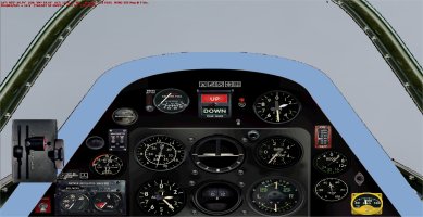
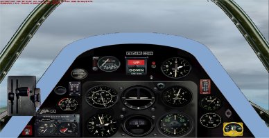
My by now routine adjustments. Set the throttle, mixture and prop settings to conserve fuel. Throttle set to about 63%, then coarsened the prop pitch and moved the mixture back to get a RPM of 2500 with about 4 boost.

07 passing EGQK.jpg
Passing Kinloss AB (EGQK).

08 Inverness ahead.jpg
Now headed for Inverness (EGPE). You can barely see it ahead in this virtual cockpit view.

09 Inverness tower view.jpg
Inverness Tower view of us passing by.

10 same from different angle.jpg
Same shot from a different angle.

Continued in Part 2
 
Spitfire K5054 TR9 Flight 4: Lossiemouth AB (EGQS) to Prestwick (EGPK) Part 2

11 Kessock bridge.jpg
Could not resist checking out the Kessock Bridge. Not an option once I got close enough to scope it out.

12 beautiful vista clouds ahead.jpg
A beautiful vista below, but some clouds building up above.

My original flight plan was parallel to and West of Loch Ness. Decided it would be much more fun to fly over the water instead. Only a single engine, but the Rolls-Royce Merlin 61 V-12 up front is very reliable.

13 over Loch Ness.jpg
Flying over Loch Ness.

14 Looking for Nessie.jpg
This attitude made it easier to look for Nessie. :)

15 cool reflections.jpg
No sign of any creatures this time, but the reflections on the water are beautiful.

16 leaving Loch Ness.jpg
Leaving Loch Ness behind.

17 climbing over the hills.jpg
Climbing up to get over the hills ahead.

18 up to 4000 storm clouds nearby.jpg
Now up to 4000 feet with some storm clouds nearby too.

19 4343 ft.jpg
4,343 feet altitude. Still in a gradual climb to avoid terrain.

19B 4505.jpg
At 4,505 and still climbing. I did not save a picture of the forward view but it is still solid white. I knew that the highest mountain in the UK was somewhere near here in the Scottish Highlands, and somewhere in the mid 4000 foot height range so I kept climbing just in case. (After we landed I looked up Ben Nevis, the highest peak in the UK and it is 4,413 feet. It was West of our flight path so we did not actually fly very close to it.)

Continued in Part 3
 
Spitfire K5054 TR9 Flight 4: Lossiemouth AB (EGQS) to Prestwick (EGPK) Part 3

20 5411.jpg
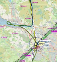
By now we are up over 5,400 feet and no sign of the cloud tops yet. I had to figure out a safe method to get back down below the clouds. I checked the map and just before getting to the Glasgow (EGPF) waypoint we were due to cross the River Clyde. So we flew down and turned West over the river as we kept descending.

21 down from altitude.jpg
Finally broke out in the clear near the town of Dumbarton at an altitude of 248 feet. Whew!

It was then an easy option to just turn around over the water and head back toward Glasgow. I spotted an airliner ahead in the haze and just followed it toward Glasgow.

22 Glasgow 450 ft.jpg
Over Glasgow at 450 feet.

23 Glasgow airliners.jpg
Lots of airliners at Glasgow as we continue on.

After all of the excitement so far on this flight, I decided to just plan to get down safely at Prestwick. No high speed pass down the runway this time.

24 Prestwick turning downwind for 31.jpg
Approaching Prestwick (EGPK) and banking left to get established on the Downwind for runway 31.

25 weather behind me.jpg
Here is a shot of the weather behind me that I am glad to be leaving behind.

26 base for 31.jpg
Base leg for runway 31.

27 over the numbers.jpg
Over the numbers. Landed not quite on center line, but down safely which is what counts.

28 Parked at Prestwick.jpg
Parked at Prestwick with 47% fuel left on board after engine shutdown.

The flight was 206 miles. The flight was completed in 1 hour and 16 minutes at an average speed of 141 knots.

I used 44.8 gallons of fuel on the flight. For this flight the Merlin engine used 35.4 gallons per hour.
 
EGQS>EGHI (inclusive)

Off again from Lossiemouth and soon the Tempest turns to the southwest over Inverness and the Highlands before Prestwick and the coast emerge. The waypoints seem to tick off quickly and another show and tell at RAF Valley provided a good crowd and great interest (but again, I think they were hoping for another Spitfire).

The coast line continued to provide a great view as the Mk.ll made the final turn back to the east at RNAS Culdrose (PP would love this place) and in less than an hour the Hawker landed at Southampton for the last show and tell of the trip. Special thanks to Melo for putting this commemorate together and hosting the event ... and the UK in May? ... a wonderful green landscape that never ended (it's been a long winter) ...

SC_8.jpg

SC_9.jpg

SC_10.jpg

SC_11.jpg

SC_12.jpg

SC_13.jpg

SC_14.jpg

:)
 
Last edited:
Special thanks to Melo for putting this commemorate together and hosting the event ... and the UK in May? ... a wonderful green landscape that never ended (it' been a long winter) ...
Thanks a lot for participating! Your Tempest flies well, and is much faster on the circuit than me. I have two more PIREPS to post tomorrow, currently parked at St Athan AB.

I also love the green landscape, just wish there was slightly less rain than I have encountered on my 6 legs so far! :)
 
If you're using real weather now Melo, there's ZERO chance of rain! In fact there's a good chance of sunburn through the canopy as we're in the middle of an (official....) heatwave here. :oops:
 
I am using Active Sky 2016 for weather. My scan today still shows lots of clouds and rain for flight 7. As I am still writing up PIREPS, I will probably fly that leg tomorrow. I really hope the weather matches your comment by then. :)
 
Spitfire K5054 TR9 Flight 5: Prestwick (EGPK) to Valley AB (EGOV) Part 1

For this event I am flying in FSX. Using Active Sky 2016 for weather and Little Navmap for navigation.
Flying an Aeroplane Heaven Mid-War pack TR9 Spitfire. Repainted to match the livery of the K5054 TR9 Spitfire.

01 engine started.jpg
Engine started and ready to fly. Wind direction indicates a takeoff on runway 31.

02 taxi to 31.jpg
Taxiing to runway 31 in the rain.

03 hold short 31.jpg
Holding short for runway 31.

04 31 takeoff.jpg
Ready for takeoff on runway 31. Note that the taxiway put me on the runway a short distance in front of the end of the runway where the numbers are. In order to get to the 31 numbers I would have had to taxi on runway 21 for a short distance. Not a good idea if it can be easily avoided.
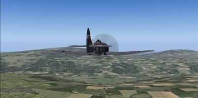
05 headed south.jpg
I took off to the North West and then swung around to the South East to get on course.

06 fuel economy.jpg
My by now routine adjustments. Set the throttle, mixture and prop settings to conserve fuel. Throttle set to about 63%, then coarsened the prop pitch and moved the mixture back to get a RPM of 2500 with about 4 boost. But this time the view out the front is not great!

07 flying treetop level.jpg
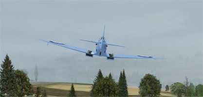
I am literally flying at treetop level to keep the ground in sight and not get swallowed up by the clouds with no ground reference visible.

08 clearer - hills ahead.jpg
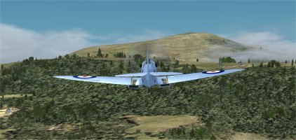
Thankfully the weather cleared up. Good thing as there are hills ahead.
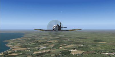
09 Lake District.jpg
Flying over the beautiful Lake District.
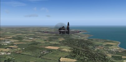
10 sparkling water.jpg
The sunlight is sparkling on the water ahead.

Continued in Part 2
 
Spitfire K5054 TR9 Flight 5: Prestwick (EGPK) to Valley AB (EGOV) Part 2

11 Solway Firth Inverted.jpg
Crossing Solway Firth inverted, because I can! :)

12 Walney Island (EGNL) ahead.jpg
Walney Island (EGNL) is ahead.
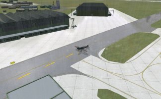
13 Passing Walney Island.jpg
Passing Walney Island.

14 Passing Blackpool.jpg
Now passing Blackpool (EGNH).

15 Warton off left wing.jpg
Warton (EGNO) is off my left wing.

16 Wallasey VOR 500 ft.jpg
Turning West at Wallasey VOR. Clouds and fog are back. Flying at 500 feet altitude.

17 haze gone still raining.jpg
The haze is gone again, but it is still raining steadily.

18 last stretch of water to cross.jpg
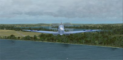
One last stretch of water to cross before getting to Valley AB.

Continued in Part 3
 
Spitfire K5054 TR9 Flight 5: Prestwick (EGPK) to Valley AB (EGOV) Part 3

19 330 feet inverted.jpg
One last bit of fun aerobatics over the water. At 330 feet altitude.

20 Valley AB ahead.jpg
Valley AB (EGOV) is ahead. Mona AB (EGOQ) is in the foreground. The tower gave me permission to swing around to the South and do a fast low pass down runway 32-14. Put the prop into fine pitch, mixture rich, and full throttle as I swung around.

21 79 ft 279 knots runway 32.jpg
279 Knots at 79 feet altitude, not bad! :)

22 tower view.jpg
Tower view of my aircraft.

23 buzzing the tower.jpg
Buzzing the Tower on the way by.

24 downwind for 32.jpg
Settling down for the Downwind leg for runway 32.

25 base for 32.jpg
Base leg for runway 32. Started turning a bit closer to the runway than I normally do.

26 curved final over tree.jpg
Short curved final for 32. Making sure to clear that tree that is right smack in the way.

27 touchdown near numbers.jpg
Touchdown near the numbers. Landed Ok, nothing to write home about. It was a short taxi to parking after that.

28 parked at Valley AB.jpg
Parked at Valley AB with 27% fuel left on board after engine shutdown. This was one of the longer flight legs.

The flight was 262 miles. The flight was completed in 1 hour and 20 minutes at an average speed of 171 knots.

I used 62.0 gallons of fuel on the flight. For this flight the Merlin engine used 46.5 gallons per hour.
 
Back
Top