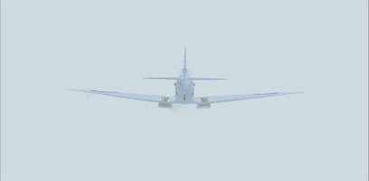
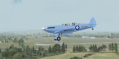
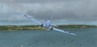
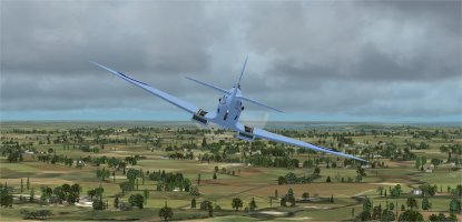
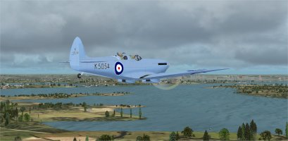
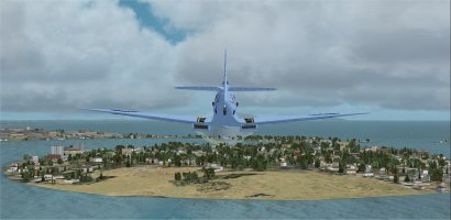
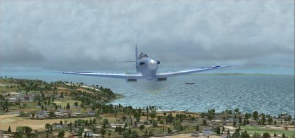
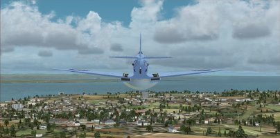
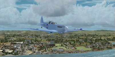
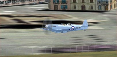
Spitfire K5054 90th Anniversary Circumnavigation of the UK: PIREPS

It is Wonderful to see 'Our Spitfire' PL965 flying in this UK Tour. I was tempted to make an extra stop at North Weald Airfield (EGSX) to see PL965 in the Hangar 11 Collection, but did not think of it until after leg one was already completed. And that was a great idea to edit out the cannons on PL965 in your pictures! :)
 
Spitfire K5054 TR9 Flight 8: RAF St Mawgan AB (EGDG) to Exeter Airport (EGTE) Part 1

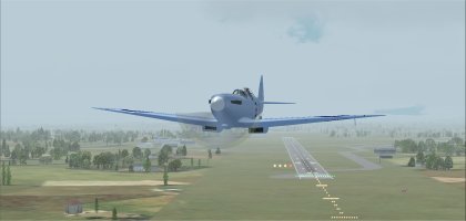
For this event I am flying in FSX. Using Active Sky 2016 for weather and Little Navmap for navigation.
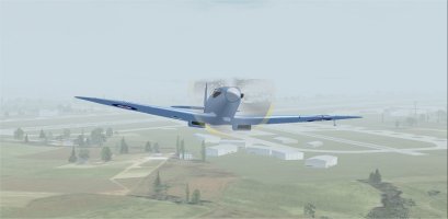
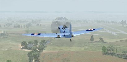
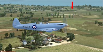
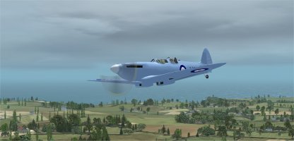
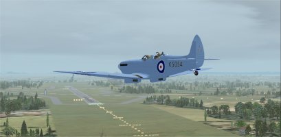
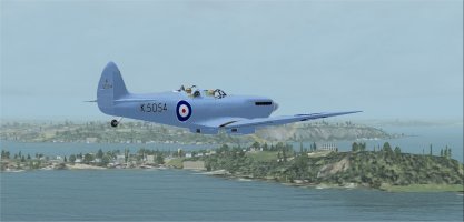
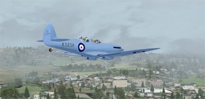
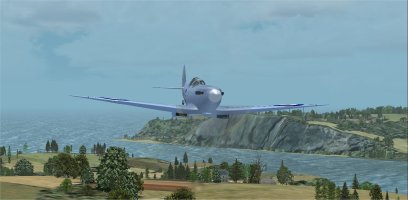
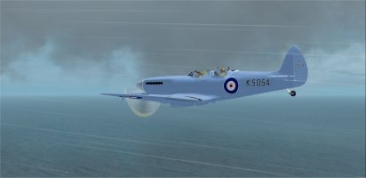
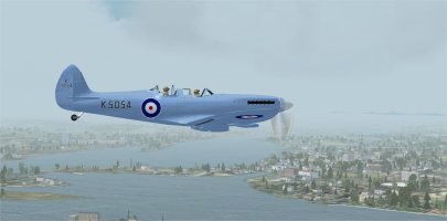
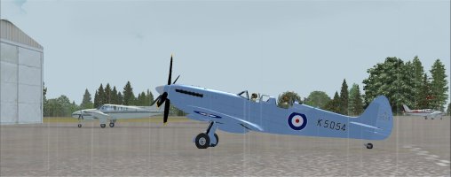
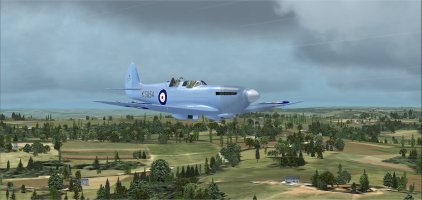
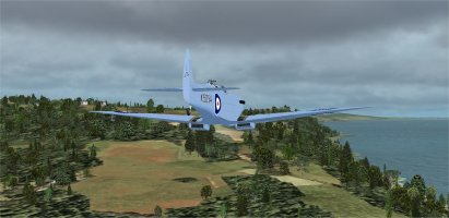
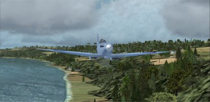
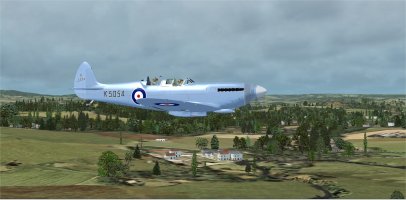
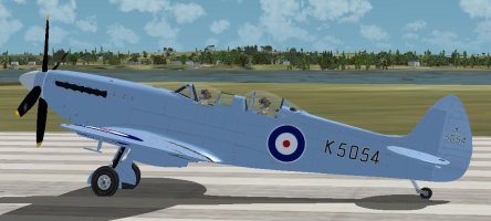
Flying an Aeroplane Heaven Mid-War pack TR9 Spitfire. Repainted to match the livery of the K5054 TR9 Spitfire.

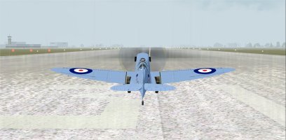
01 ready to start.jpg
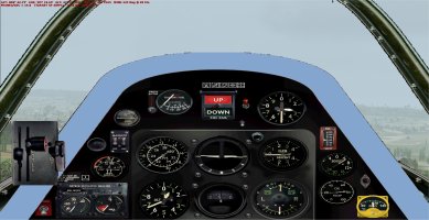
Ready to start the engine for this eighth flight of the UK tour. Wind direction indicates a takeoff on runway 31.

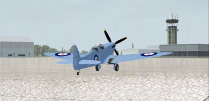
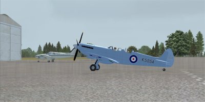
02 taxi to 31 in rain.jpg
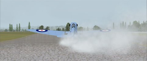
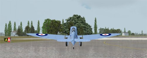
Taxi out to runway 31 in the pouring rain.

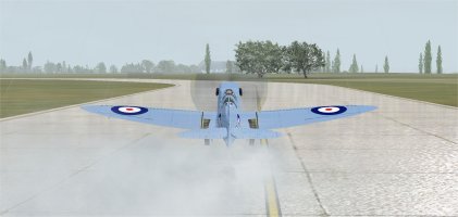
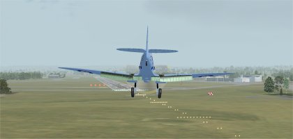
03 takeoff 31.jpg
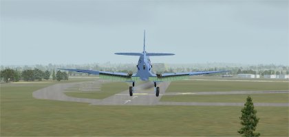
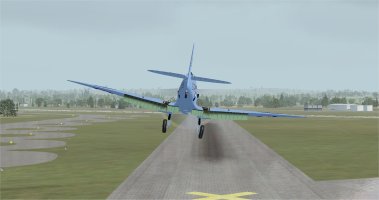
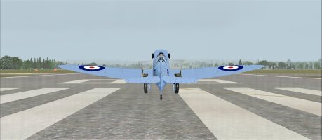
Lined up for takeoff on runway 31.

04 on way 813 ft.jpg
On the way to Exeter Airport.

05 passing EGTP 723 ft.jpg
Passing Perranporth (EGTP).

06 588 ft.jpg
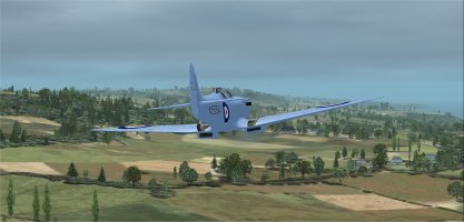
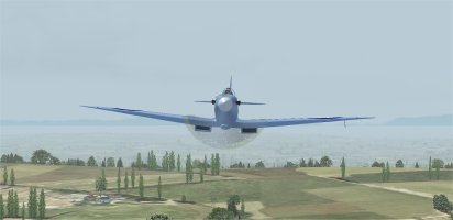
Staying under 600 feet to keep the ground in view.

07 403 ft.jpg
Now at 403 foot altitude.

08 weather clearing some.jpg
Weather is clearing somewhat.

09 turn SW at Pendeen.jpg
Turning South West at Pendeen Lighthouse. I was not able to spot the lighthouse in the FSX scenery.

10 passing EGHC.jpg
Passing Land's End/St. Just Airport (EGHC). The most Southwestern airport on the mainland UK.

Continued in Part 2
 
Spitfire K5054 TR9 Flight 8: RAF St Mawgan AB (EGDG) to Exeter Airport (EGTE) Part 2

11 Headed East.jpg
Now headed East.

12 913 ft socked in.jpg
Socked in at 913 feet altitude. Never got over 1000 feet altitude on the entire flight.

13 204 ft Ferry.jpg
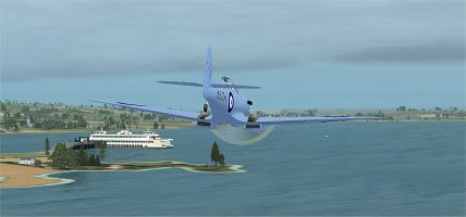
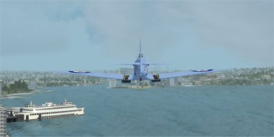
Passing a Ferry at 204 feet altitude.

14 Passing EGDR.jpg
Passing Royal Naval Air Station (RNAS) Culdrose (EGDR).

15 Passing Falmouth 436 ft.jpg
Passing Falmouth.

16 Near Boscoppa 606 ft.jpg
Flying near Boscoppa.

17 289 ft near plymouth Ferry.jpg
Approaching Plymouth. Spotted another Ferry below.

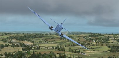
18 aerobatics at 267 ft.jpg
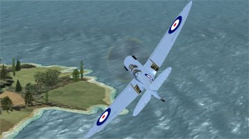
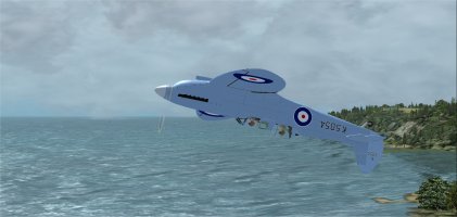
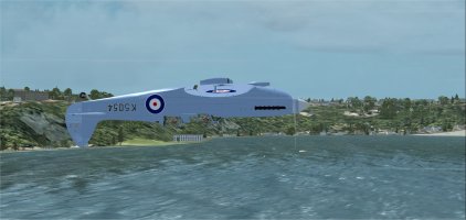
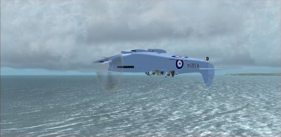
Tried some inverted flight, but did not feel comfortable in the weather conditions and flipped back over fairly quickly.

19 turning NE near Salcombe.jpg
Turning North East near Salcombe.

20 Still in driving rain.jpg
Still flying in driving rain.

Continued in Part 3
 
Spitfire K5054 TR9 Flight 8: RAF St Mawgan AB (EGDG) to Exeter Airport (EGTE) Part 3

21 Berry Head VOR (BHD).jpg
Turning North near Berry Head VOR (BHD). Did spot the VOR in the FSX scenery. Getting close to Exeter now.

22 Aerobatics 196 ft.jpg
More Inverted flight, this time more confident at 196 feet altitude.

23 Passing Exmouth.jpg
Passing by Exmouth.

24 Approaching EGTE.jpg
Approaching Exeter Airport (EGTE). My mistake at this point was to just glance at the airport diagram in the navigation chart. :oops: Wind direction indicated a landing on runway 13. So we swung around to get lined up.

25 Base leg for 13.jpg
Steep Base leg for 13.

26 long final for 13 oops.jpg
On my long final for 13, spotted those Yellow X markings ahead. Whoops, runway 13 is actually taxiway 13 now and closed for landings.

27 go round 13.jpg
My Go Round on 13 at 165 feet altitude.

28 Downwind for 08.jpg
Came around and got properly setup on Downwind for runway 08.

29 Final for 08.jpg
Final for runway 08. The landing went well after all. Just glad that we spotted the ground markings on 13 in time. Would not want an order to stay grounded until the investigation about landing on a closed runway was sorted out.

Looked this up after we landed: "Exeter Airport (EGTE) no longer has an active Runway 13. The airport currently operates with a single, main runway oriented as Runway 08/26 (which is 2,076 meters (6,811 feet) long). Runway 13/31—along with Runway 02/20—was permanently closed many years ago and the space is now primarily used for aircraft parking. 13/31 and 02/20 were both in active use during World War II."

30 Parked at EGTE.jpg
Parked at Exeter Airport (EGTE) with 48% fuel left on board after engine shutdown.

The flight was 197 miles. The flight was completed in 1 hour and 9 minutes at an average speed of 149 knots. The slowest average speed because there was no high speed flyby on this flight, and more time was spent flying slow and finding the correct runway at the destination.

I used 44.4 gallons of fuel on the flight. For this flight the Merlin engine used 38.6 gallons per hour.

One more flight to go on this UK tour.
 
Is she the Spitifre from this pack ?
I tried to figure that out and the answer is maybe. I have the Just Flight Spitfire (2 CD's), and they report on the back cover that there are 2 variants of a "MkIXT" Spitfire. On the Just Flight web site under product support there are FS2004 updates and an FSX update for the original package. The original CD 1 must be in the drive for the updates to work.

My problem is that NONE of the Just Flight parts of the program will run on my Windows 11 machine, so I can't verify if these MkIXT Spitfires are the same one I am flying. It might also have been an Aeroplane Heaven free version that was only available for a short time back in 2007 to 2009.
 
I tried to figure that out and the answer is maybe. I have the Just Flight Spitfire (2 CD's), and they report on the back cover that there are 2 variants of a "MkIXT" Spitfire. On the Just Flight web site under product support there are FS2004 updates and an FSX update for the original package. The original CD 1 must be in the drive for the updates to work.

My problem is that NONE of the Just Flight parts of the program will run on my Windows 11 machine, so I can't verify if these MkIXT Spitfires are the same one I am flying. It might also have been an Aeroplane Heaven free version that was only available for a short time back in 2007 to 2009.
I have some Spitfire:

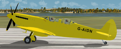
* the pack from JustFlight. In fact it's the Aeroplane Heaven Spitfire pack. The installer work on Win11 without any problem. I installed it on FS2004. The civilian livery provided for the Spitfire T9 is rather ugly: it's a yellow one.
* the Spit XVI from Plane Design. Work great too.
* Spitfire MK IX & XIV from RealAir in FSX . It's the one I use in this tour.

Maybe I can help you for your install problem in Private message.
 
The yellow TR9 is the one I repainted to the K5054 TR9, so it is in the Just Flight Aeroplane Heaven CD's. Thanks for verifying that. I will PM you later today, Thanks!
And the RealAir Mk IX in FSX is my favorite Spitfire to fly! I would have happily flown that one on this tour if there was a good K5054 livery for it.
I am nuts about Spitfires! I just counted up, and in my FSX counting all liveries, I have 83 Spitfires listed! 🙂
 
I am nuts about Spitfires! I just counted up, and in my FSX counting all liveries, I have 83 Spitfires listed! 🙂
Good score. I’m far behind even by counting the freeware even if I’m in love with them too.
Very awful this yellow TR9 isn’it?
 
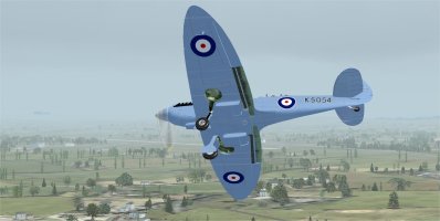
It took me a while to repaint the yellow TR9. That was the easiest one to start from as the texture sheets had a fairly uniform color. Not the Spitfire color I would prefer to be flying for sure.

2026-03-25 11_38_22-Microsoft Flight Simulator X.png

I like the aircraft below much more! :)

K5054 TR9.jpg
 
Flight 8: RAF St Mawgan to Exeter Airport
Having had to land at Plymouth due to IFR conditions at St Mawgan, I began this flight with a short leg from Portsmouth to St Mawgan.
The take-off took place in the rain, and as soon as we passed St Mawgan, the cloud ceiling dropped, forcing me to fly below 1,000 feet.
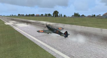
leg8_01_rain.jpg

Halfway through, the sky turned blue again, though unfortunately only for a short while, as one shower followed another.
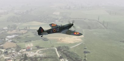
leg8_02_brouillard.jpg

At last, Exeter came into view. It was a beautiful, calm approach under clear skies, and just moments before landing, a sudden “Go Around” command from the control tower rang out in my headset.
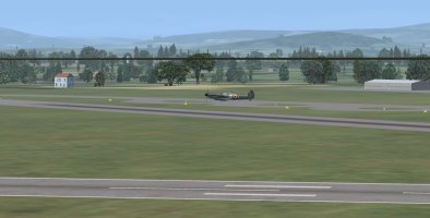
leg8_04_fromTower.jpg

A Beechcraft was stuck on the runway! The second attempt was successful
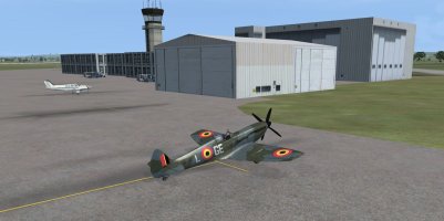
leg8_05_parking.jpg

After a break to recover from the flying conditions, I took off for this final leg.
Unfortunately, the conditions were no better. A layer of cloud was hanging as low as 300 feet
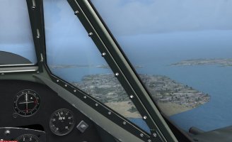
leg9_01_pire.jpg

As we began our approach to Southampton, the control tower announced IFR conditions. The problem was that all the surrounding airports were operating under IFR, and I was flying on reserve fuel. Eventually, after explaining the situation, we were finally cleared to land.
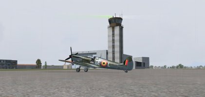
leg9__02_parking.jpg

It seems that the control tower also serves as a lighthouse.

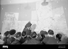
This brings to a close this tribute to the legendary Spitfire.
@Melo965 A huge thank you for the idea, the organisation, the execution and for sharing all those flight plans, which made our lives so much easier.
briefing.jpg
 

Attachments

  • leg8_03_brouillard.jpg
    leg8_03_brouillard.jpg
    136.1 KB · Views: 1
Last edited:
Flight 8: RAF St Mawgan to Exeter Airport
Having had to land at Portsmouth due to IFR conditions at St Mawgan, I began this flight with a short leg from Portsmouth to St Mawgan.

That'd be Plymouth surely? Portsmouth's just south east of Southampton.
 
Thank you very much! It was my pleasure to host and coordinate.

Anytime Spitfires are involved, I am ALL IN! :)
 
Spitfire K5054 TR9 Flight 9: Exeter Airport (EGTE) to Eastleigh/Southampton International (EGHI) Part 1

For this event I am flying in FSX. Using Active Sky 2016 for weather and Little Navmap for navigation.
Flying an Aeroplane Heaven Mid-War pack TR9 Spitfire. Repainted to match the livery of the K5054 TR9 Spitfire.

More pictures than my usual on this PIREP. The last 13 or so are near the destination.

01 ready to fly.jpg
Ready to start the engine for this ninth and last flight of the UK tour. Wind direction indicates a takeoff on runway 08. There is a Beechcraft Baron taxiing out behind me in this photo.
02 taxi in the rain.jpg
Taxiing out to runway 08 in the rain.

03 Hold short 08.jpg
Holding short at 08 waiting for the Beechcraft Baron to takeoff.

04 My turn runway 08.jpg
My turn to takeoff.

05 On way to EGHI.jpg
On the way to Eastleigh/Southampton (EGHI).

06 Tower view hazy day.jpg
Tower view of my departure on this hazy day.

07 my usual adjustments.jpg
My routine fuel conservation adjustments. Set the throttle, mixture and prop settings. Throttle set to about 63%, then coarsened the prop pitch and moved the mixture back to get a RPM of 2500 with about 5 boost this flight.

08 leaving foggy weather behind.jpg
Grateful to be leaving the foggy weather behind.

09 Still raining hard.jpg
It is still raining hard though.

10 Turn at Axminster.jpg
Turning at Axminster to stay on course.

Continued in Part 2
 
Spitfire K5054 TR9 Flight 9: Exeter Airport (EGTE) to Eastleigh/Southampton International (EGHI) Part 2

My flight plan paralleled the coastline, but it was more fun to veer South and fly along the coast, so that is what we did.

11 fly along coastline.jpg
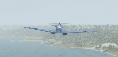
Flying along the coastline.

12 under 300 ft.jpg
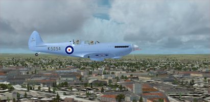
Under 300 foot altitude so the spotters on the ground could see us well on this final leg of the UK tour.

13 Passing West Bay.jpg
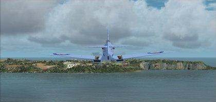
Passing West Bay. Town of Bridport is further away in the distance.

14 Turning NE 63.jpg
Turning North East to a heading of 63 degrees.

15 turnine East 88.jpg
Turning East to stay on course.

16 Approaching Bournemouth.jpg
Approaching Bournemouth on our left.

17 Brownsea Island below.jpg
Brownsea Island is below.

18 Passing EGHH.jpg
Passing Bournemouth Airport (EGHH).

19 Christchurch is below.jpg
Flying over Christchurch town.

20 Inverted over sparkling sea.jpg
Inverted over the sparkling sea.

Continued in Part 3
 
Spitfire K5054 TR9 Flight 9: Exeter Airport (EGTE) to Eastleigh/Southampton International (EGHI) Part 3

21 South toward Isle of Wight.jpg
Just after turning South toward the Isle of Wight to stay on course.

22 Isle of Wight 63.jpg
Flying over the Isle of Wight on a heading of 63 degrees.

23 Beautiful weather finally.jpg
Finally have very beautiful weather on this UK tour!

24 Over East Cowes.jpg
East Cowes is below, still on the Isle of Wight.

25 Headed North toward EGHI.jpg
Headed North toward Eastleigh/Southampton.

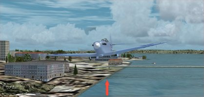
26 Past Supermarine Ramp.jpg
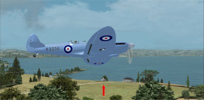
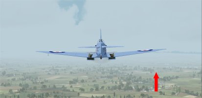
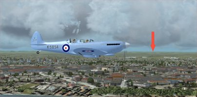
Just went past the Supermarine flying boat ramp again. The red arrow points to where the Supermarine Woolston flying boat ramp is located in reality. The next picture shows it in more detail.

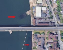
27 Supermarine Woolston.jpg
See the upper arrow. The Supermarine Woolston flying boat ramp is a Grade II listed, historic concrete slipway on the River Itchen in Southampton, used from 1913 to 1940 for testing and launching iconic Supermarine flying boats and Schneider Trophy racers.

The lower arrow points to a 1:1 scale Spitfire silhouette in the cobblestones of the courtyard. Kit and I were there years ago on my Spitfire pilgrimage to the UK.

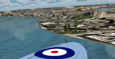
28 Low along River Itchen.jpg
Flying low along the River Itchen again.

I called ahead to the Southampton tower and they said that the wind was from the South so I would have to overfly the airport and then come around to land on runway 20. They gave me permission to do a fast low flyby along the 02-20 runway on the way. So I enriched the mixture, added full throttle, and changed the prop into fine pitch for the pass.

29 250 kts at 77 ft.jpg
250 Knots at 77 foot altitude, not bad. :)

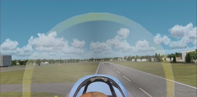
30 tower view.jpg
Tower view of us whizzing by.

Continued in Part 4
 
Back
Top