-
There seems to be an uptick in Political comments in recent months. Those of us who are long time members of the site know that Political and Religious content has been banned for years. Nothing has changed. Please leave all political and religious comments out of the forums.
If you recently joined the forums you were not presented with this restriction in the terms of service. This was due to a conversion error when we went from vBulletin to Xenforo. We have updated our terms of service to reflect these corrections.
Please note any post refering to a politician will be considered political even if it is intended to be humor. Our experience is these topics have a way of dividing the forums and causing deep resentment among members. It is a poison to the community. We appreciate compliance with the rules.
The Staff of SOH
You should upgrade or use an alternative browser.
The Battle of Leyte Gulf
- Thread starter rbp71854
- Start date
Flamingskull5000
SOH-CM-2025
Pat Pattle
SOH-CM-2025
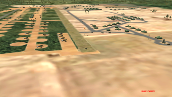
I'll be happy to help come the time!Jealous, I need someone to make airfields like that
Pat Pattle
SOH-CM-2025
Pat Pattle
SOH-CM-2025
gecko
Charter Member
sixstrings5859
Charter Member
sixstrings5859
Charter Member
rbp71854
PTO Solomons ,PTO Rising Sun, ETO Expansion
Thank you Scott for the words of encouragement.This is so exciting to follow. All the time put in for such progress . Amazing future for us. Thanks for all the effort.
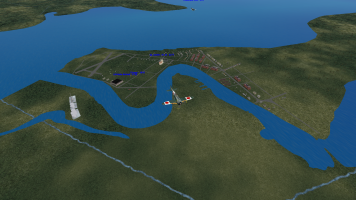
I am afraid that my rework of the coastlines/water has created a bunch of rework of airfield facilities and installations, not to mention roads and railroad lines.
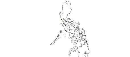
I only wished that when I started I had the topos that I recently found for the Philippines. It was a folly to use the generated contour lines as the coastlines.
There are benefits, I have a better understanding of the geography and have found a method of actually placing maps and jpgs of created airfields without coordinates into the global mapper.
Back to the question. to not have shorelines at certain locations. Inputs please
Cheers
mongoose
SOH-CM-2025
IIRC none of the experts in this are has found a solution.Thank you Scott for the words of encouragement.
I am afraid that my rework of the coastlines/water has created a bunch of rework of airfield facilities and installations, not to mention roads and railroad lines.
I only wished that when I started I had the topos that I recently found for the Philippines. It was a folly to use the generated contour lines as the coastlines.
There are benefits, I have a better understanding of the geography and have found a method of actually placing maps and jpgs of created airfields without coordinates into the global mapper.
Back to the question. to not have shorelines at certain locations. Inputs please
Cheers
Pat Pattle
SOH-CM-2025
So can you now differentiate between sea and rivers/lakes? Having no shorelines for 'fresh' water features would be ideal I suppose. Having said that all water tends to have some sort of shoreline. Can there be 2 types?


