Hey guys,
I had so much fun flying Padburgess's challenge this weekend, I thought I'd share something of my own.
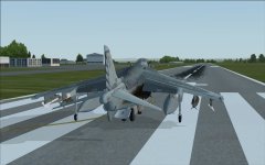
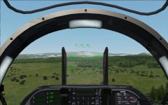
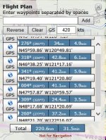
A Seattle reporter once got a ride in the right seat of an A-6 through the Cascade Mountains dubbing it "a million dollar ride". From what I remember, the ride in question was the VR-1355 low level route. Having never flown it myself (I tried once, but was weathered out by mountain obscuring clouds) I've always been dying to give it a go. So, inspired by Padburgess, I have plotted the route in Skyvector, stripped the chart (as much as SV allows), and calculated some legs.
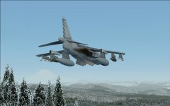
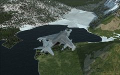
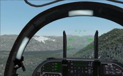
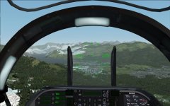
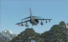
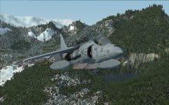
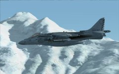
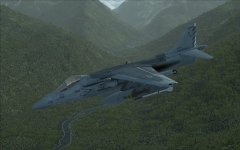
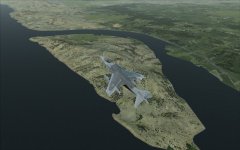
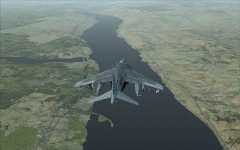
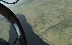
I just tried it and it is truly a beautiful ride through the mountains.
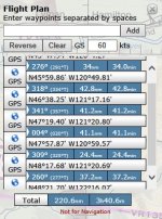
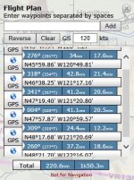
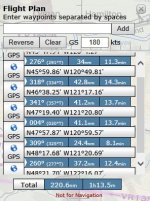
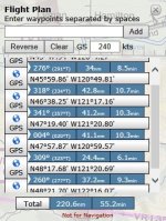
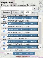
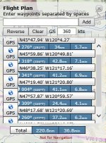
I've attached all the strip maps and waypoint logs run at every 60kts (it's an easy mile a minute calculation that I actually guess wasn't necessary since SV ran all the numbers anyway, but old habits die hard). I've also included some maps to get you to point A. This isn't quite like the other route as you will not have a valley to follow. This will be low level (500ft maximum) time/distance/heading with map interpretation. It's not a particularly easy route, especially down low. Keep honest on your headings and airspeed, form a big picture of the terrain that you are flying over from the chart, and remember "Clock to Chart to Ground". If you keep your speed and timing then don't get suckered into turning early (or late) by an inviting landmark...trust your numbers!
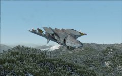
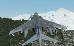
You will not likely be able to maintain 500ft the entire way, due to the rugged terrain. Just do you best using terrain masking and enjoy the several opportunities for inverted ridgeline crossings that the route gives you!
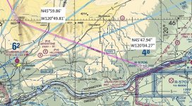
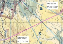
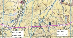
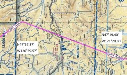
For those who like a challenge, pick a time on target at the last point and see if you can get to the final point on time...+/-30sec is the normal criteria for proficiency. I actually didn't do my full flight planning for you. It's much easier to add the times and keep elapsed time from point A rather than restart your clock at every point, so up to you on that. My apologies for the odd map orientations. They should be track up, but SV puts the distance and heading North up.
Anyone up for it?
Strip Charts:
A-B:
B-C:
C-D:
D-E:
E-F:
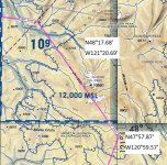
F-G:
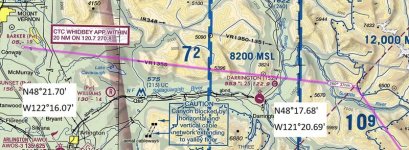
I had so much fun flying Padburgess's challenge this weekend, I thought I'd share something of my own.
A Seattle reporter once got a ride in the right seat of an A-6 through the Cascade Mountains dubbing it "a million dollar ride". From what I remember, the ride in question was the VR-1355 low level route. Having never flown it myself (I tried once, but was weathered out by mountain obscuring clouds) I've always been dying to give it a go. So, inspired by Padburgess, I have plotted the route in Skyvector, stripped the chart (as much as SV allows), and calculated some legs.
I just tried it and it is truly a beautiful ride through the mountains.
I've attached all the strip maps and waypoint logs run at every 60kts (it's an easy mile a minute calculation that I actually guess wasn't necessary since SV ran all the numbers anyway, but old habits die hard). I've also included some maps to get you to point A. This isn't quite like the other route as you will not have a valley to follow. This will be low level (500ft maximum) time/distance/heading with map interpretation. It's not a particularly easy route, especially down low. Keep honest on your headings and airspeed, form a big picture of the terrain that you are flying over from the chart, and remember "Clock to Chart to Ground". If you keep your speed and timing then don't get suckered into turning early (or late) by an inviting landmark...trust your numbers!
You will not likely be able to maintain 500ft the entire way, due to the rugged terrain. Just do you best using terrain masking and enjoy the several opportunities for inverted ridgeline crossings that the route gives you!
For those who like a challenge, pick a time on target at the last point and see if you can get to the final point on time...+/-30sec is the normal criteria for proficiency. I actually didn't do my full flight planning for you. It's much easier to add the times and keep elapsed time from point A rather than restart your clock at every point, so up to you on that. My apologies for the odd map orientations. They should be track up, but SV puts the distance and heading North up.
Anyone up for it?
Strip Charts:
A-B:

B-C:

C-D:

D-E:

E-F:

F-G:


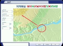
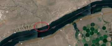
 I'm not familiar with VR-1355 from back in the day. Interesting how it starts right outside R-5701, the Boardman bombing range. I would expect a VR route to terminate there, rather than start.
