BendyFlyer
Charter Member
Flyings Cool - Agree about getting lost. As ground charts for lots of different places are hard to come by I can admit to resorting to using the GPS in terrain mode as a map but that is all, I think that is reasonably legitimate. That was another reason why I thought the Marble Arch scenery was a good find a huge arch structure in the desert sure makes a great landmark. Other than that time honoured navigation technique is the only way - CLOCK- MAP - OUTSIDE.
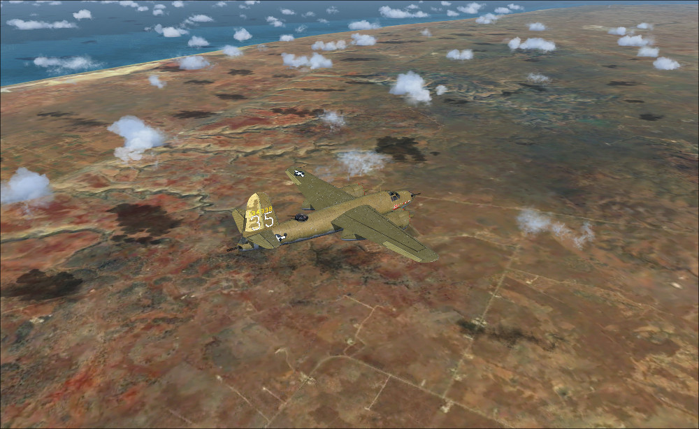
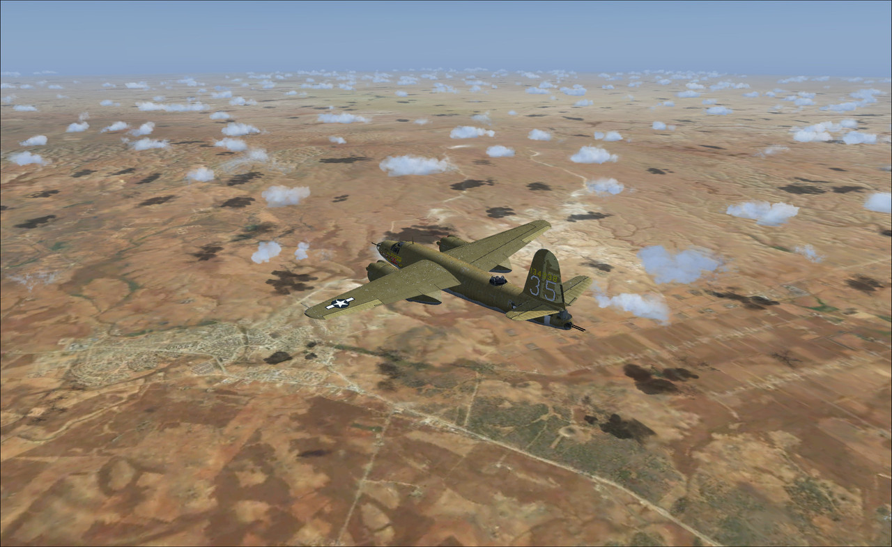
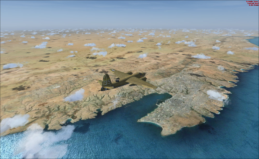
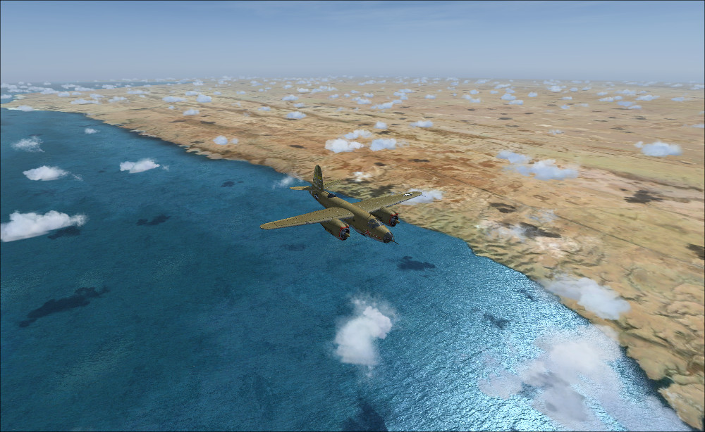
I have just changed the mesh for this area using a freeware mesh for area 602, that has helped a lot to get some terrain shaping where possible.
I have just changed the mesh for this area using a freeware mesh for area 602, that has helped a lot to get some terrain shaping where possible.