• There seems to be an up tick in Political commentary in recent months. Those of us who are long time members of the site we know that Political and Religious content has been banned for years. Nothing has changed. Please leave all political and religiours commentary out of the fourms.

    If you recently joined the forums you were not presented with this restriction in the terms of service. This was due to a conversion error when we went from vBulletin to Xenforo. We have updated our terms of service to reflect these corrections.

    Please note any post refering to a politicion will be considered political even if it is intended to be humor. Our experience is these topics have a way of dividing the forums and causing deep resentment amoung members. It is a poison to the community. We apprciate compliance with the rules.

    The Staff of SOH

  • Server side Maintenance is done. We still have an update to the forum software to run but that one will have to wait for a better time.

WWII North Africa FSX Scenery

Flyings Cool - Agree about getting lost. As ground charts for lots of different places are hard to come by I can admit to resorting to using the GPS in terrain mode as a map but that is all, I think that is reasonably legitimate. That was another reason why I thought the Marble Arch scenery was a good find a huge arch structure in the desert sure makes a great landmark. Other than that time honoured navigation technique is the only way - CLOCK- MAP - OUTSIDE.

I have just changed the mesh for this area using a freeware mesh for area 602, that has helped a lot to get some terrain shaping where possible.
 
Flyings Cool - Agree about getting lost. As ground charts for lots of different places are hard to come by I can admit to resorting to using the GPS in terrain mode as a map but that is all. . . . . .
Case in point, the Crew of the B-24 Lady-Be-Good, who flew 440nm into the Libyan Desert assuming they were still over the Med. Trying to Navigate during that Era and mistakenly assuming the ripples in the sand below were waves. . . .during the day would be bad enough due to lack of references. . .but at night. . .that poor crew found out the hard way.

This has been a good thread thus far and of some interest since I was stationed in Libya for 2 years and spent about 4 days in the Sahara west of Tripoli. . . .but that's another story for another thread so press on!!
 
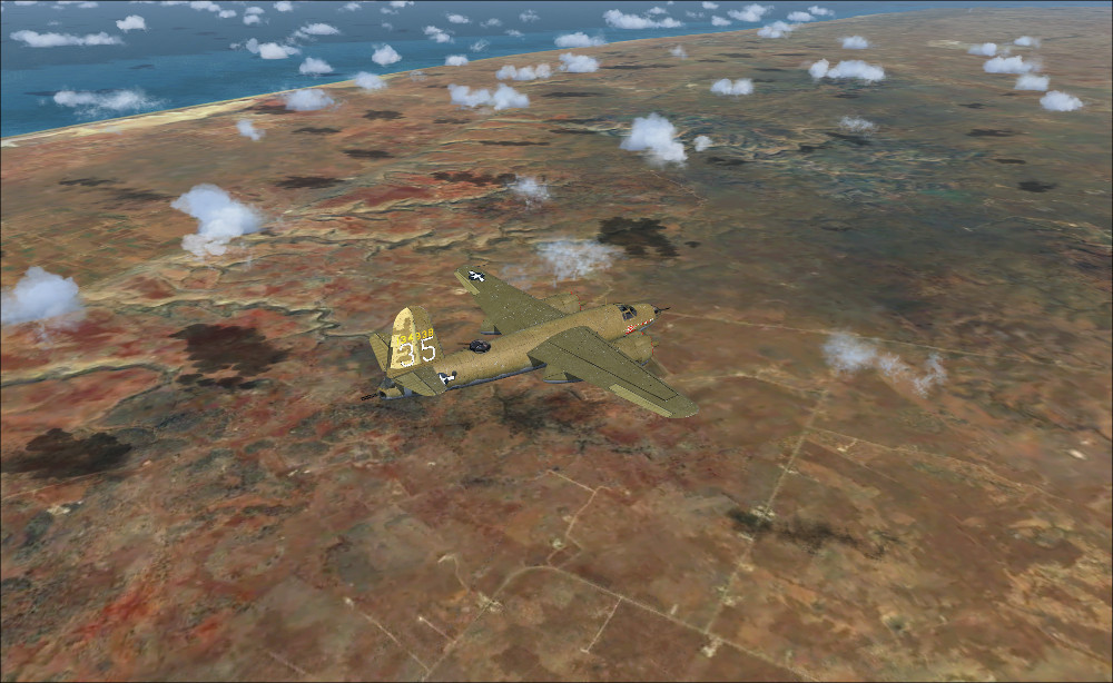
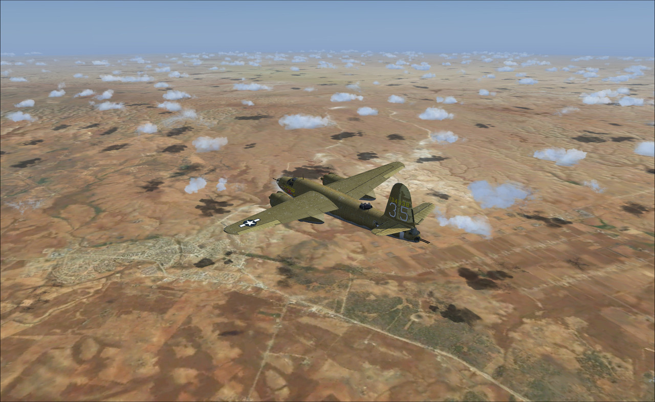
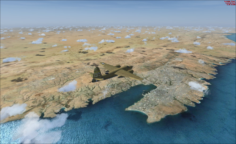
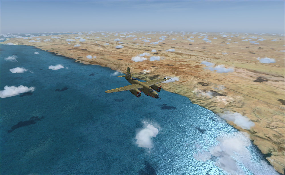
Its not the western desert im afraid, but Tunisia. Djedeida airfield, captured from the Germans and home to Marauders and lightnings until the invasion of Italy. Expect it by the weekend or so, just a few more details to add :wavey:
 
Interesting how under done or lack of interest in Libya in the sim. Morocco, Tunisia and Egypt are well covered scenery wise, not specifically WW2 but certainly realistic compared to stock FSX. But apart from a few addons here and there, Libya and indeed the Desert War is a bit of a black hole. That goes for information on air operations, ground ops are well covered but the airforce etc only partially. I guess given the sheer non stop dynamic of the battles there back and forth everybody was busy and keeping records for later was an afterthought. It is also interesting that the official air force histories are quite bereft of any detail. Still using 6 Squadron RAF who were there from the beginning, the number of aircraft changes they had was phenomenal, from early biplanes Gladiators etc to Lysanders to Hurricanes to Beauforts to Hurricanes to Spitfires which reflects the shortage of aeroplanes and the Brits just threw anything they had into the arena. Anyhow led me to start picking up some interesting sim models, the Lysander, the Avro Anson, the Gladiator, the Hurricane IIC. I have not even begun to look at the US effort from the west later on.

Anyway what I can find that may be of interest I will share for those interested. I think it is a fascinating project.
 
The major issue for me is the plain,
uniform & thus boring sand landscape to fly over... But I tested a free available photoscenery
of whole N. Africa - Sahara and things improve dramatically. It's a 16m/pixel photoscenery (http://www.airhispania.com/phpBB3/viewtopic.php?f=77&t=3743),
suitable for flying above 15.000 feet. But even at ground level, I prefer this over what FSX offers :

Near Benghazi, view to North, NorthEast
Benghazi1.jpg


View to East
Benghazi2.jpg


Tobruk, view to southeast
Tobruk1.jpg


Tobruk, view to southwest
Tobruk2.jpg
 
Not much I can add to this for some time. Had to rebuild the hard drive and FSX due lightning strike. Take me a while to catch up again. Still following this with interest but sundry wip LG's went up in smoke. Will add what I can when I can.

XPELEKIS - Nice find. I will check it out seeming I am doing a rebuild. Thanks.
 
Thank you all for this discussion and all of the links. I really enjoy the early days of aviation.

Thanks,

T
 
Back
Top