
-
Please see the most recent updates in the "Where did the .com name go?" thread. Posts number 16 and 17.
-
IMPORTANT DOWNLOADING INFORMATION - ALL MEMBERS PLEASE READ
Please see this thread for updates. Update Thread
SOH ADMINISTRATION
You are using an out of date browser. It may not display this or other websites correctly.
You should upgrade or use an alternative browser.
You should upgrade or use an alternative browser.
CBI Scenery Project
- Thread starter UncleTgt
- Start date

UncleTgt
SOH-CM-2026
Thanks guys. I'm just trying to garner some interest for a neglected part of WWII's air campaigns, especially from prospective mission creators.
It was a tough slog from both the RAF & IJAAF perspectives.
After the initial sweeping moves, IJAAF assets were often outnumbered & so often resorted to tip & run type operations or fighter sweeps, redeploying to safer rear area bases in Singapore, Malaysia, Vietnam & Thailand after ops & just using many of the Burmese strips as forward operating bases.
RAF assets suffered from a slow build up of numbers, often of "second class" aircraft types. Similarly they also suffered from a slow development of bases across India from which to base any offensive operations.
The Arakan campaign of '43 taught the RAF some hard lessons, as the Hurricane sqns suffered at the hands of superior quality pilots equipped with tight turning Oscars.
It was only after the final IJA gambit was broken at Kohima/Imphal/Admin Box in the spring of '44 that Allied air power truly began to transform the ground war, especially with the innovation of air supply techniques.
UncleTgt
SOH-CM-2026
For any advance back into Burma through the Arakan coast, a whole infrastructure needed to be built closer to the border. The road wasn't a road at all, it was little more than a track, & there was nothing south of Chittagong for aircraft to use.
Nonetheless, the coast seemed the "easiest" route so through the 2nd half of 1942 a myriad of advance landing grounds were created between Chittagong & the Burmese border. Later these would include a handful of strips inside the border itself, & this hotch-potch of landing grounds were added to again for the 1944 offensive.
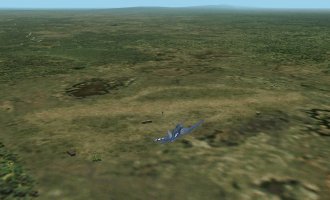
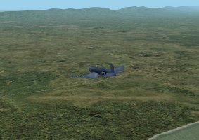
Approaching Cox's Bazar from the West
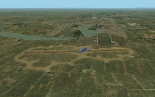
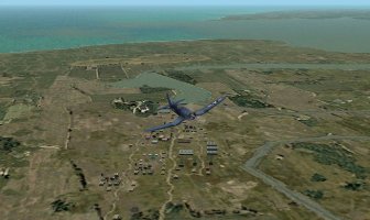
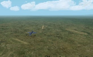
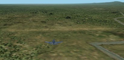
And overhead the town itself, looking West
Nonetheless, the coast seemed the "easiest" route so through the 2nd half of 1942 a myriad of advance landing grounds were created between Chittagong & the Burmese border. Later these would include a handful of strips inside the border itself, & this hotch-potch of landing grounds were added to again for the 1944 offensive.
Approaching Cox's Bazar from the West
And overhead the town itself, looking West
UncleTgt
SOH-CM-2026
Ahem, that should be "Reindeer"
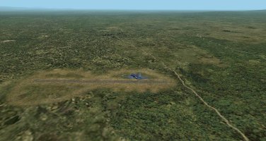
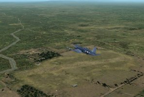
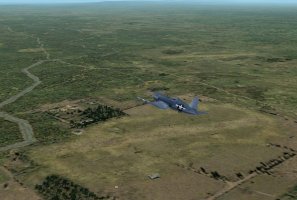
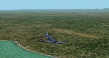
Moving on, just East of Cox's Bazar & between it & Ramu, we had, by 1944, 2 more strips, Jumchar & Lyons.
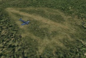
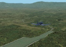
To the NE of Cox, & N of Ramu was Jaori
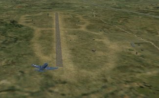
& midway between here & Dohazari they built Chiringa.
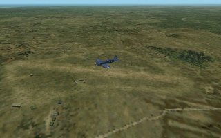
Just to South of Ramu was Hay.
Moving on, just East of Cox's Bazar & between it & Ramu, we had, by 1944, 2 more strips, Jumchar & Lyons.
To the NE of Cox, & N of Ramu was Jaori
& midway between here & Dohazari they built Chiringa.
Just to South of Ramu was Hay.
Attachments
UncleTgt
SOH-CM-2026
UncleTgt submitted a new resource:
India - Chittagong - Next CBI scenery package. This time it's the Chittagong area of India's East Bengal state.
Read more about this resource...
India - Chittagong - Next CBI scenery package. This time it's the Chittagong area of India's East Bengal state.
India Chittagong Scenery for CFS2 by UncleTgt
View attachment 186541
This is a reworking of the stock sceneries for the SE corner of the East Bengal state of India. This is the latest in a series of scenery releases, to expand & build on this area to cover more of the CBI theatre of operations. It coninues the coastline North from the Burmese border past Cox's Bazar & Chittagong.
It is designed for use with Rhumbas mesh, but as it's outside the SWPTO, should work well in a...
Read more about this resource...
UncleTgt
SOH-CM-2026
I did a back-dated layout for Chittagong, so there will be 2 sets of airstrips & gsl with the next package, one for late '42/early '43 (First Arakan offensive), & one for late '43/ early '44 (Second Arakan offensive - Battle of the Admin Box).
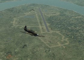
Chittagong in early '42 would be even more spartan. After the Japs raided it it was abandoned & the air assets decamped to Comilla. As Chittagong would be the only strip in an early '42 set for this area (not even a runway at Cox's Bazar until the end of the year!), I decided it just wasn't worth the effort.
Similarly, I decided against doing Hathazari. It wasn't operational until the end of 1944, & by then much of the action had moved on...
Thank you for this scenery Uncle. I do have a question though. Do you have any idea why it appears that there is a never ending land mass stretching to the west beyond Chittagong? I have the 44E set currently active. Attached Screenshot 52 is a top down view showing the 'magical' land stretching into the Bay of Bengal, where 53 shows a 'low-rez' view of what I'd expect to see.
Attachments


UncleTgt
SOH-CM-2026
Not sure, but it might be a scenery hierchy issue. Your first screengrab clearly shows where my watermask finishes, so it's something in another scenery layer that's telling CFS2 it's Land.
I will get some screengrabs of how my install looks & post them when I get the chance.
I'm already working on the Fenny area, together with some early G2K wotk for the Ganges delta & as far inland as Dacca... I don't think any of that work would cause any issue though...
I will get some screengrabs of how my install looks & post them when I get the chance.
I'm already working on the Fenny area, together with some early G2K wotk for the Ganges delta & as far inland as Dacca... I don't think any of that work would cause any issue though...
Great work John - thanks very much!
I've just installed the scenery and have been flying around Chittagong. Everything looks fabulous. The railway lines came out well. Your curved revetments will be very useful for the northern Australian airfields I'm working on.
I've just installed the scenery and have been flying around Chittagong. Everything looks fabulous. The railway lines came out well. Your curved revetments will be very useful for the northern Australian airfields I'm working on.

Hi Uncle. There is certainly something up with my CBI Install, but I'm not sure what. I triple checked the hierarchy, and what I currently have closely aligns with your CBI scenery Library Hierarchy pdf from last year. I even disabled the India_UT and the Bengal Bases within the library view, just to see what would happen. My CBI install is certainly treating the bay of Bengal as vast stretches of farm land rather than salty ocean.
on a whim, I copied down the coords for Lyons and checked out the scenery within my Super Stock install and my PTO installs. My Super stock CFS2 treats the bay of Begal as at best a swamp (picture 54), and at worst, an oil slick. my PTO specific install is very different. It looks close to 'perfect', or at least far better than what I'm seeing in my Super Stock or CBI installs (Install 55).
on a whim, I copied down the coords for Lyons and checked out the scenery within my Super Stock install and my PTO installs. My Super stock CFS2 treats the bay of Begal as at best a swamp (picture 54), and at worst, an oil slick. my PTO specific install is very different. It looks close to 'perfect', or at least far better than what I'm seeing in my Super Stock or CBI installs (Install 55).
Attachments


UncleTgt
SOH-CM-2026
Browncoat,
Just a random thought - I have a recollection that Rhumbas LOD5 mesh &/or DEM4KM files live within the CFS2 folders.
So when I state my packages should work with a stock install, I've always used a stock CFS2 with Rhumbas DEM4KM/LOD5 changes. Maybe that's responsible - does your PTO specific install use Rhumbas DEM4KM/LOD5 mesh changes (maybe)?

Hi Uncle. Yep I use Rhumba's DEM4KM/LOD5 mesh changes, even in my Super Stock install. They do an amazing job updating baseline CFS2, and that's before really doing any mud moving with Rhumba's heavier mesh.
Now I 'think' I figured out the issue...well I solved it, but I don't know why it works...
I noticed in my PTO install, the Bay of Bengal looks pretty good, so I dug around what was different in that install compared to my CBI. I noticed that my CBI install didn't have Rhumba's Global Surface Water. I dropped that file from my PTO install, and now the Bay of Bengal looks like this in my CBI install (image 56 and 57):
Attachments


Last edited:
UncleTgt
SOH-CM-2026
Browncoat
Glad you got it sorted, but it does like a workaround - Rhumbas Global Surface Water shouldn't be necessary.
Assuming the stock scenery is active, & the hierachy is okay, the only thing I can think off to turn the Bay of Bengal into land is that some or all of the "cst..." bgls in the SCENEDB/WORLD/Scenery folder are missing?
These bgls are the water/land shapes for the areas outside of the PTO, & they do exist in an OOB install of CFS2.
If you have Jim Kiers LWM Viewer you can load them & see which area each of them covers, as the filenames aren't very helpful on their own.