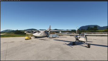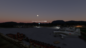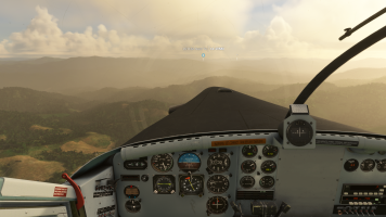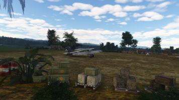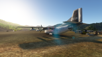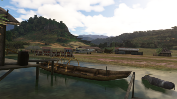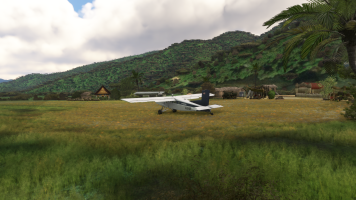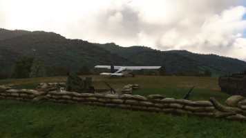
I think that when I release the scenery there will be a lot of gripes among useres because they won't be able to land on them. Landing on most of these Laos strips is a challenge. You have to know your aircraft pretty well to do that successfully. And fight with adverse weather conditions. No wonder that the Air America and CASI pilots where the best. I think that at least 60% of the strips in the scenery are hair raising.
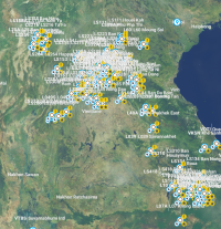
I designed the strips by using original air facility data by Air America / CIA (runway coordinates, orientation, length, surface conditions, and AC type restrictions). Typical parameters are one way (even with tail wind), uphill, rolling and so on. Most runways I make are terraformed, which means they are not even, but are adjusted for the natural topography of the area.
The pilots back then were assigned to regions, for months and flew only a single aircraft type. It took them a long time to get familiar with the area and this had to introduced to them by a experienced pilot in command. Many strips were off limits when one did not have a clearance and training on them. You also absolutely need to memorize the visual cues of the topography in these areas to navigate, as well as land and start sucessfully.
So anyone who uses this scenery will have a real challenge, for most of the strips
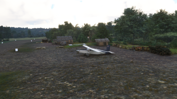
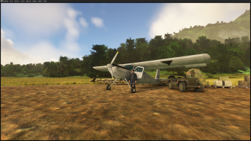
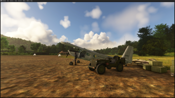
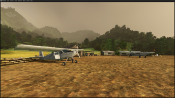
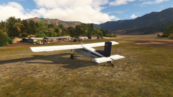
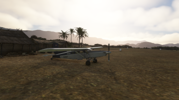
Images are from today, I went over some eastern strips and made corrections while doing so. I were not there for a while, and had some difficulties (nothing serious, just scrap my landing intention and a go around). I think I will try to make a few videos doing so.
Cheers,
Mark