CFS3 Terrain Creation - is anyone still around?

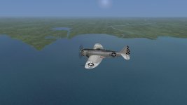
This I believe was only a lighting issue, and is fixed in a version of the shaders I am testing.
 
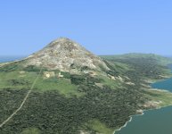
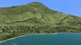
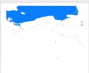
Just roughing in different landclasses with MW LCF_View . One could spend a lot of time trying to get a good look.
 

Attachments

  • azore7.jpg
    azore7.jpg
    172 KB · Views: 130
thanks! and thank you for the build info you kept for all these years

Iam afraid that most of my dem data and bat files are lost. I have been trying to use Disk Drill to recover more data but so far not much success.

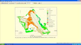
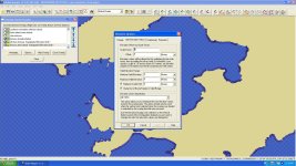
I have found a photo of GM screenshot of terrain creation
2012lc-1.jpg

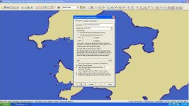
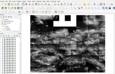
and some photos of flattening of elevation that you may find that you need to do.
flattening areas-1.jpgflattening areas-2.jpg
 
Test of my Global Mapper favorites folder URLS

Following is a zip file of my global mapper favorites for creation of Rising Sun. The urls include historical maps, topos, etc and articles.

Clive especially the Perry-Castaneda Library Collection was very helpful in creating China.

Steve You will also find info of the Azores if you are still creating that theater.

I have tested the zip file and it will create a folder of urls that you will be able to use. There some dead urls that probably don't exist any more or have changed.


Attachments

  • testGlobalmapper.zip
    10.6 KB · Views: 14
Steve You will also find info of the Azores if you are still creating that theater.

thank you I will look at that as I have some interest. I probably won't develop this theater any further as I was only using it to test the terrain tools.
 
Gosh that is really looking great. Save some clicks for the railroads, roads ai pathing.:biggrin-new:

Ted and you are very much on your way with creating some special theaters.:applause:
 
While we're on this topic I'll add my 2 cents worth. IF anyone really wants to develop some terrains, perhaps overlapping ones could be made , which, together with other folders, such as missions, could be switched by batch files or similar apps, such as the ETO eras were done. IF that switching is possible, then in that case:-

1. Norwegian occupation, convoy attacks, BC raids against German warships, and if possible NJ activity in the Jutland/Kiel area. Map to go from N. England, Scotland and the Shetland Islands, Norway, (as far south to the latitude of Kiel and then as far North from there)

2. A latitude covering only as far South as the Northern Alps and the as far North as possible, Longitude from about Paris to as far East as possible. This would then cover more of the East, maybe up to the partition of Poland. Good for BC and 8th USAAF raids into Hungary, as well as late Nazi-USSR action.

3. The proposed Eastern Front map.

Doesn't MAW cover all the rest?
 
Back
Top